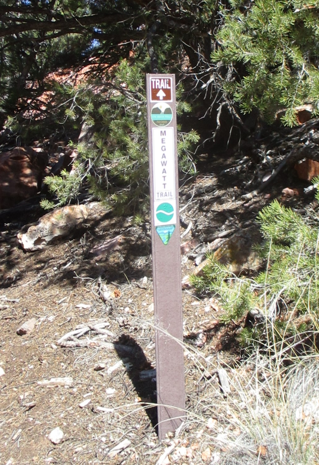
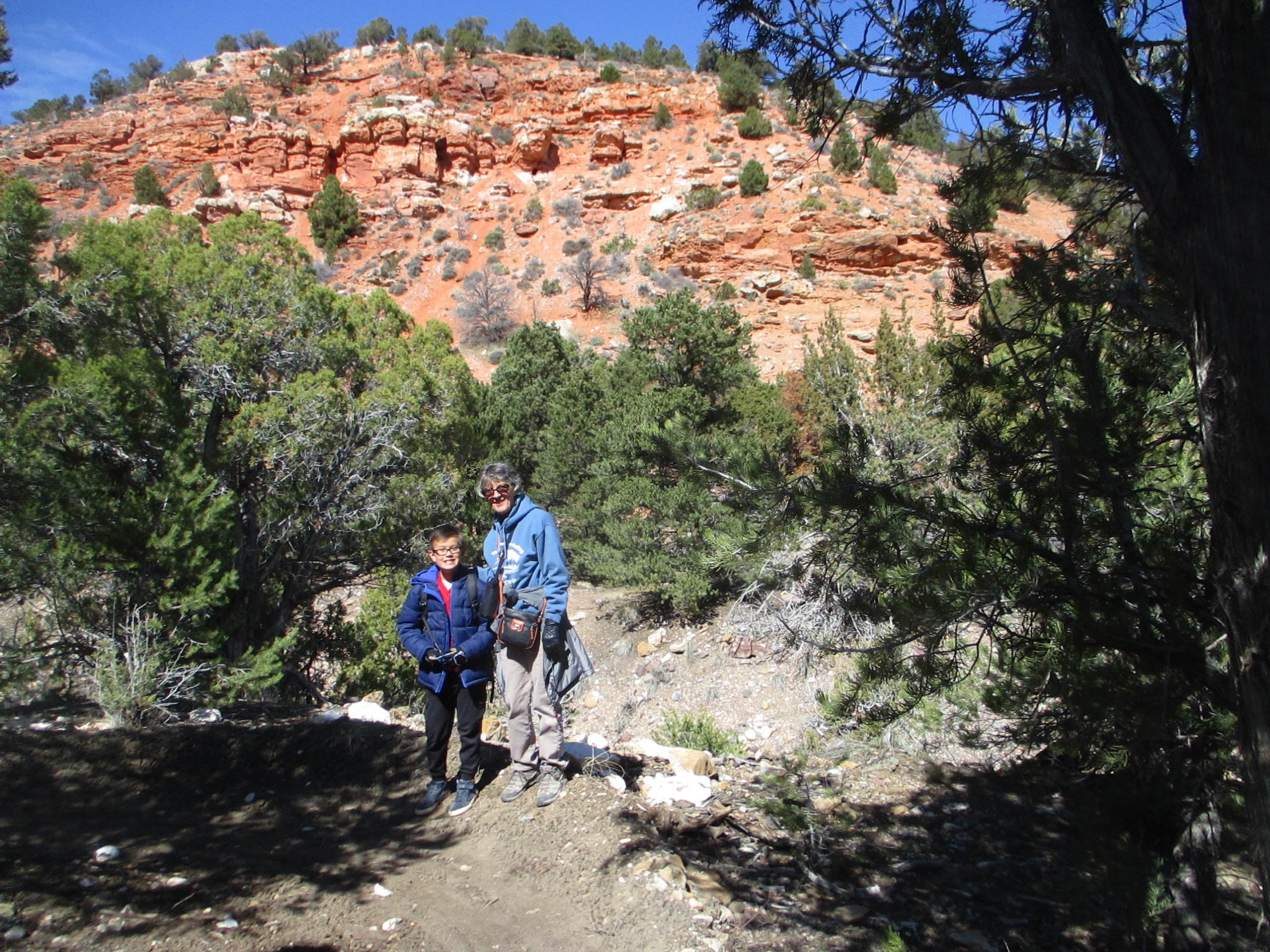
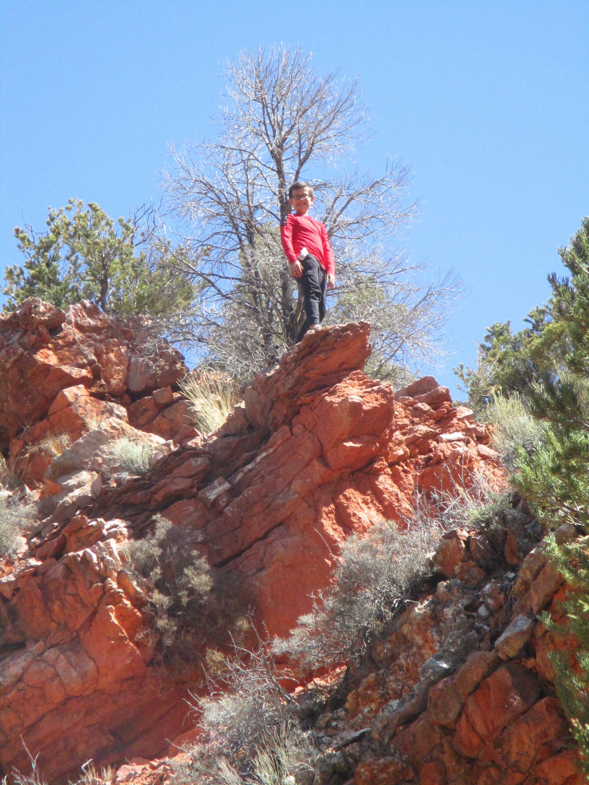
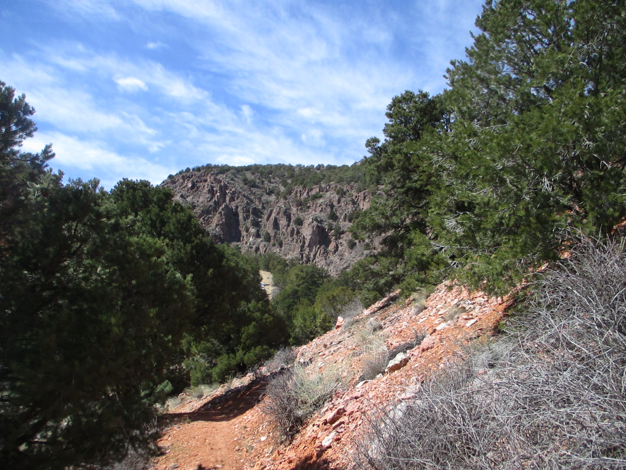
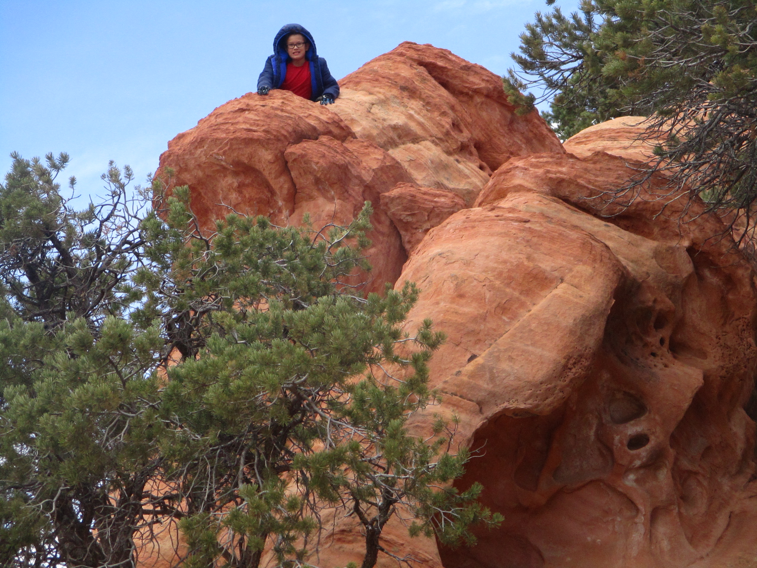
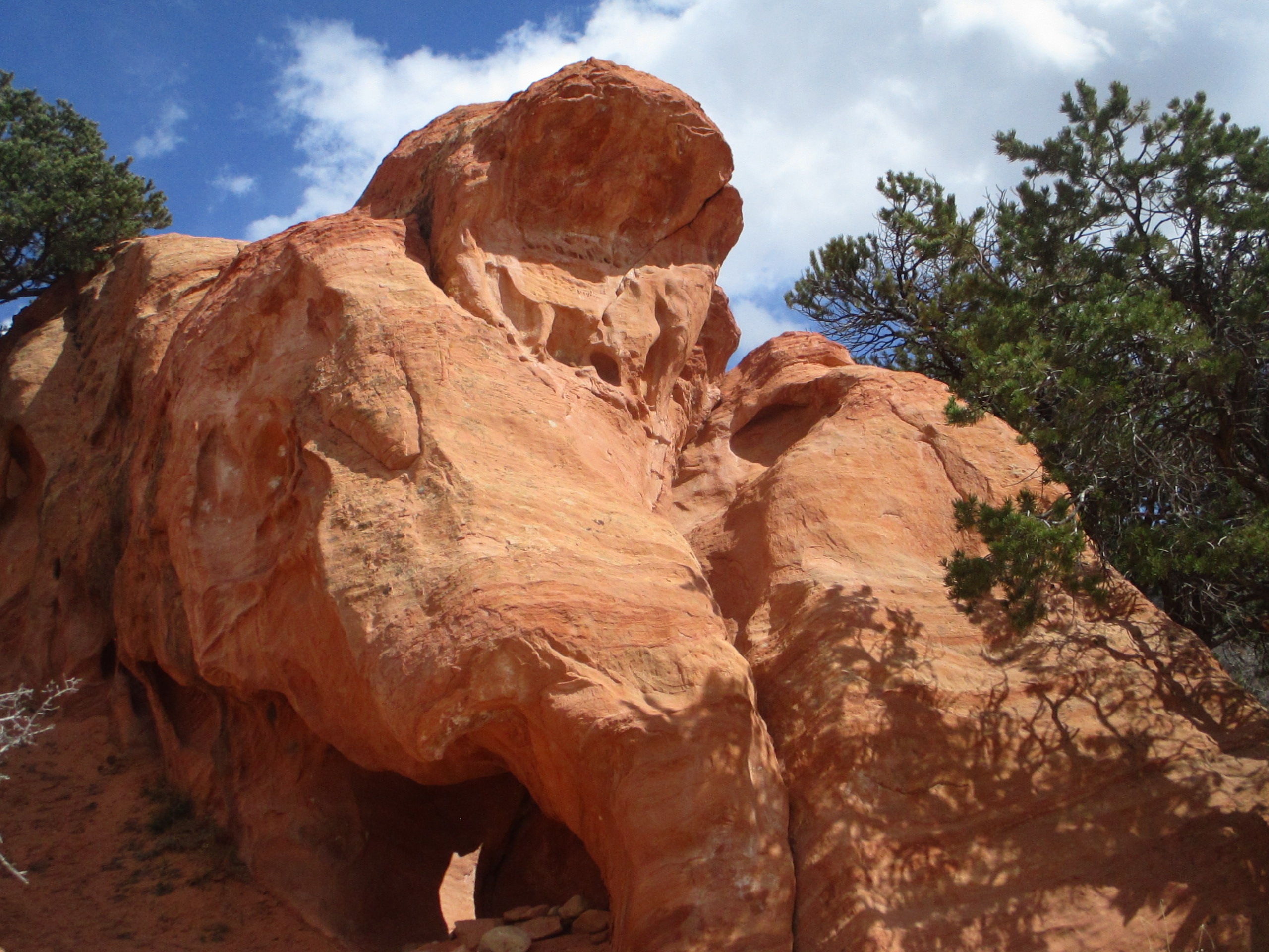
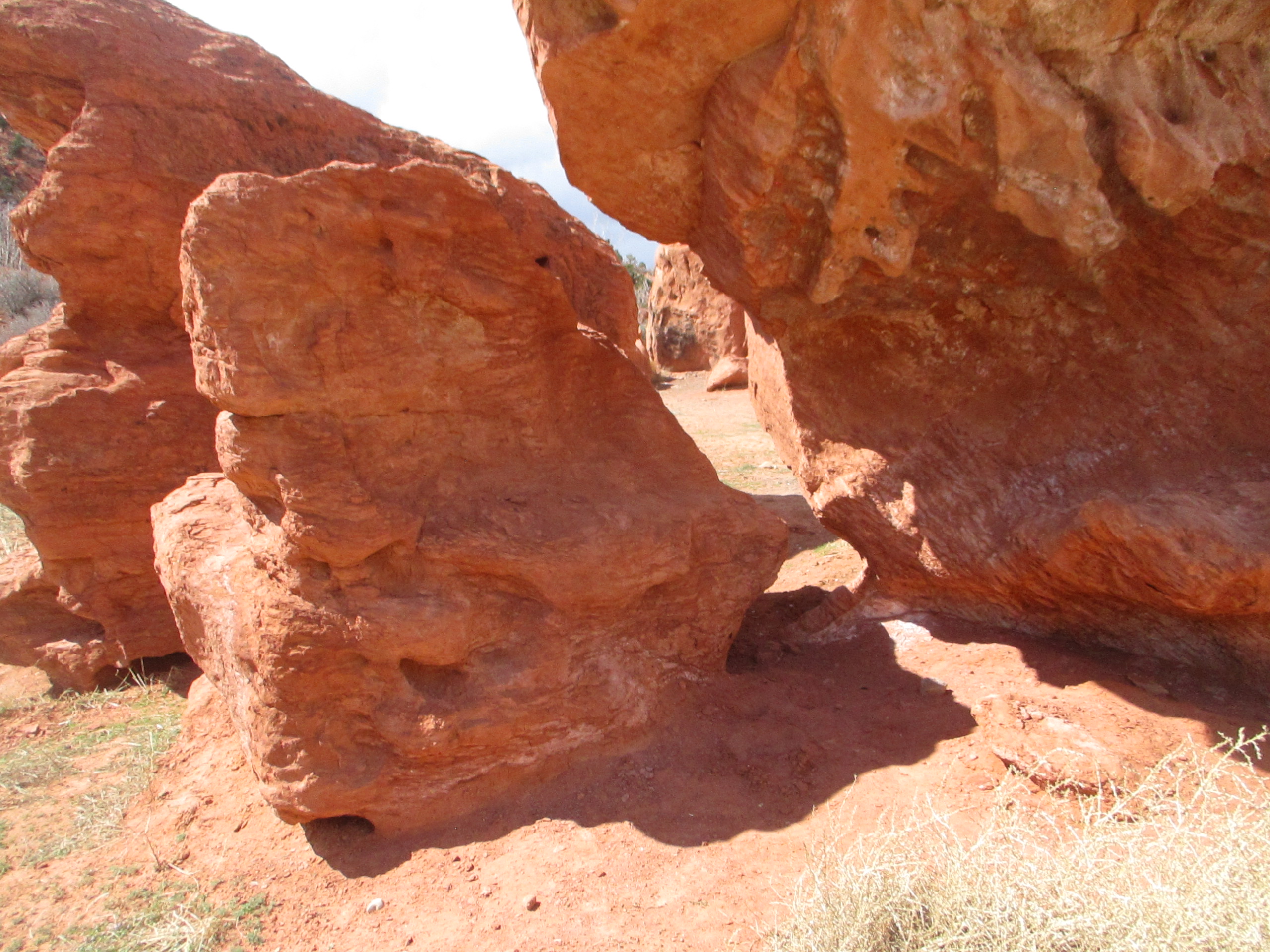
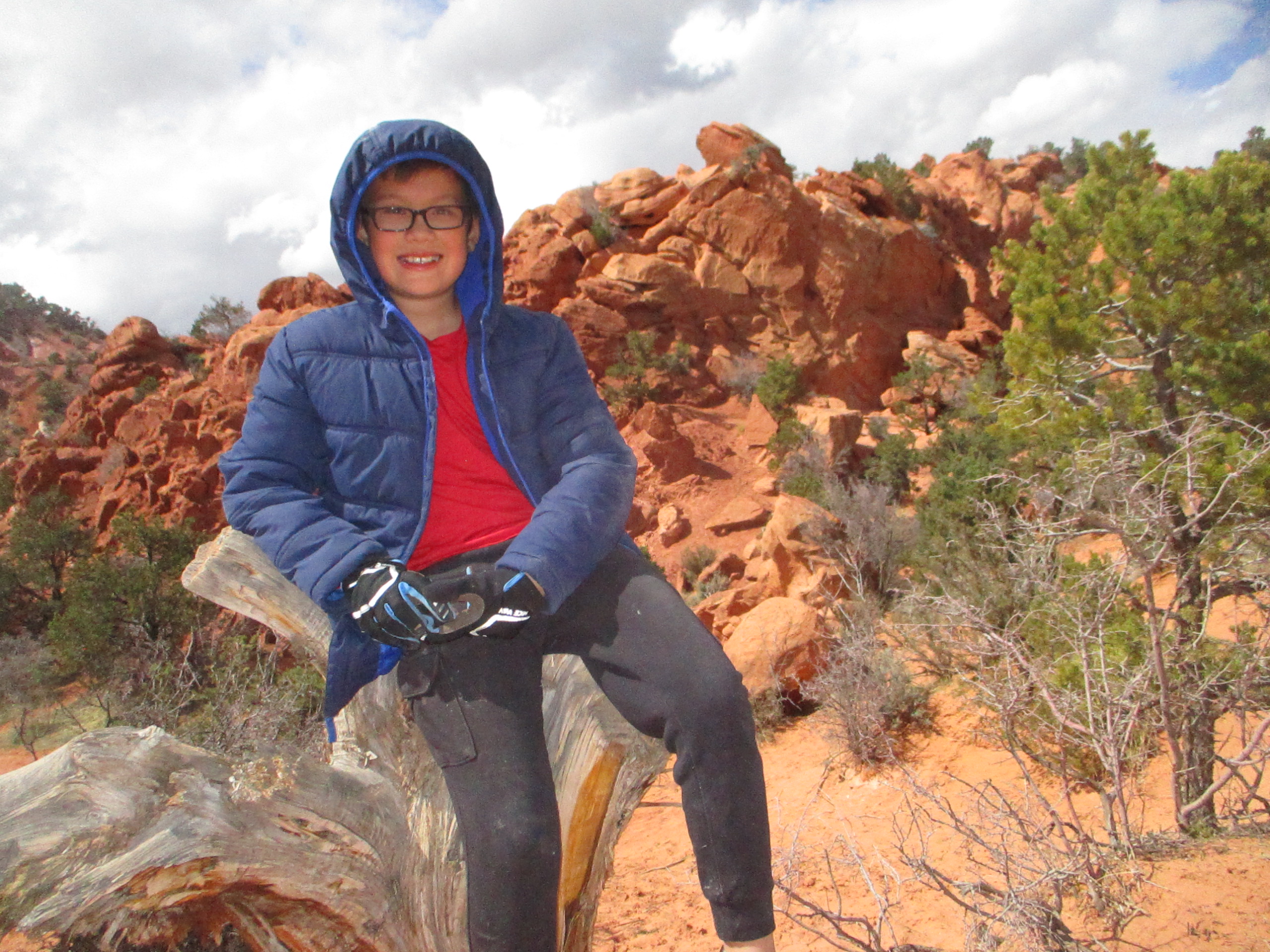
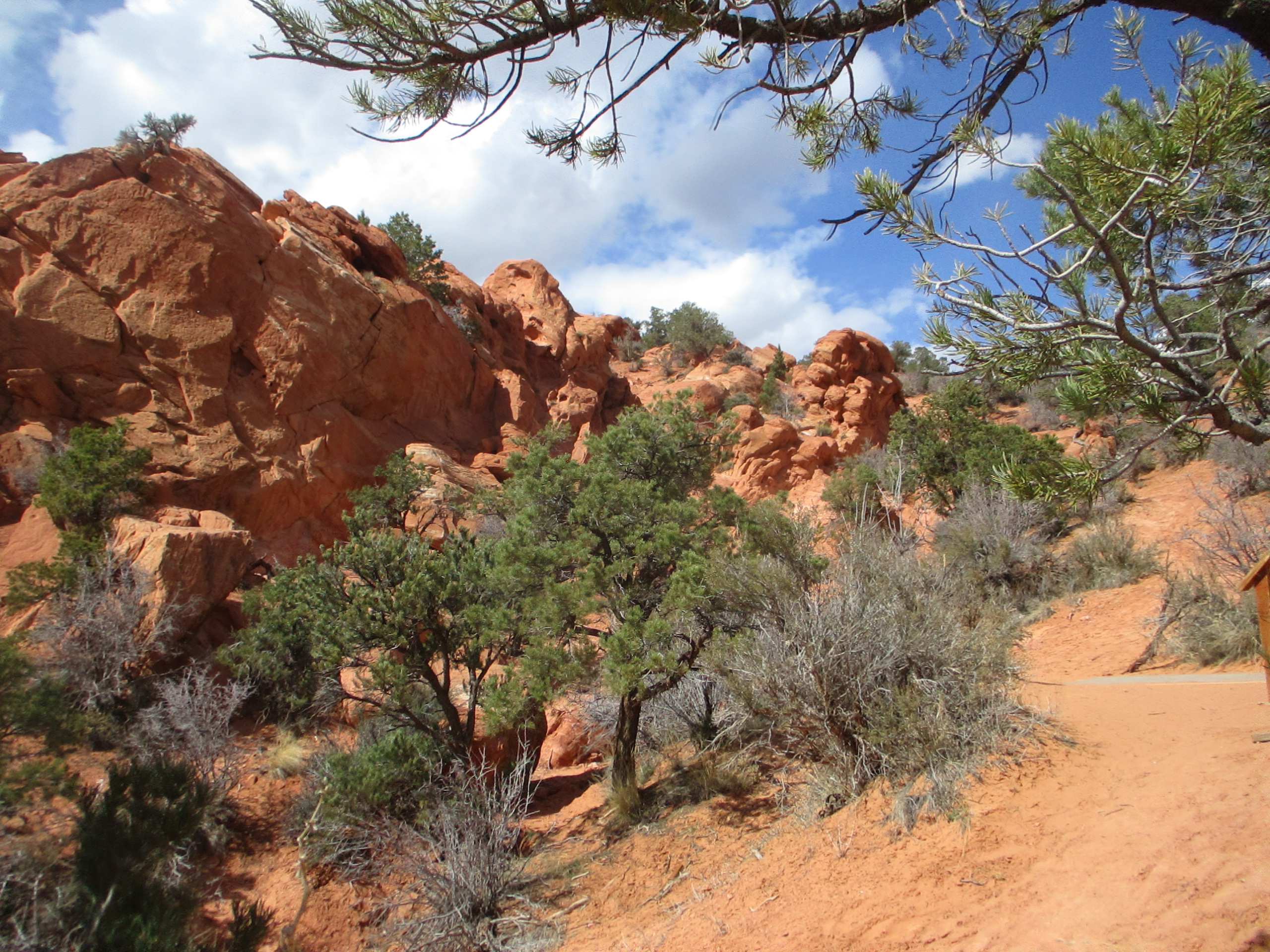
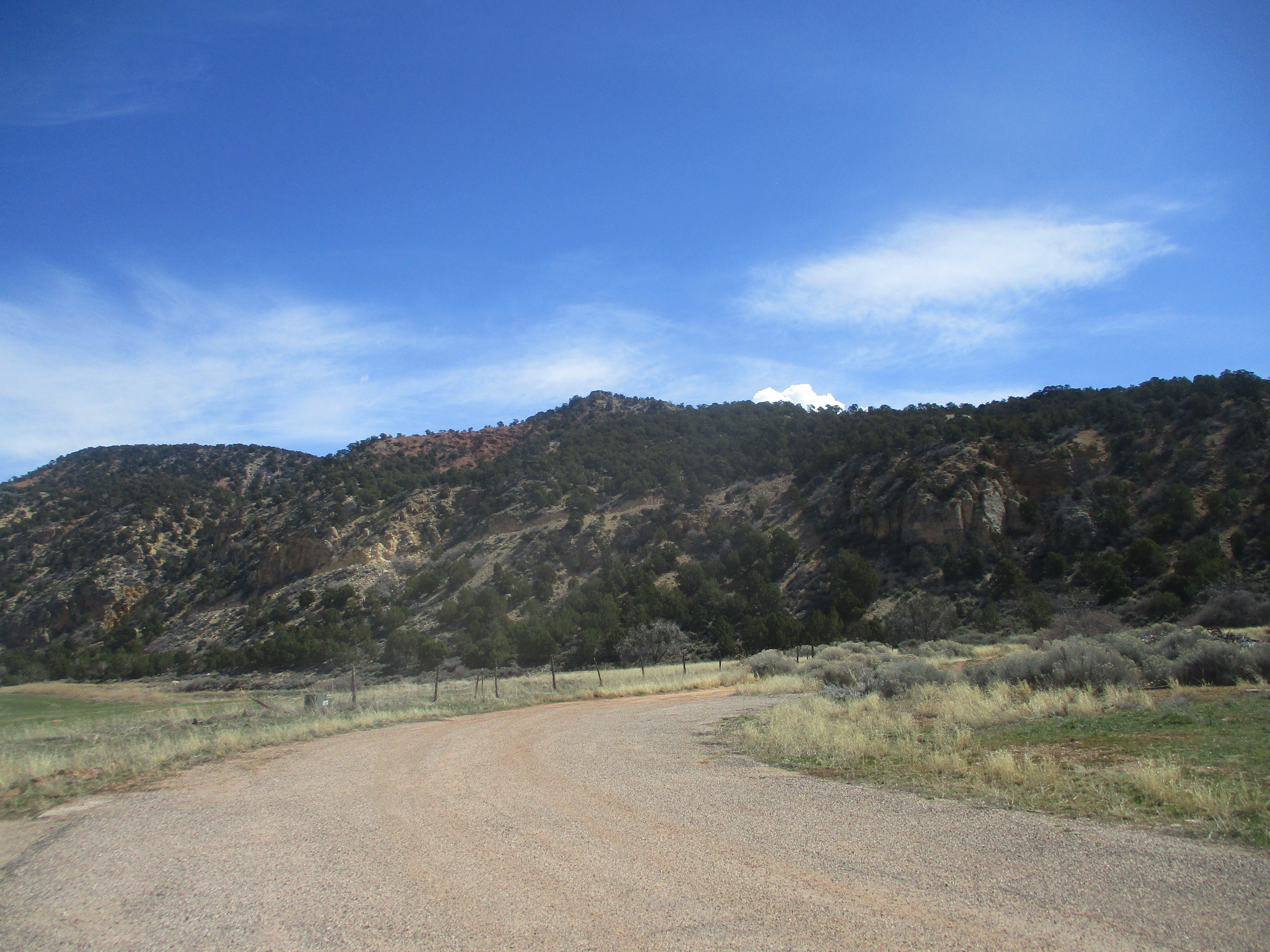
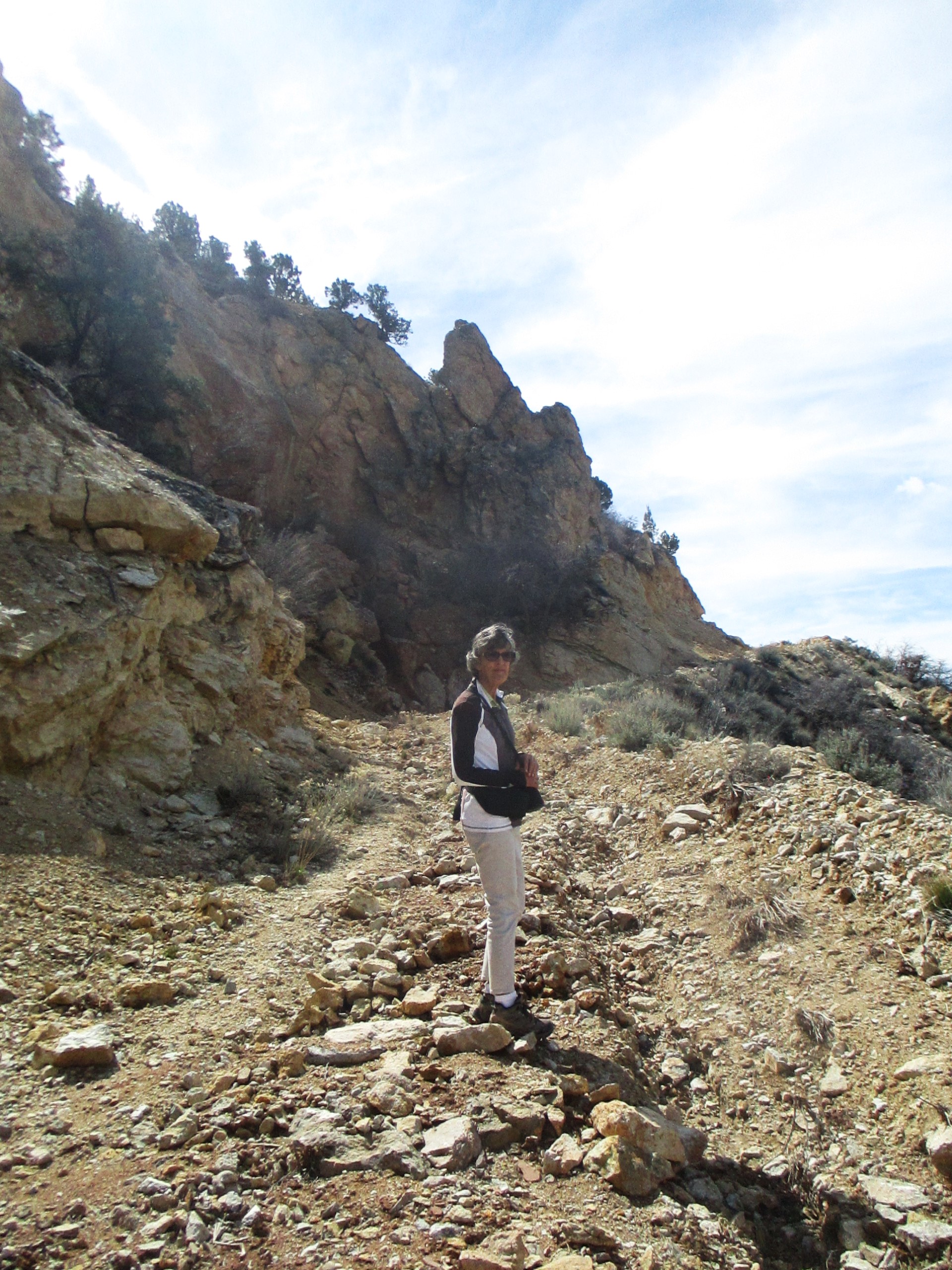
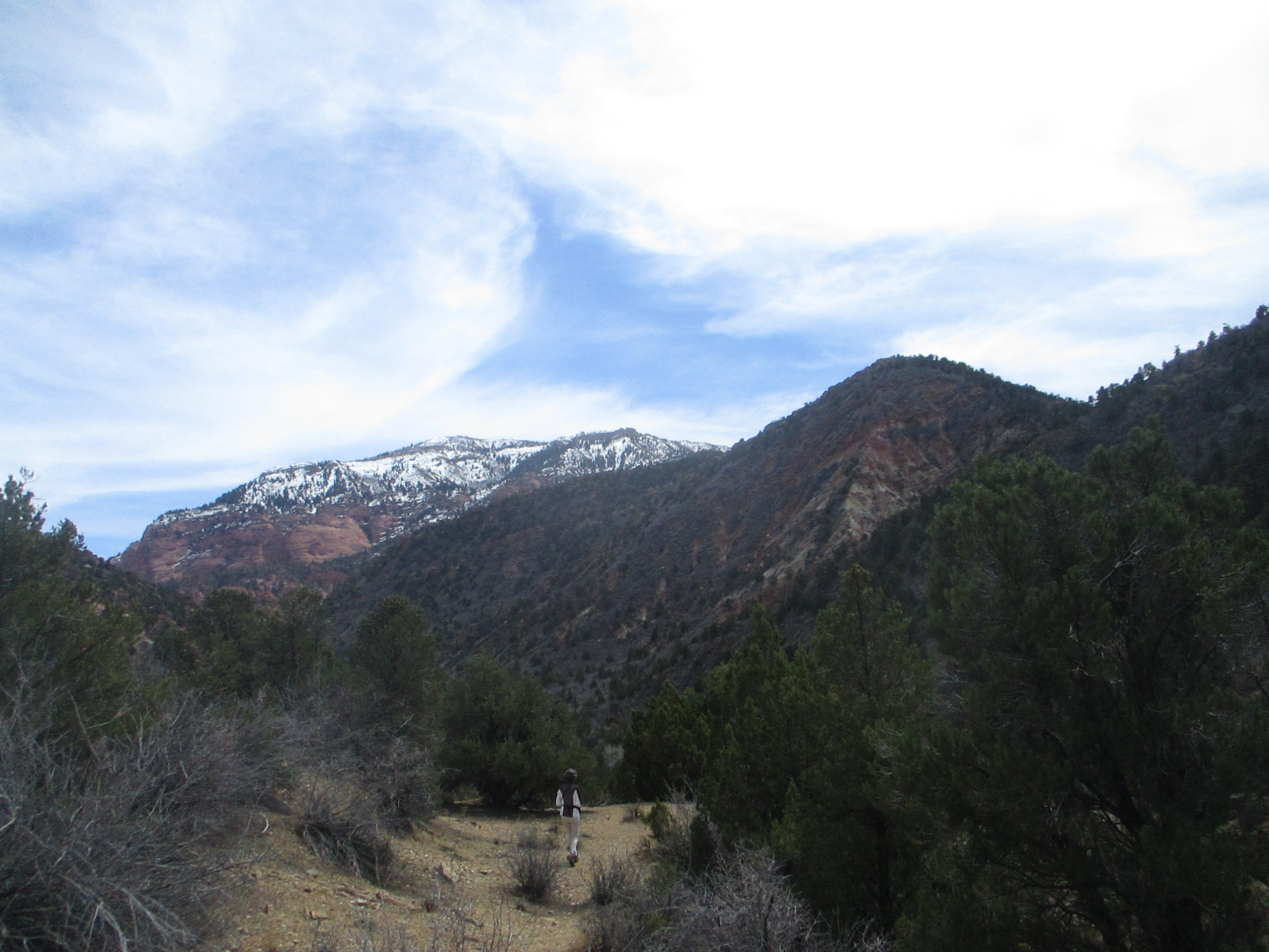
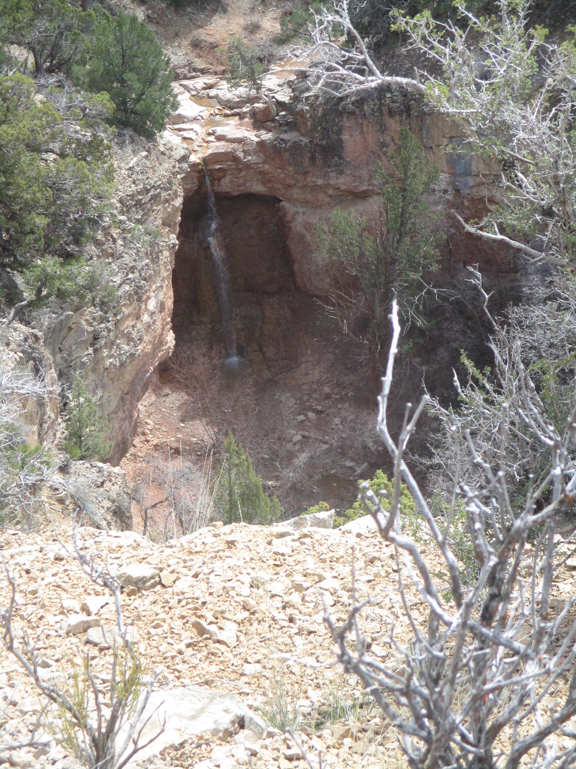
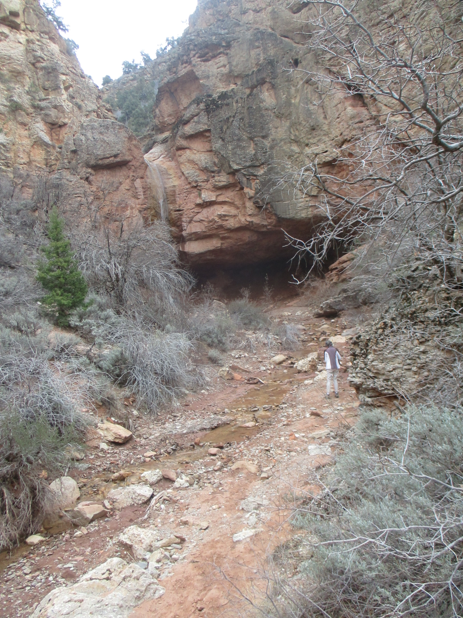
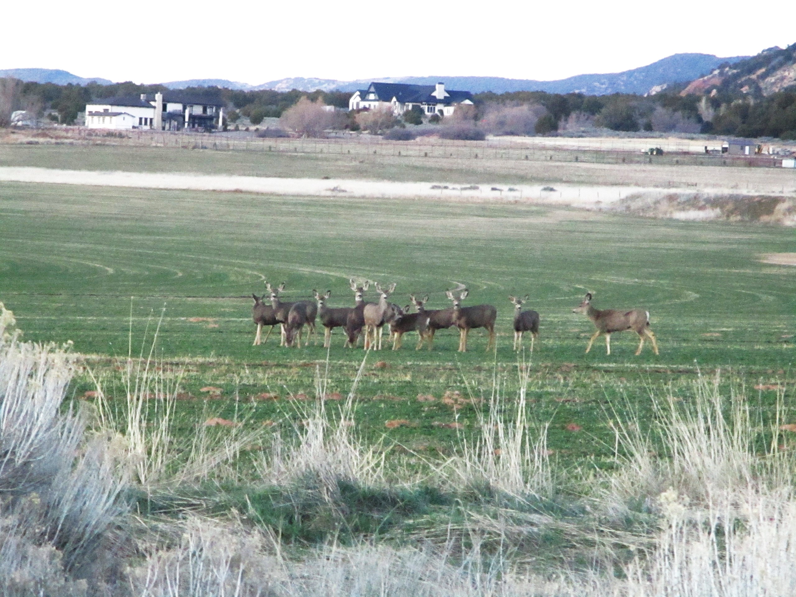
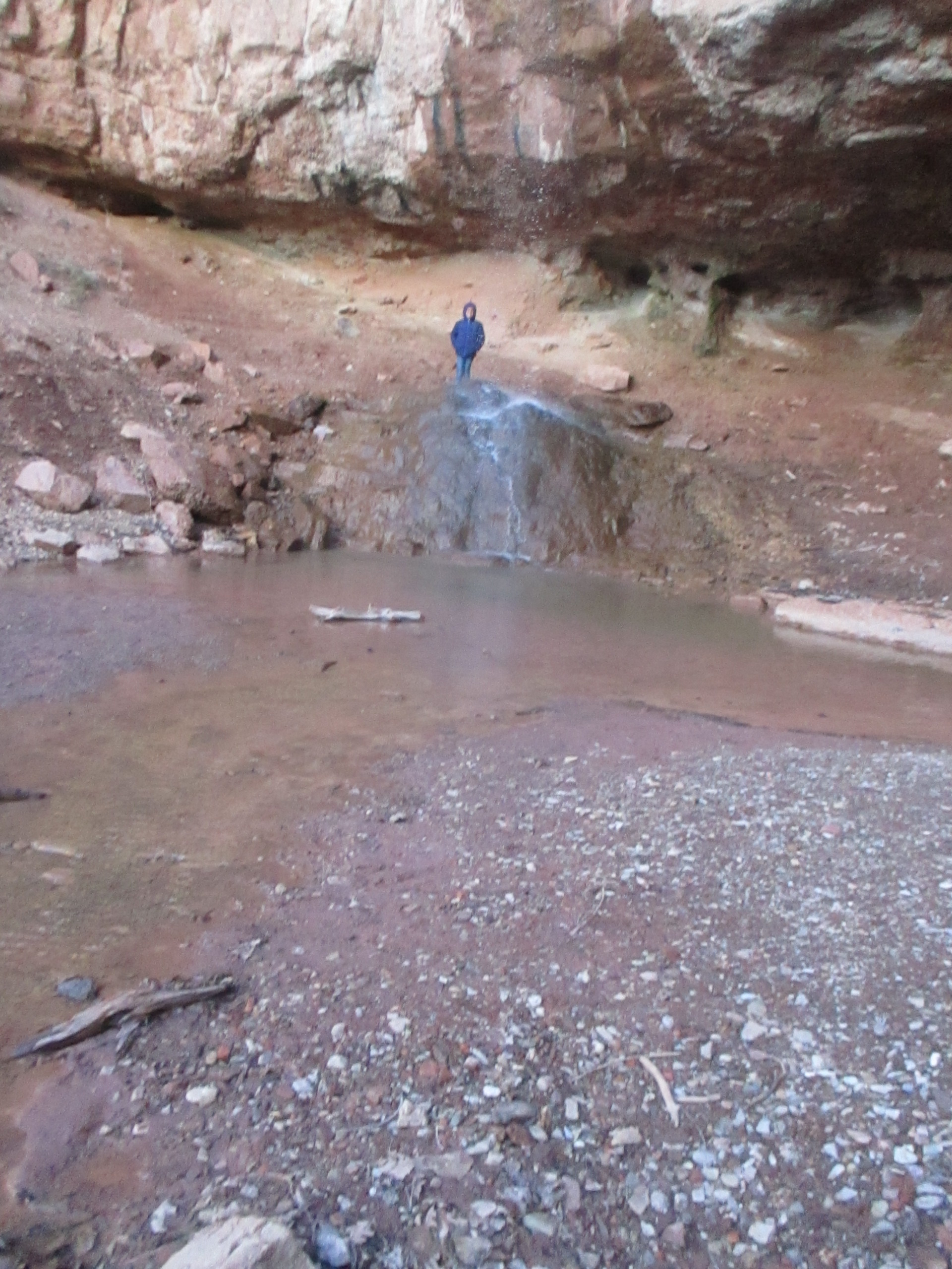
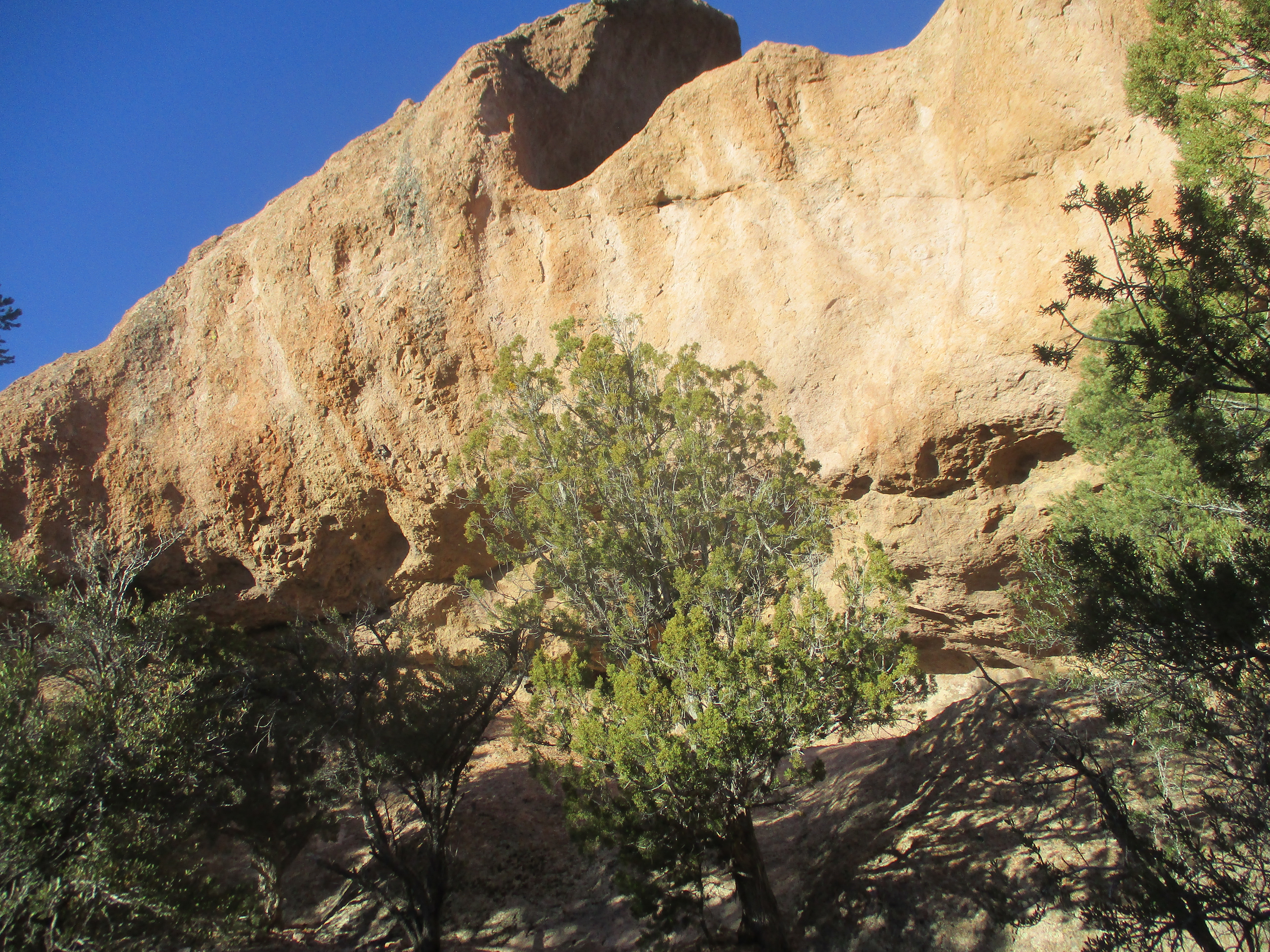
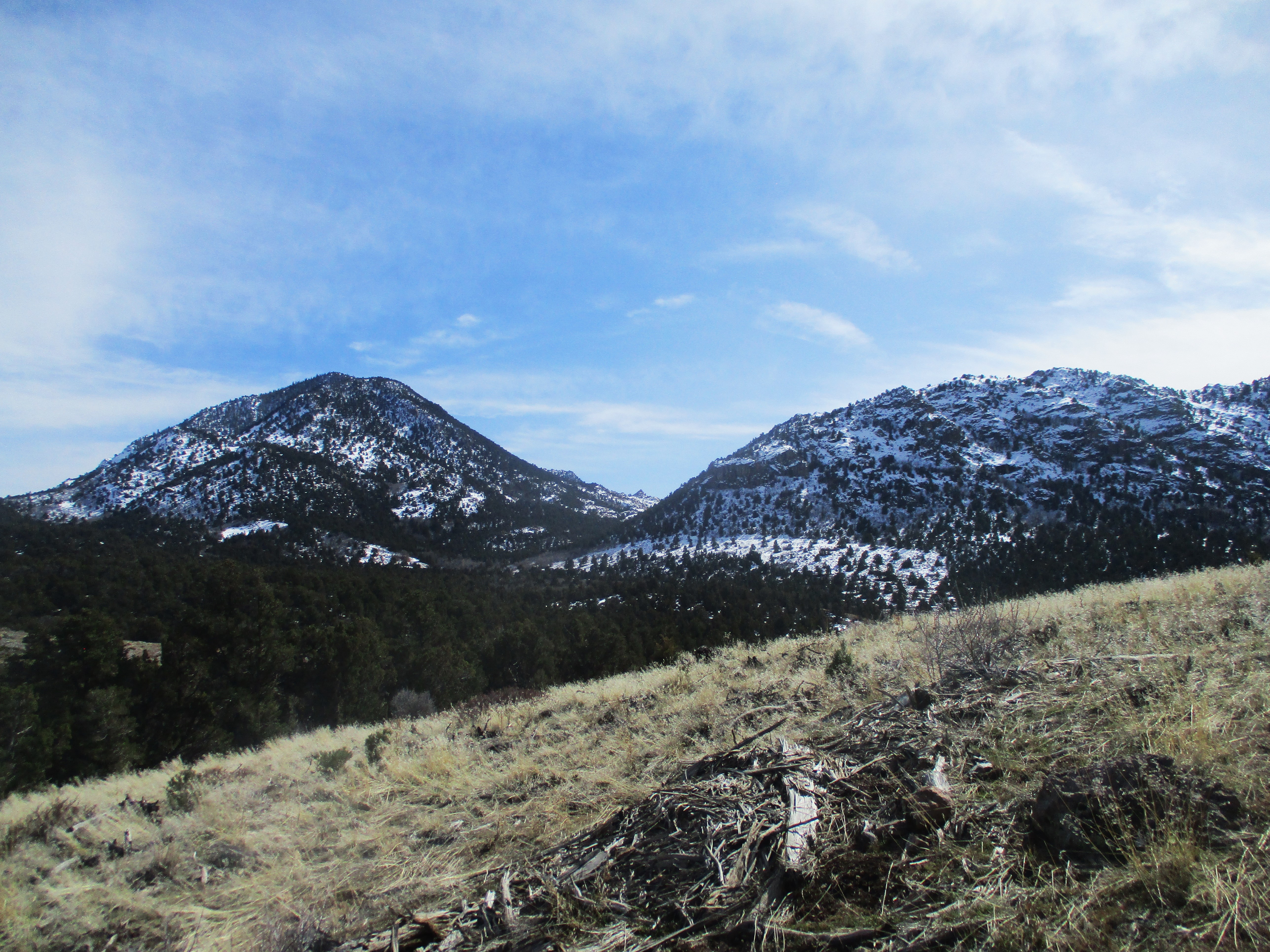
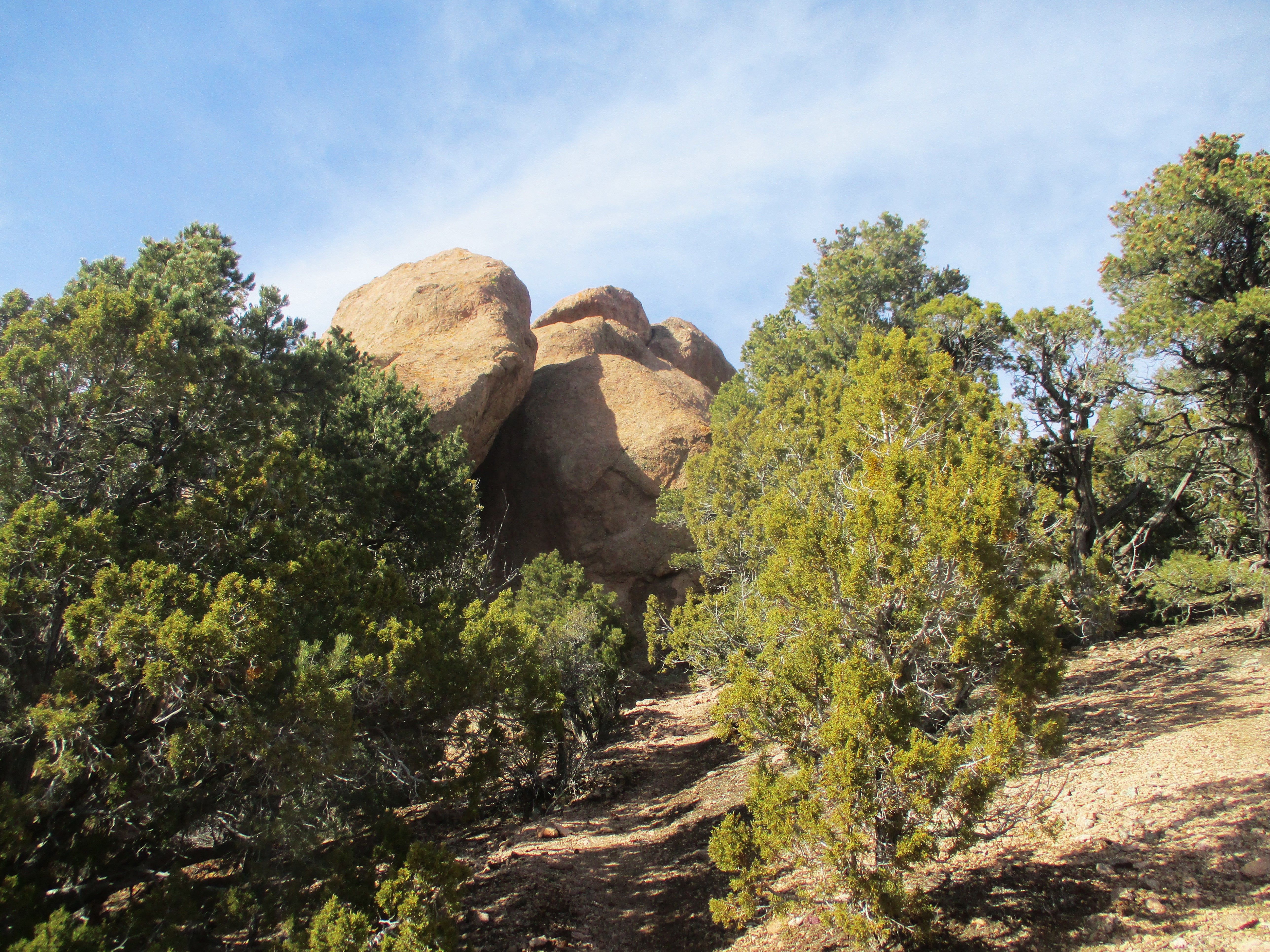
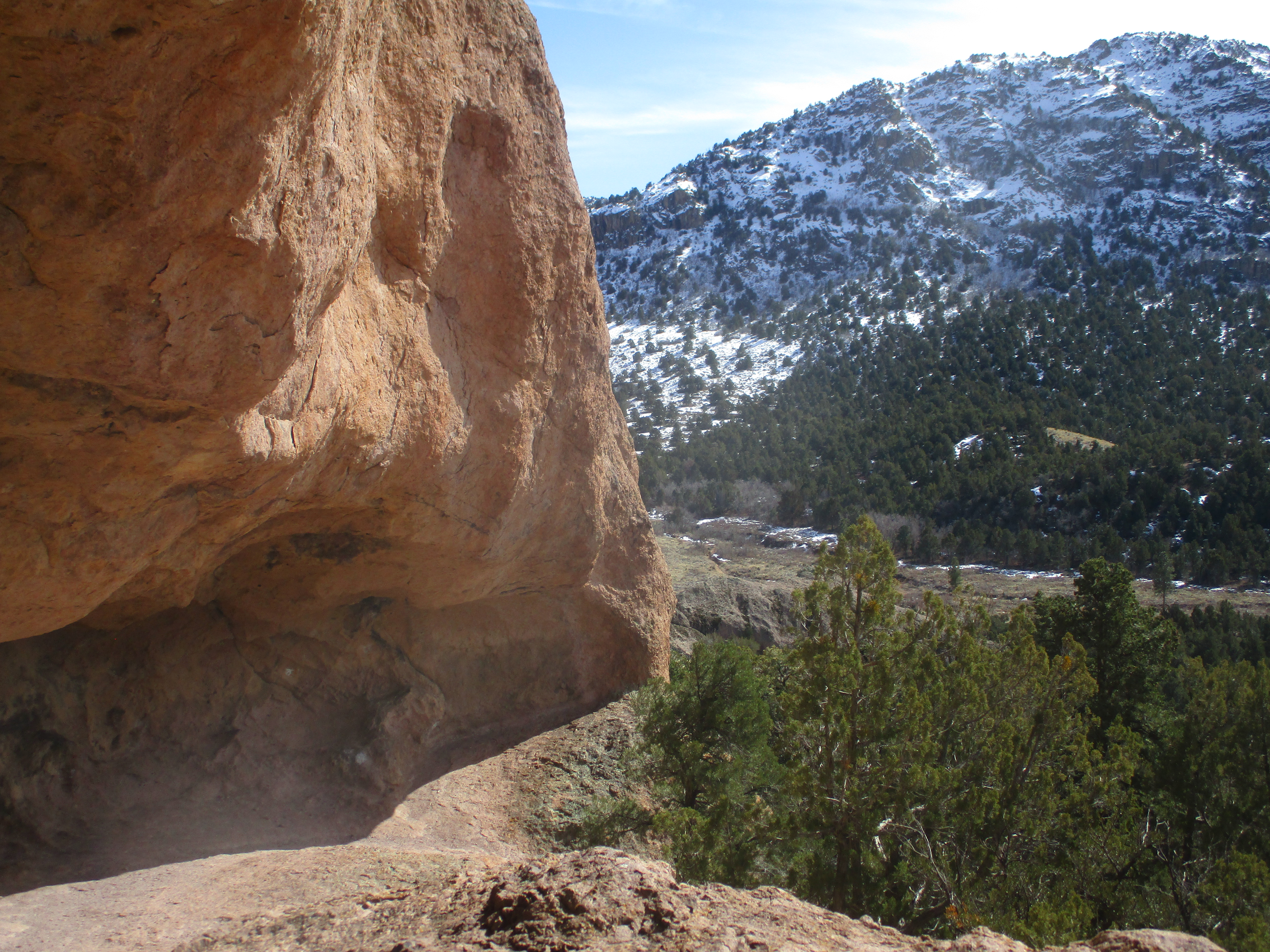
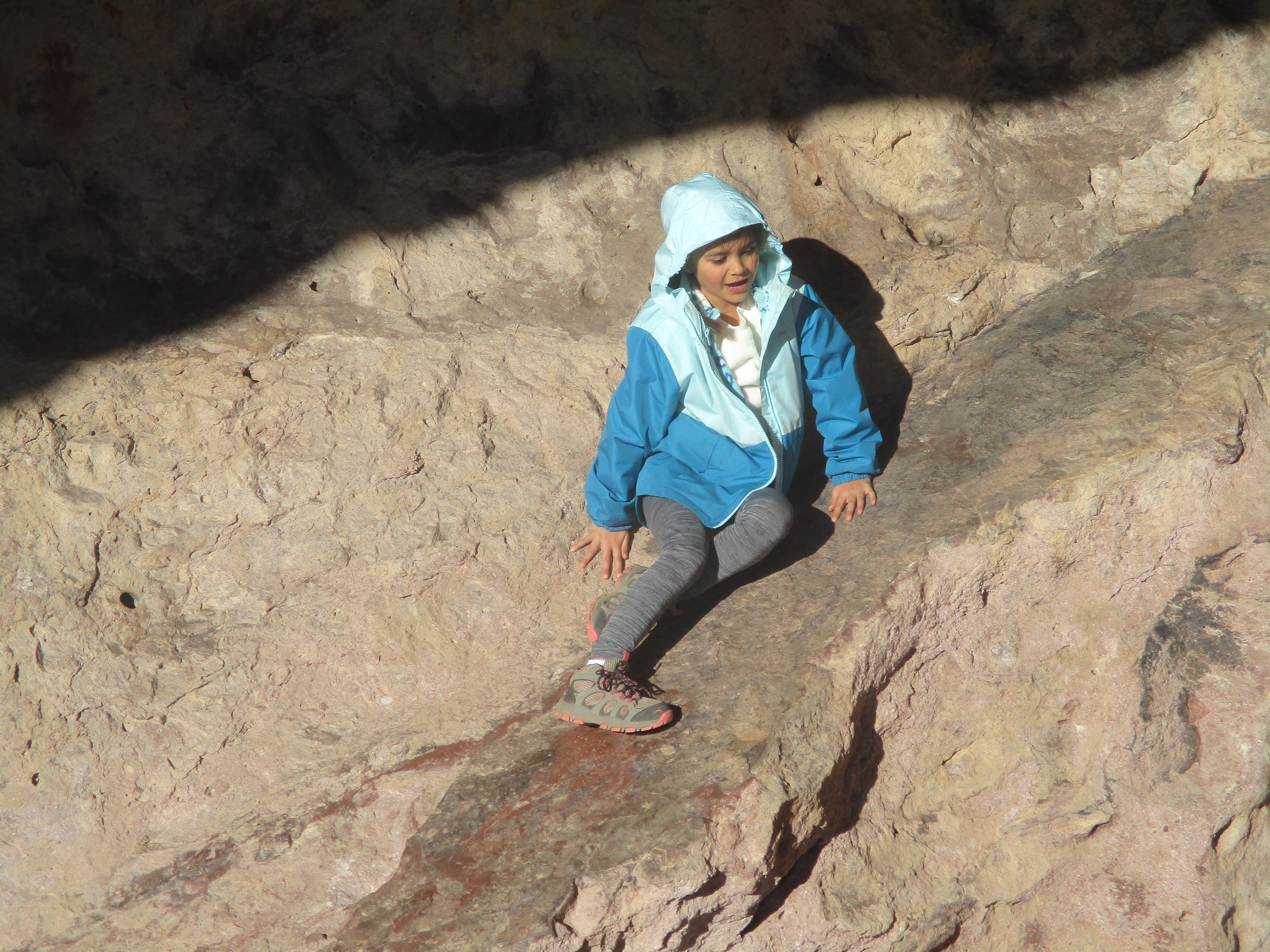
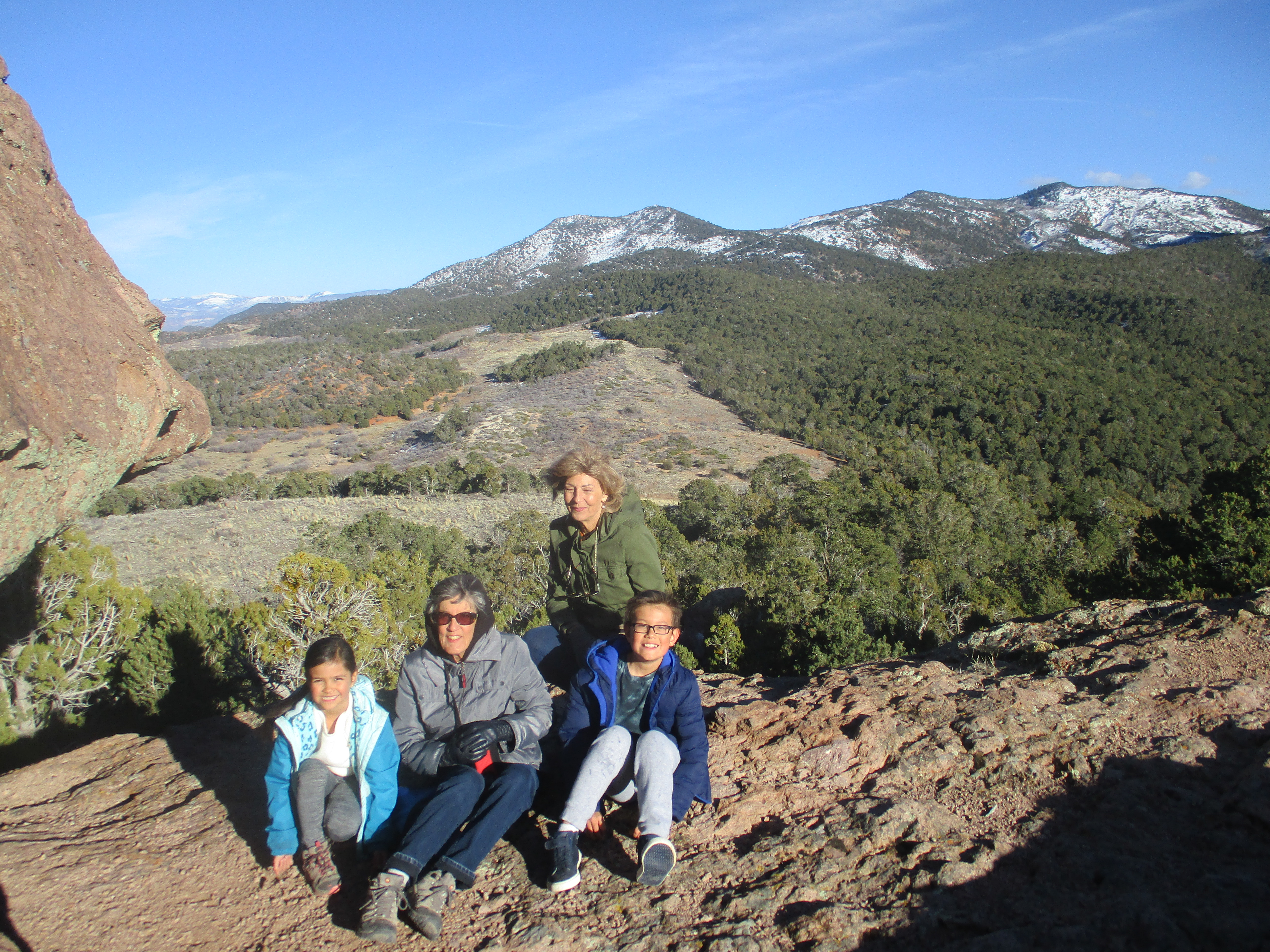
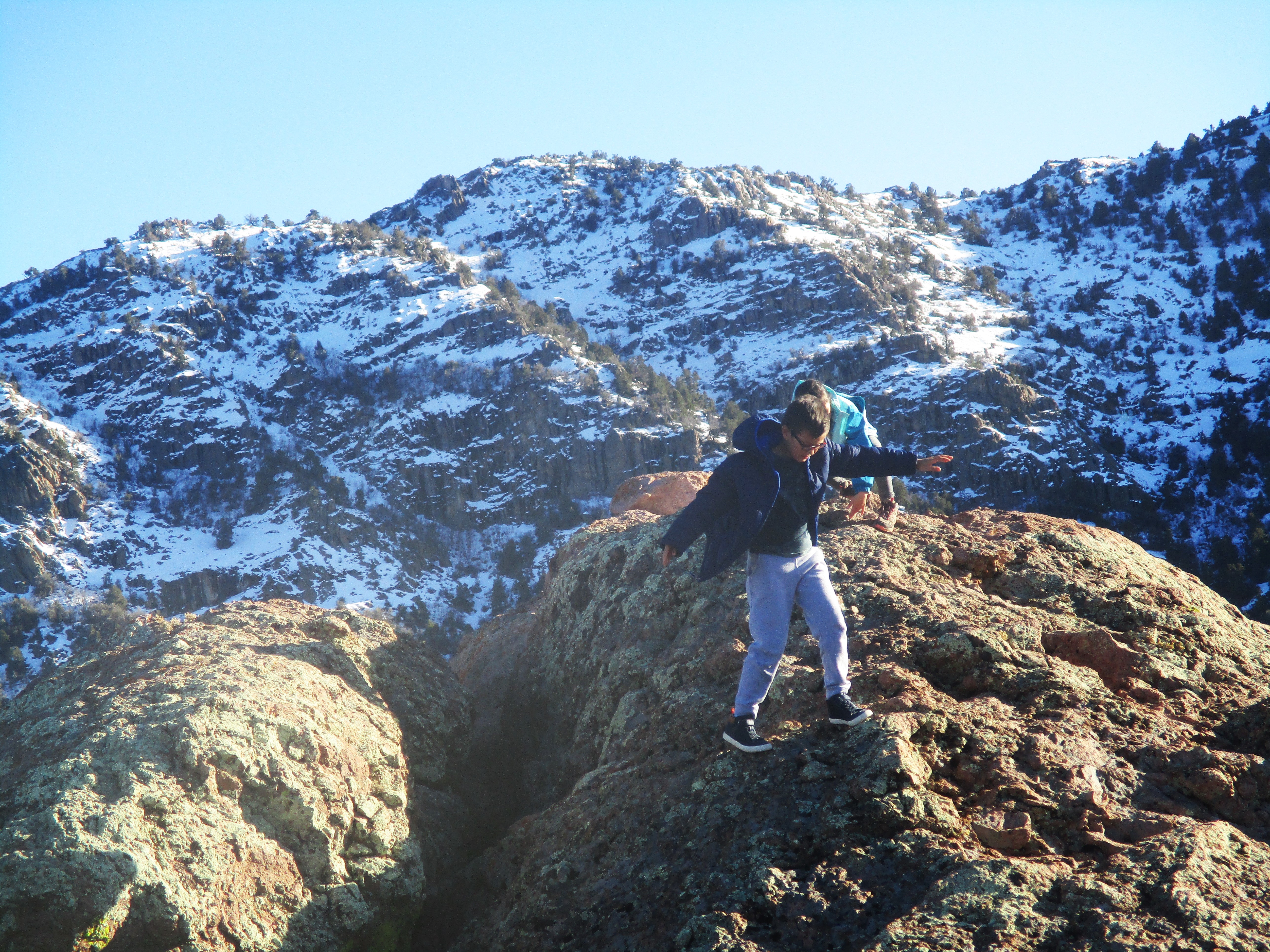
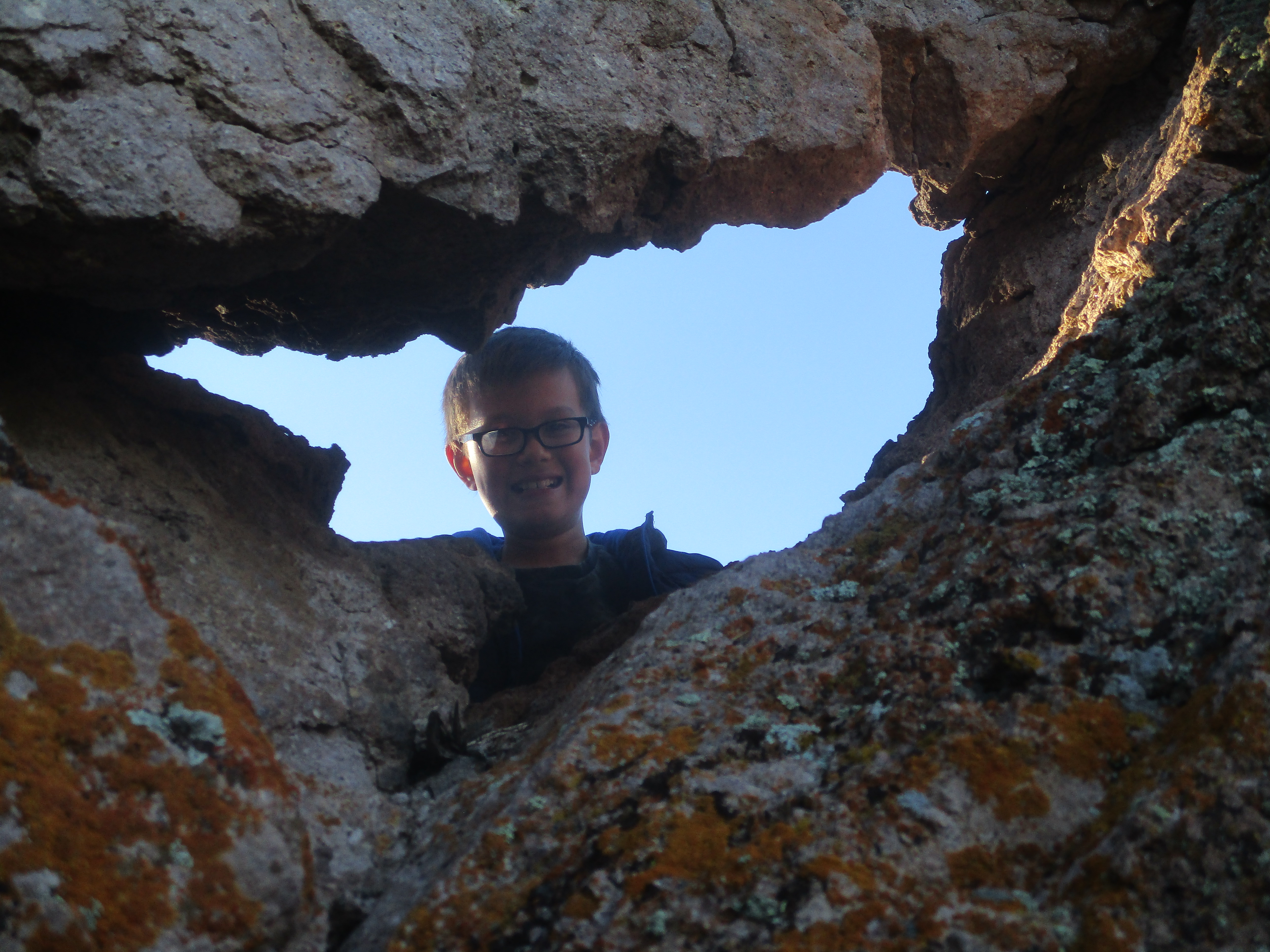
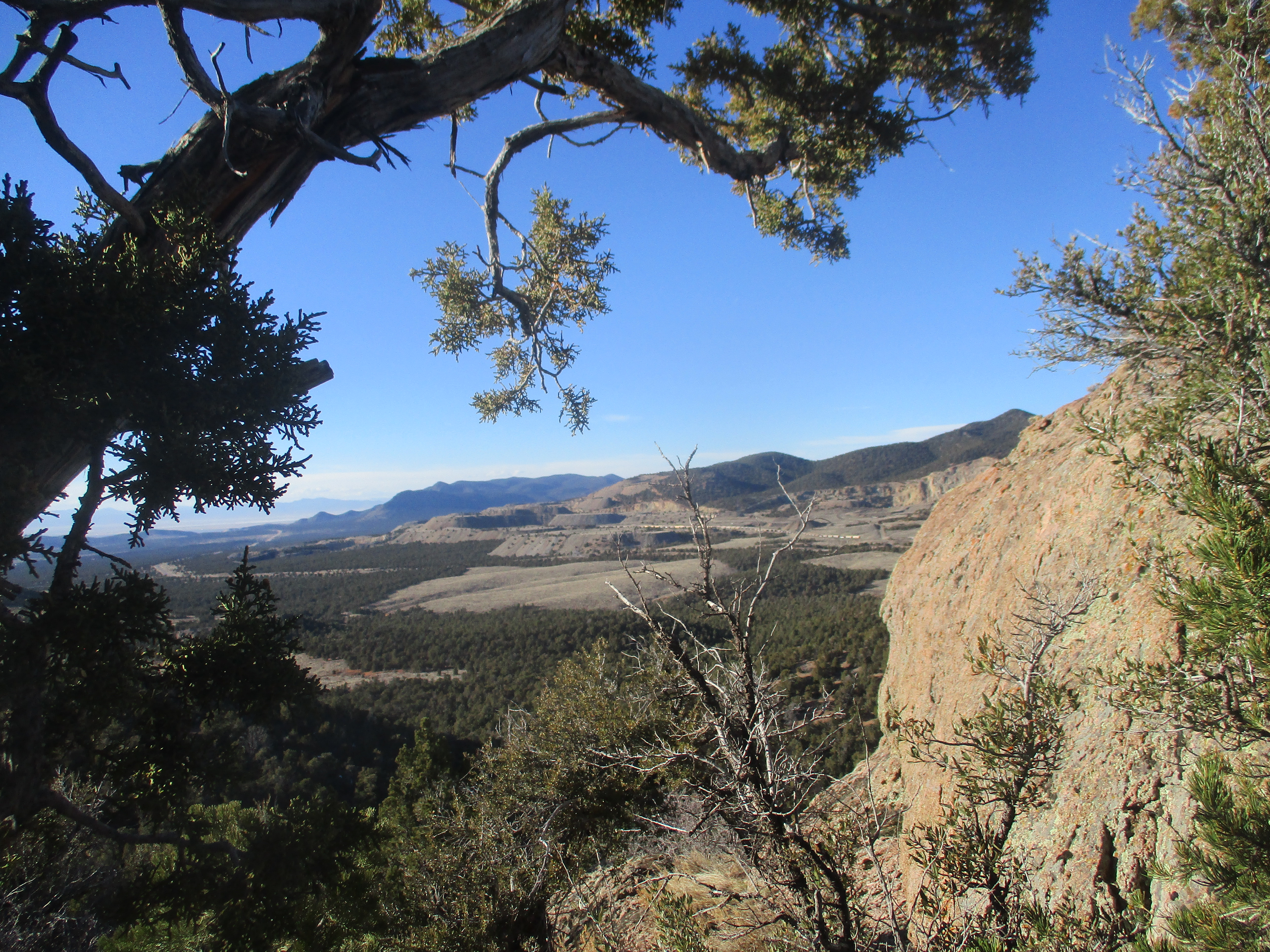
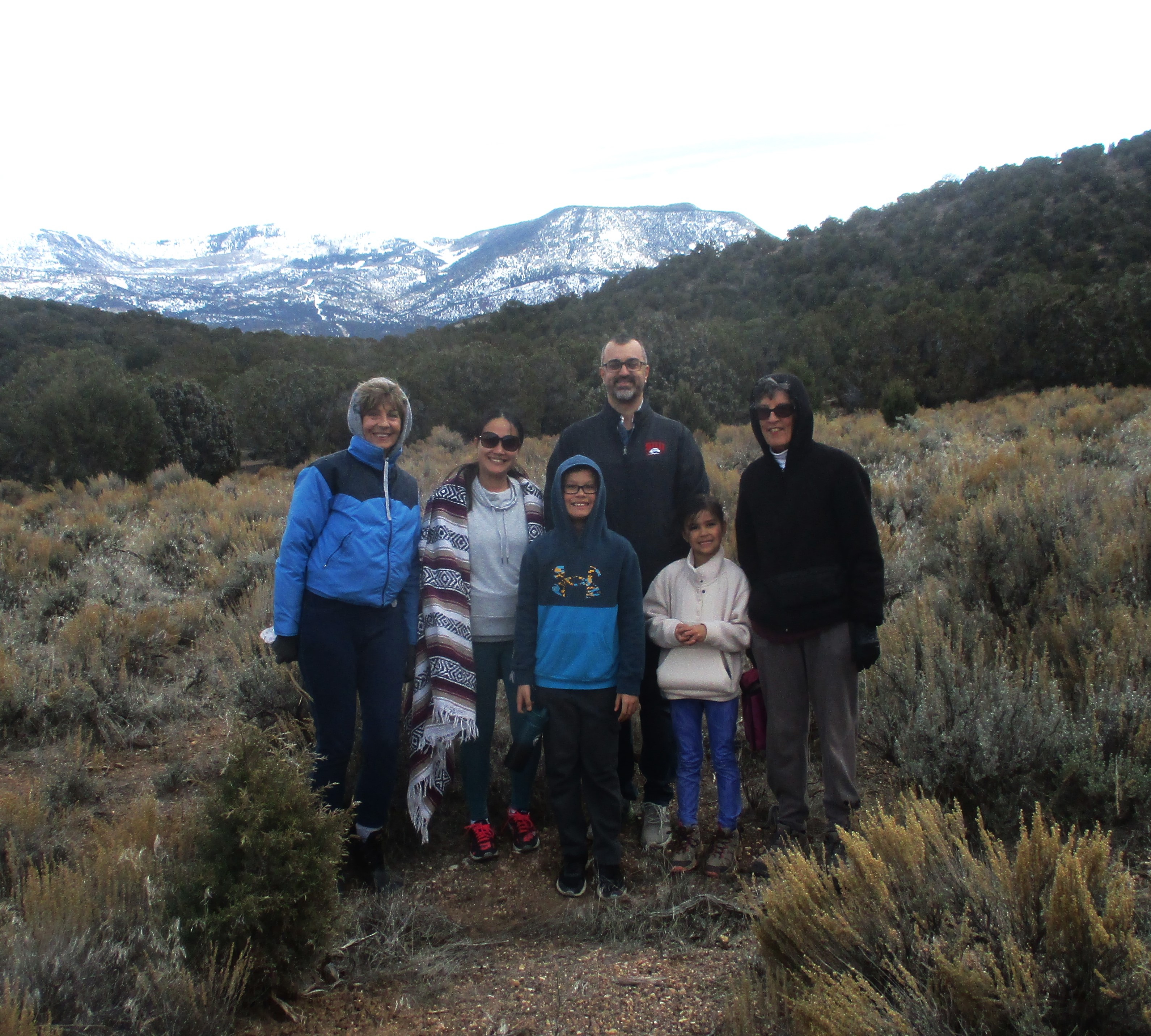
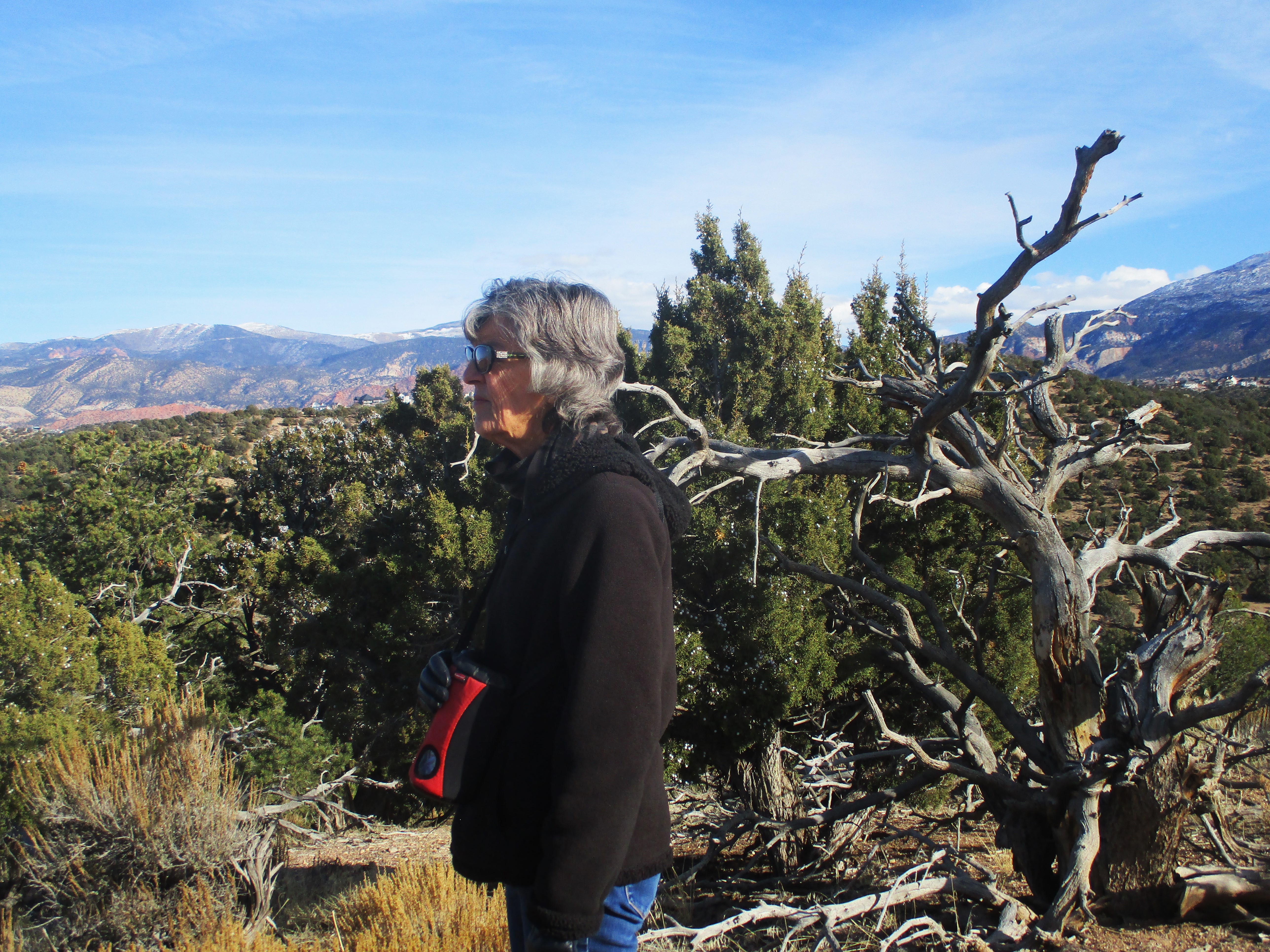
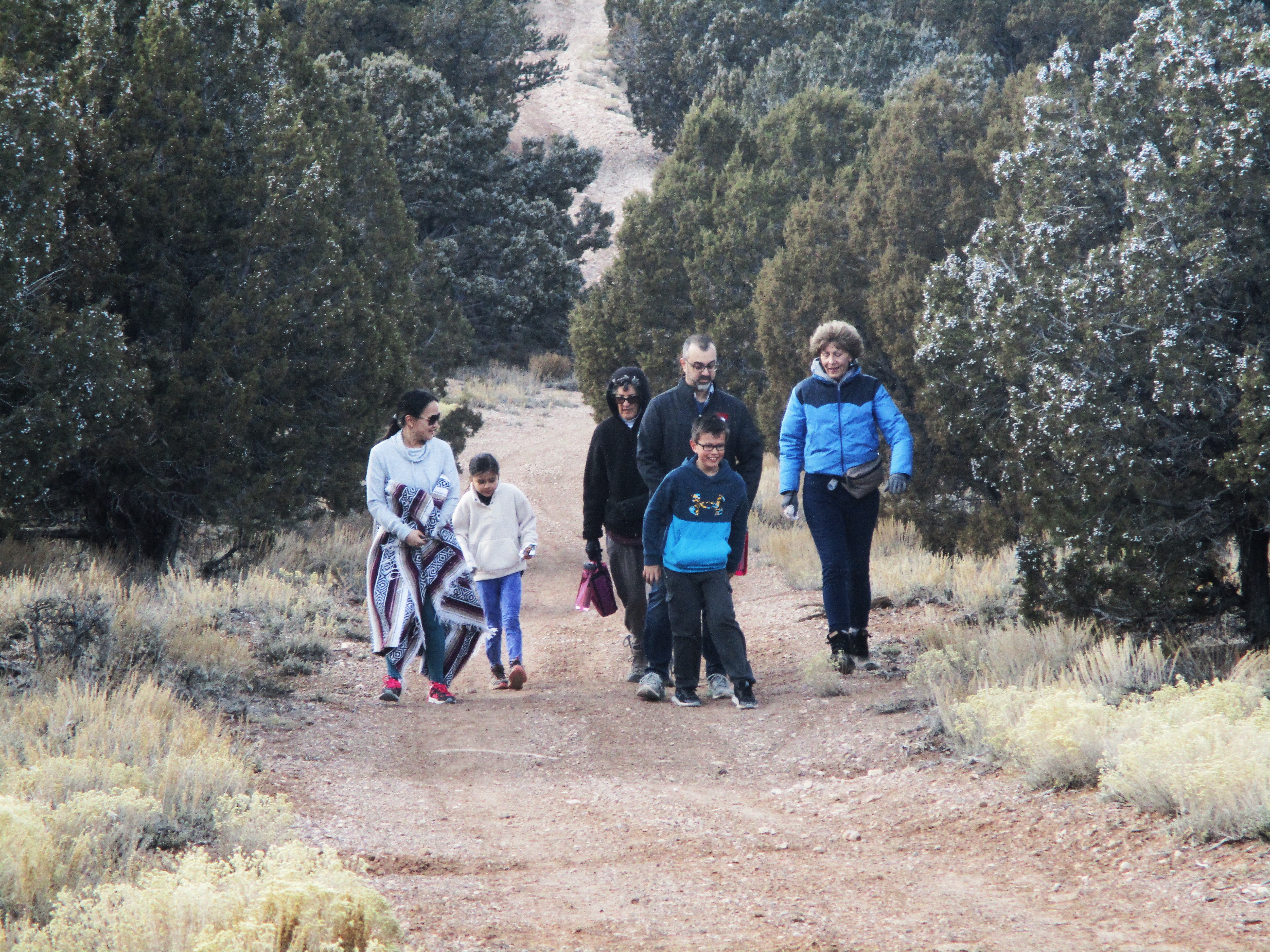
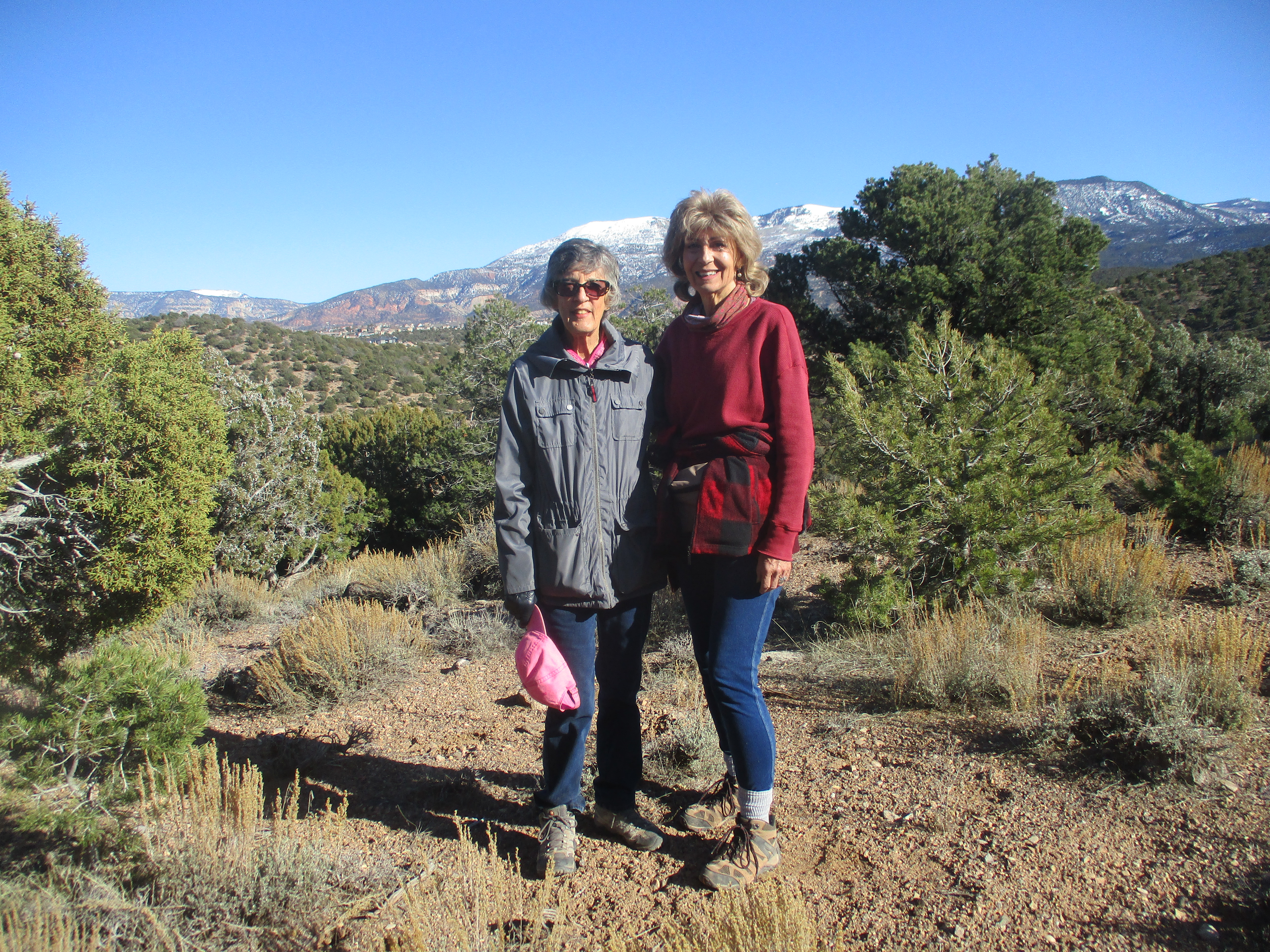
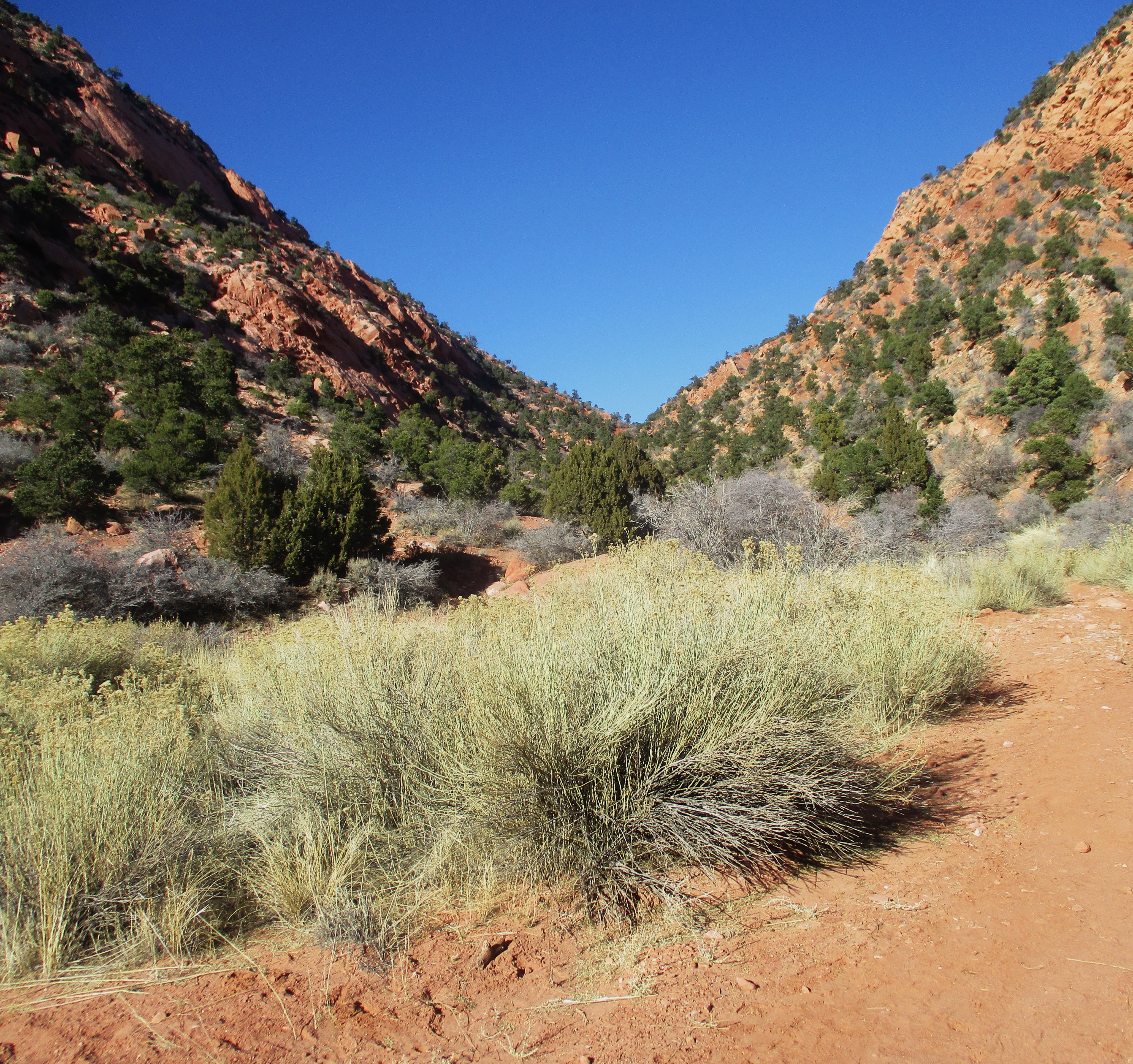
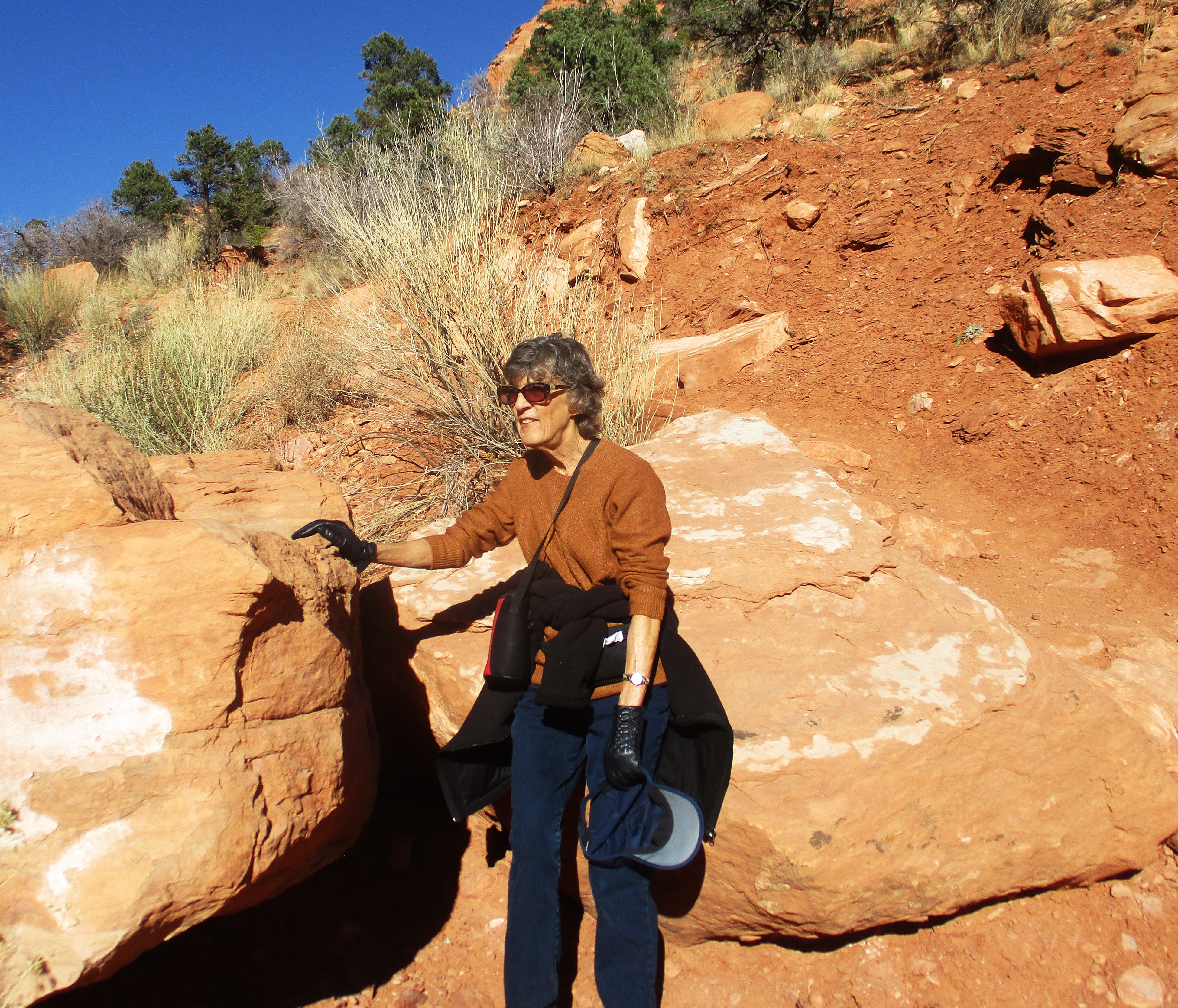
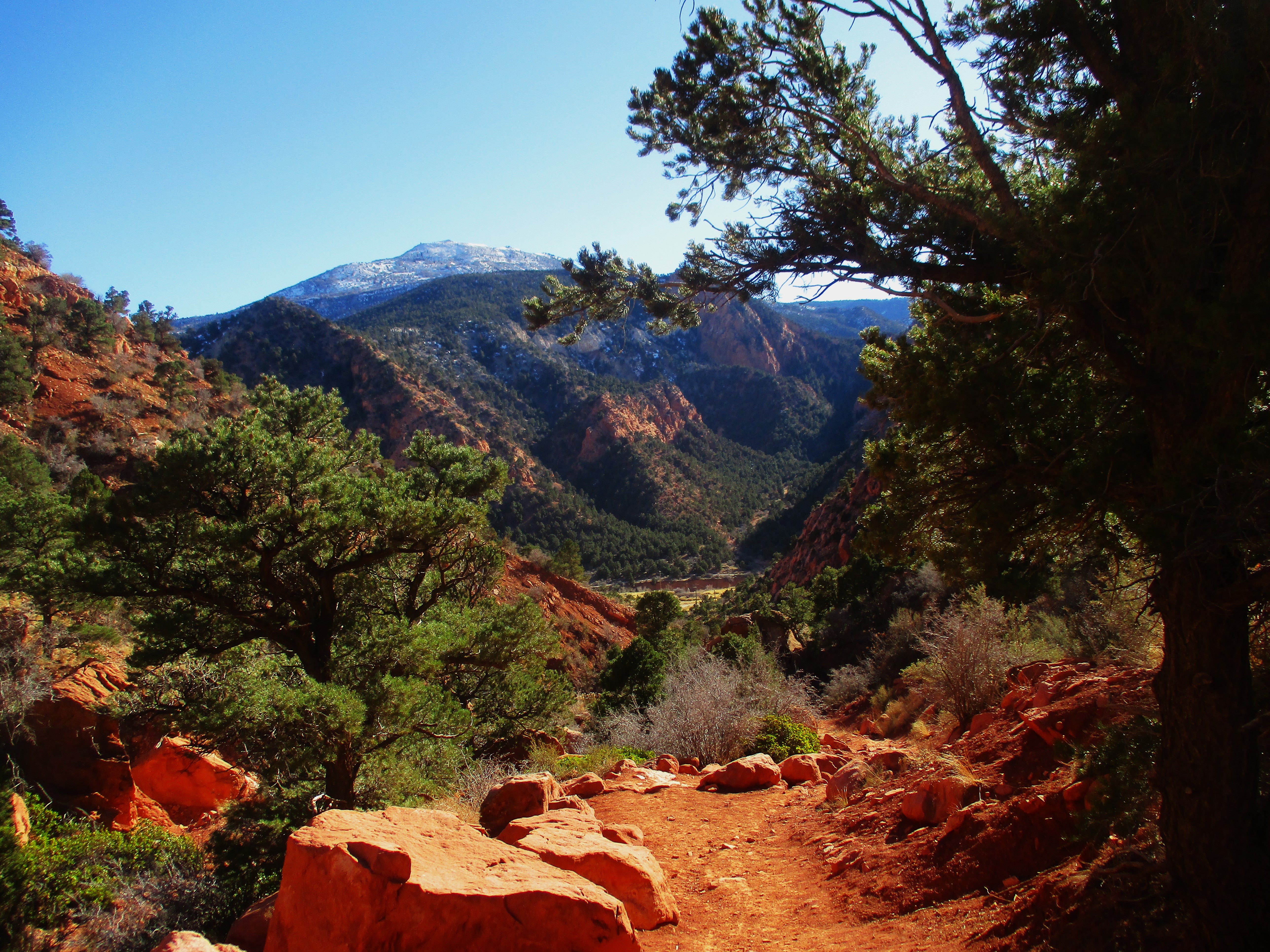
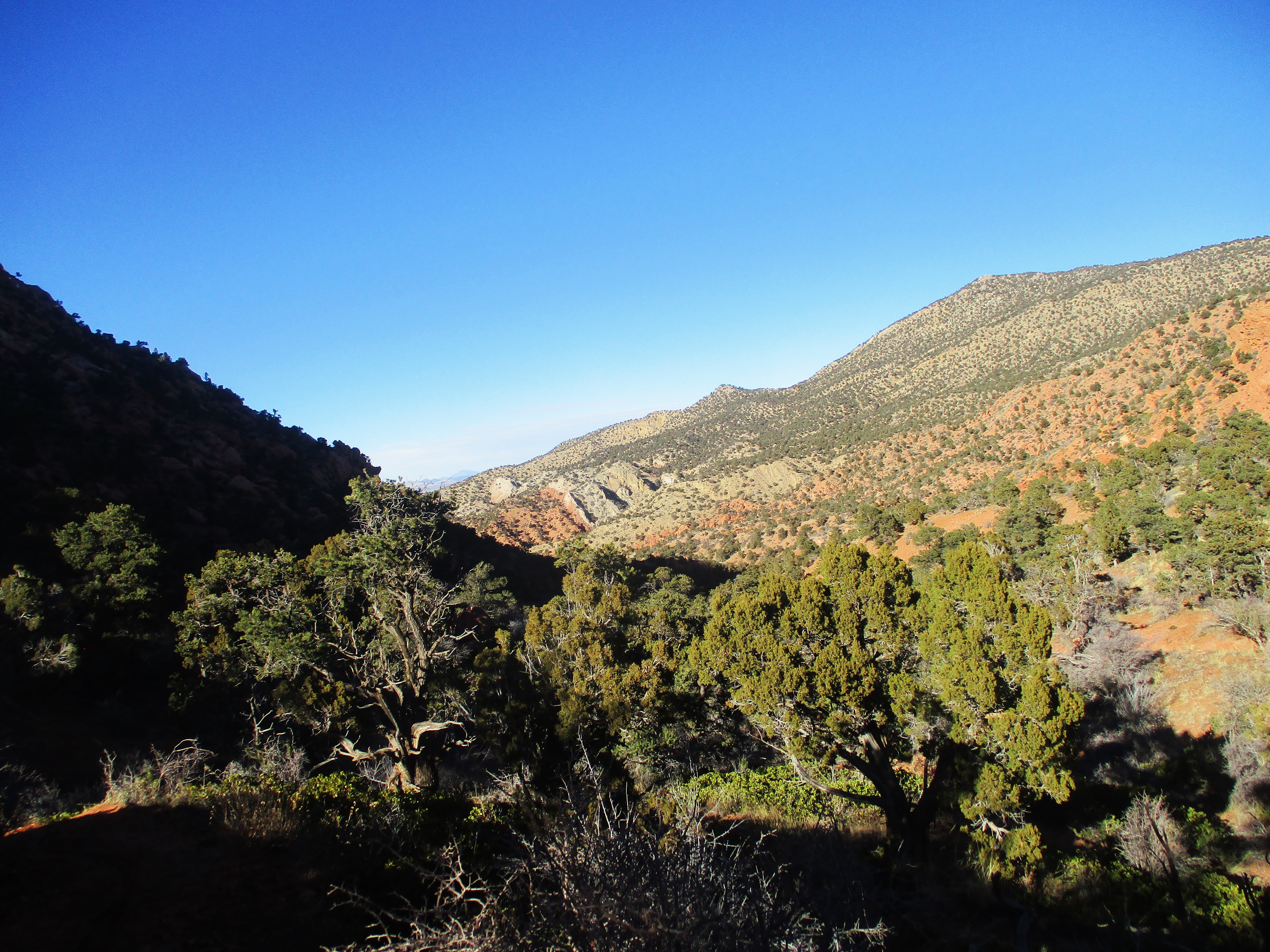
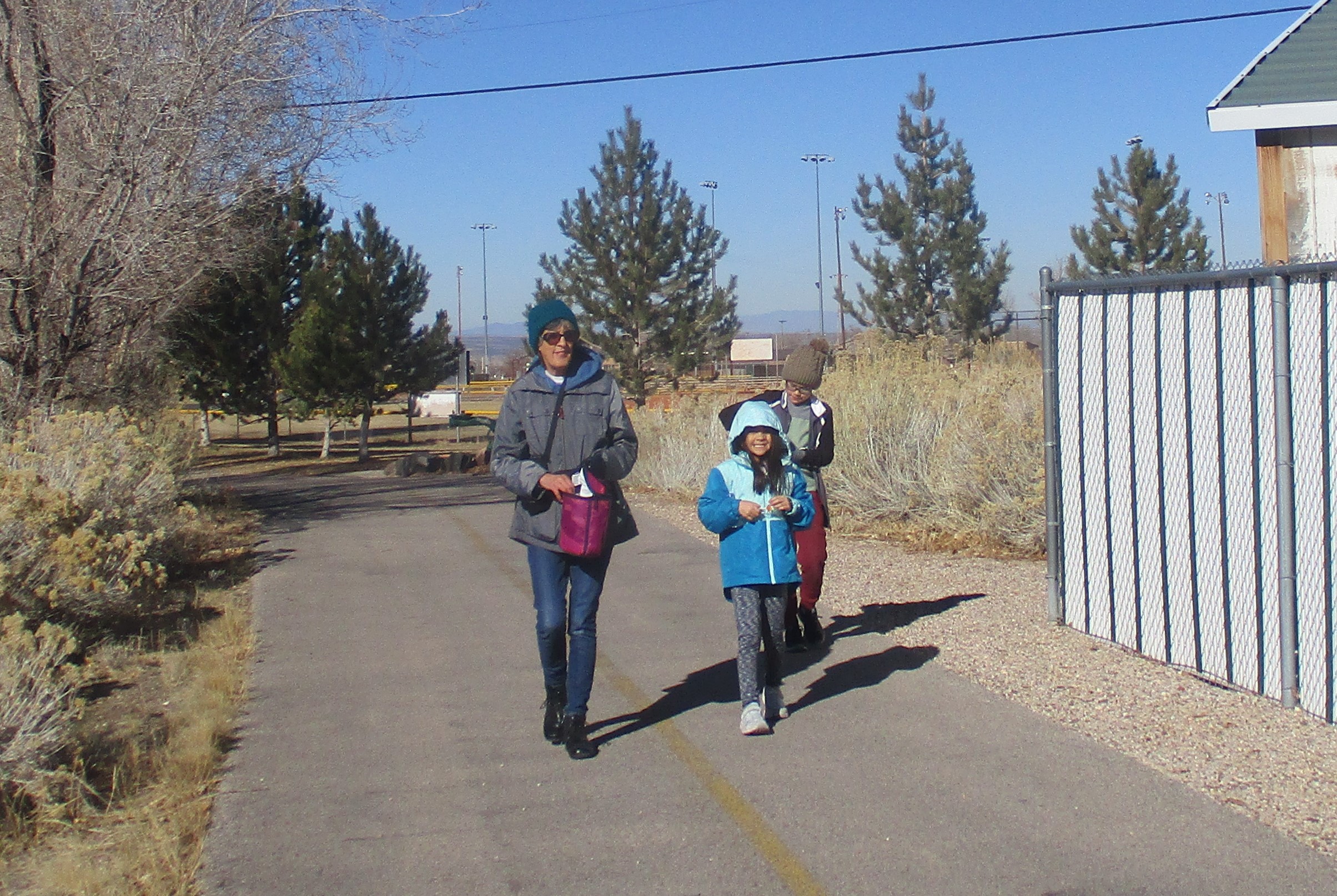
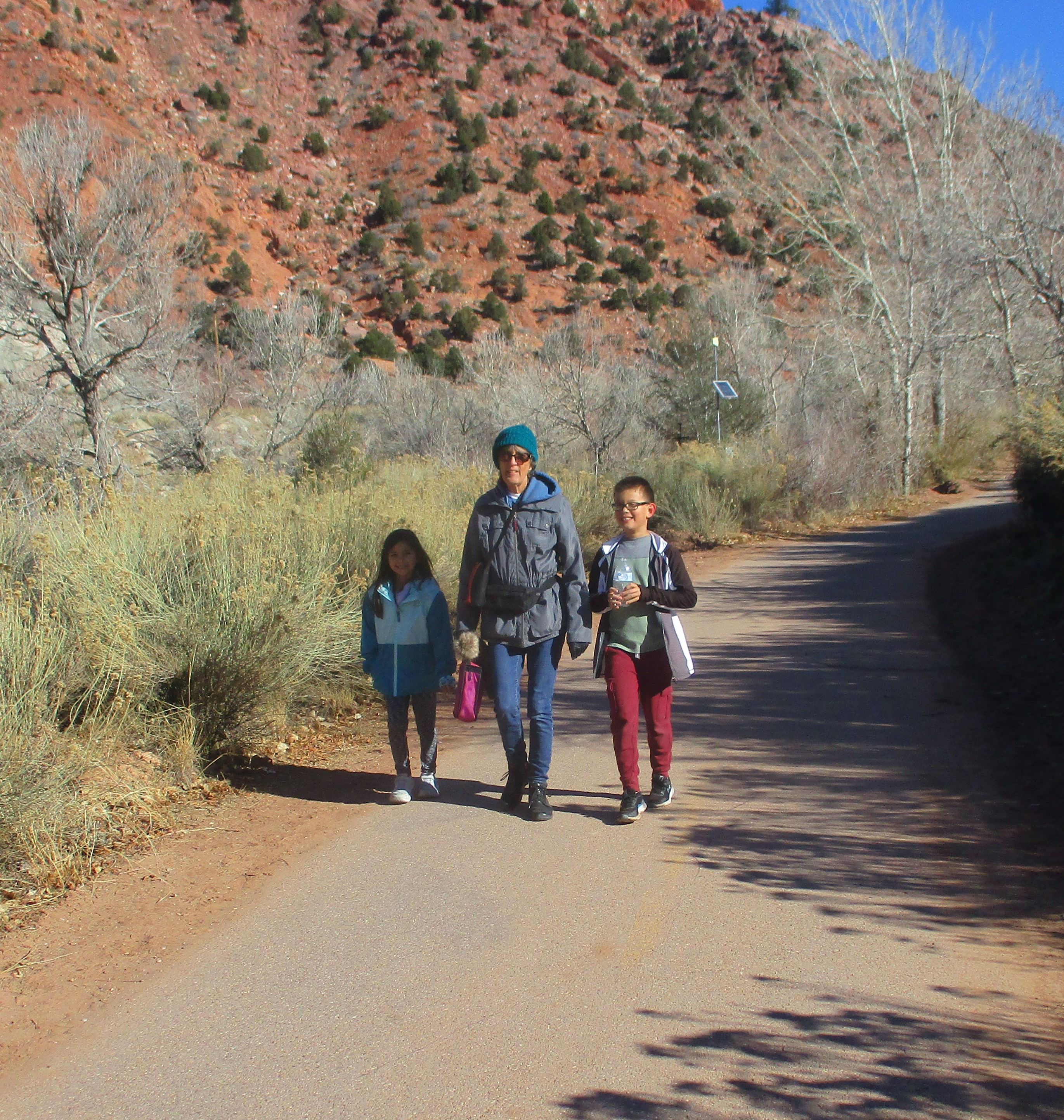
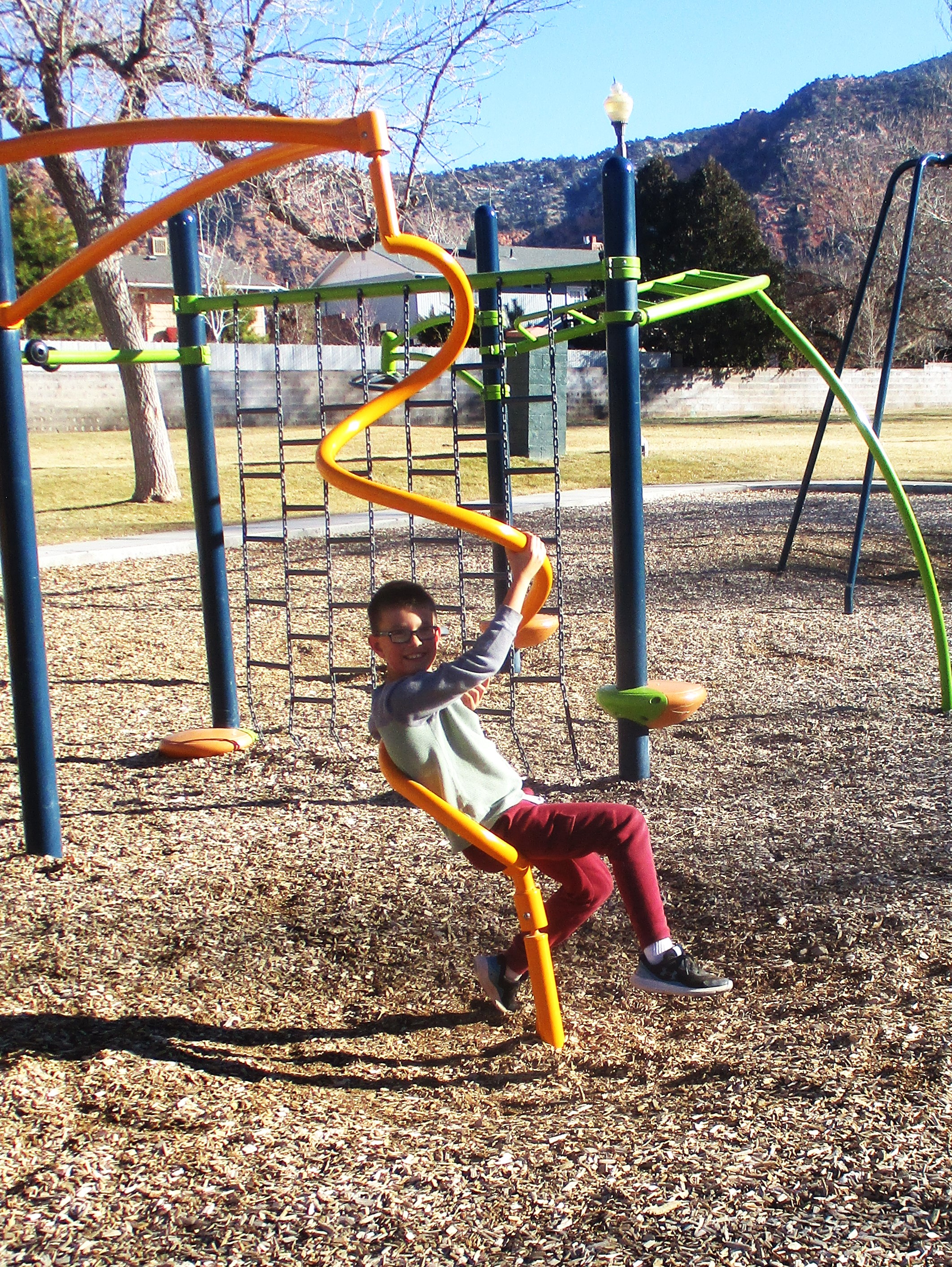
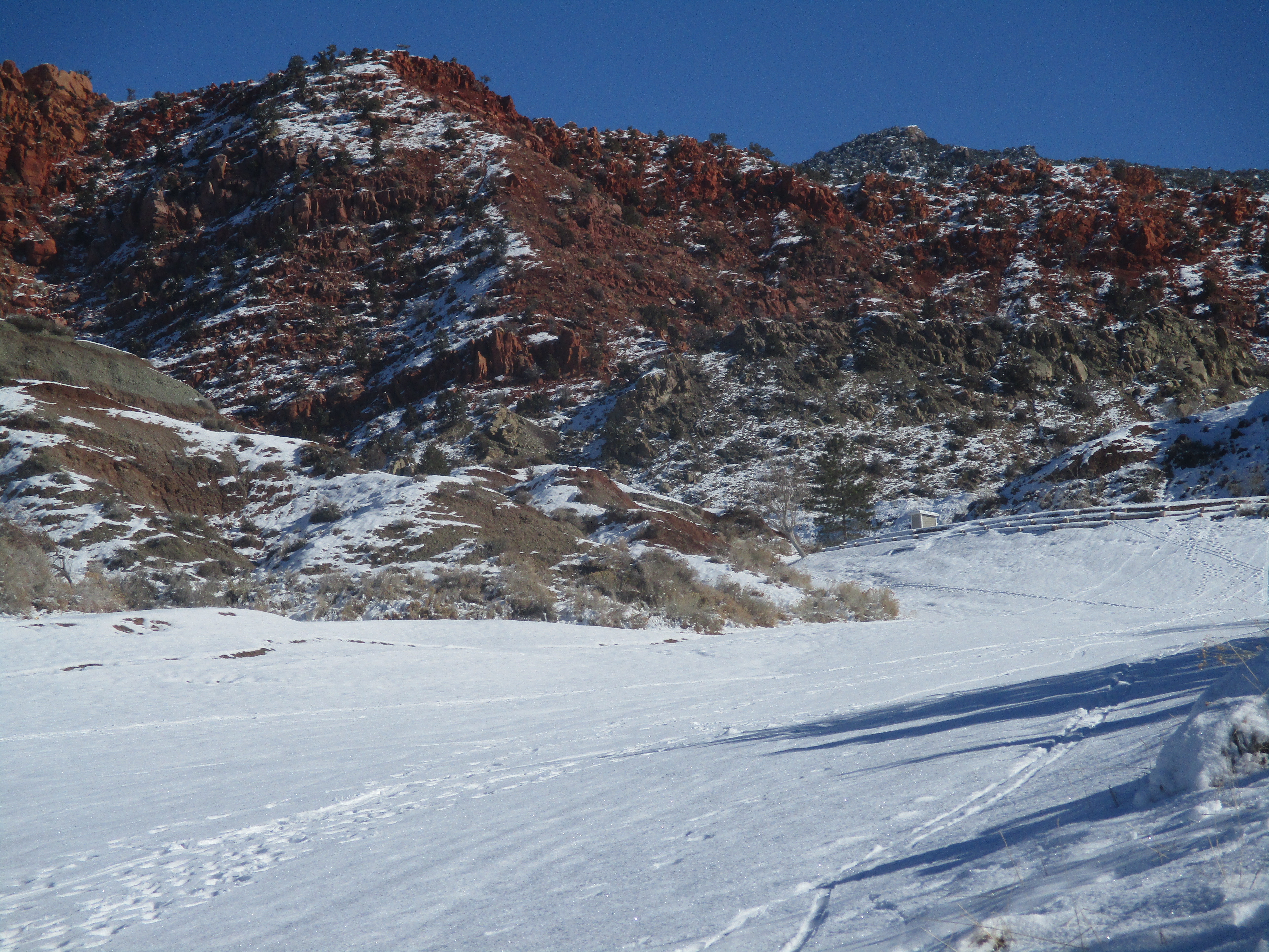
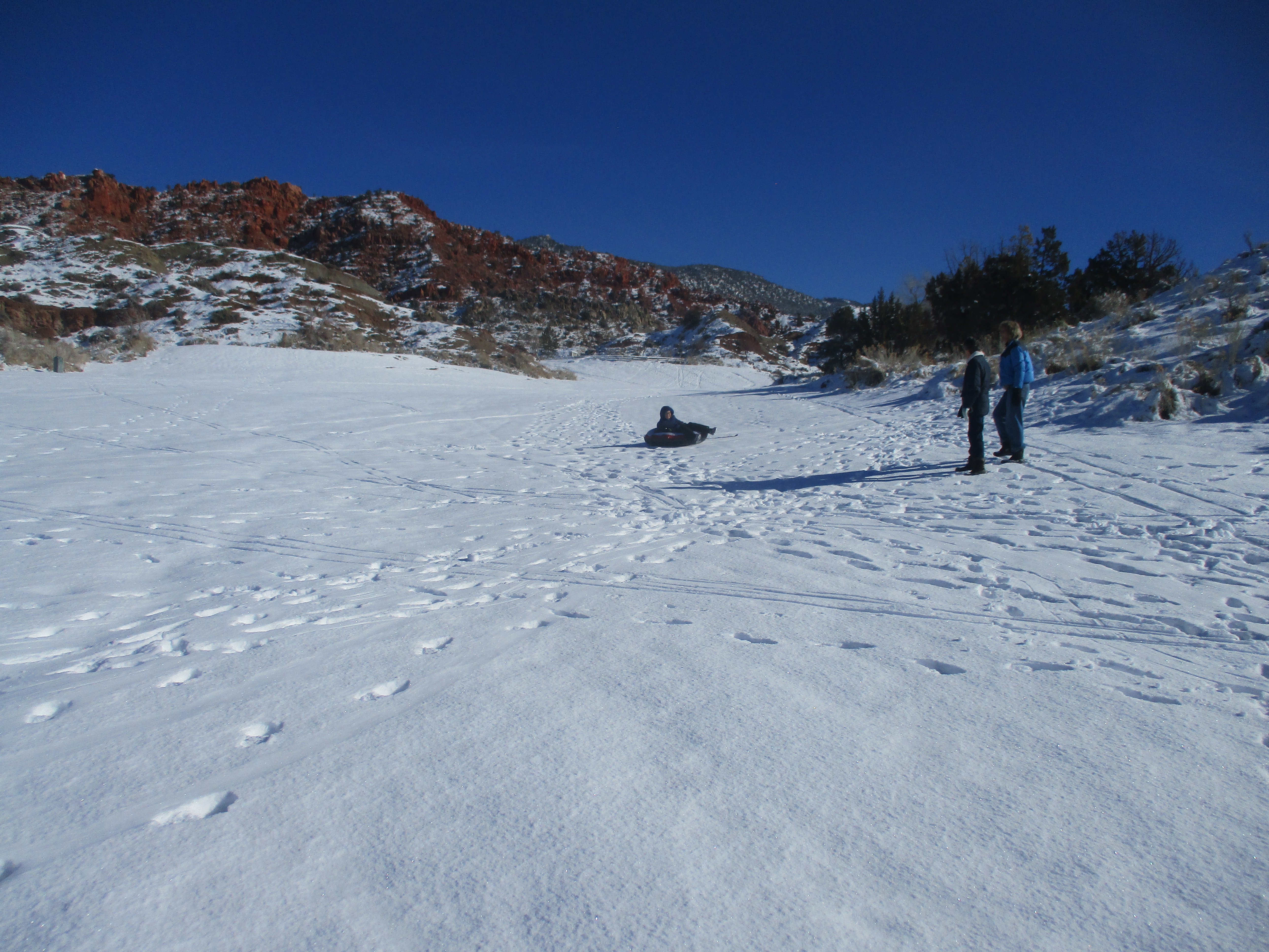
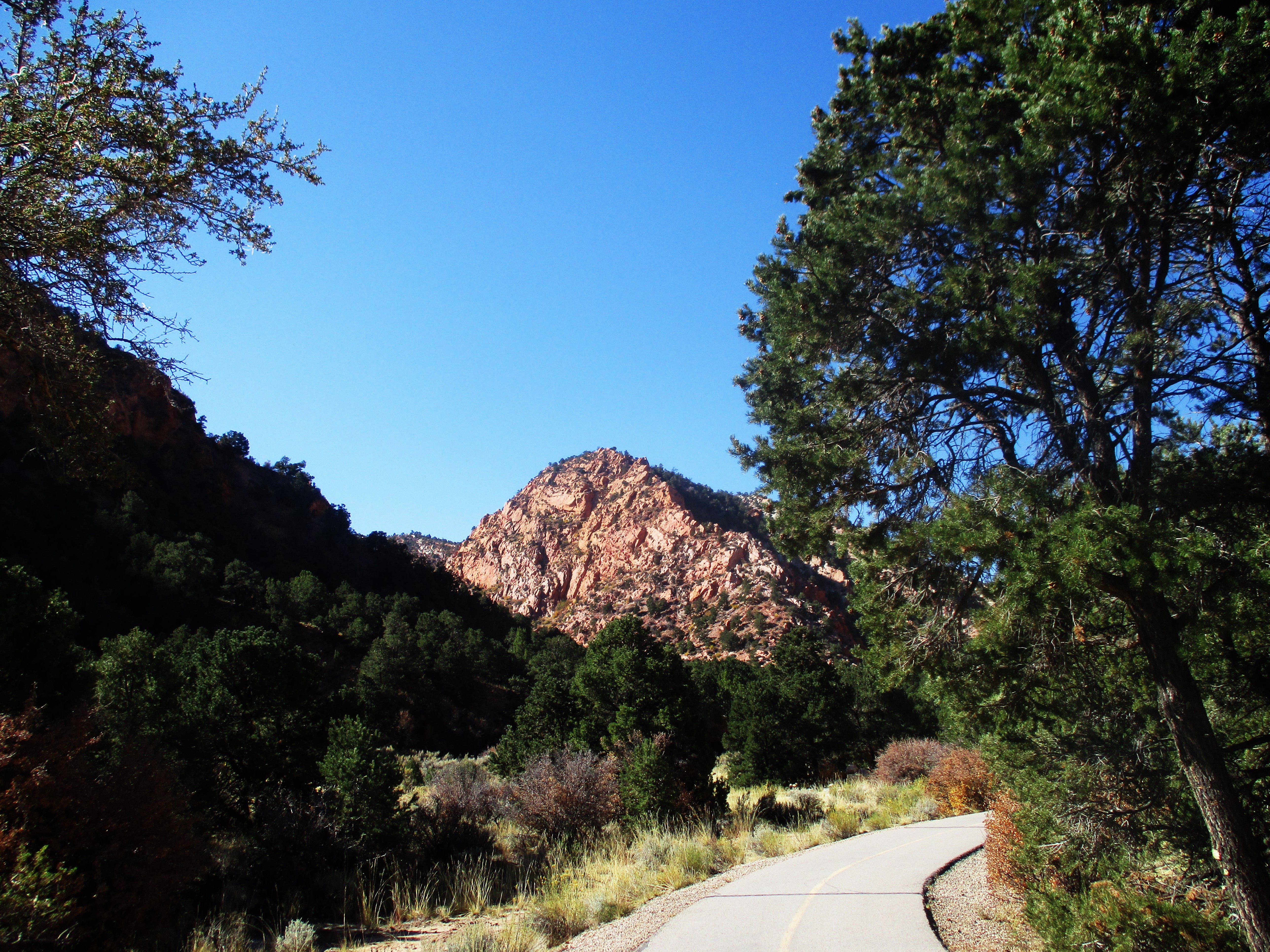
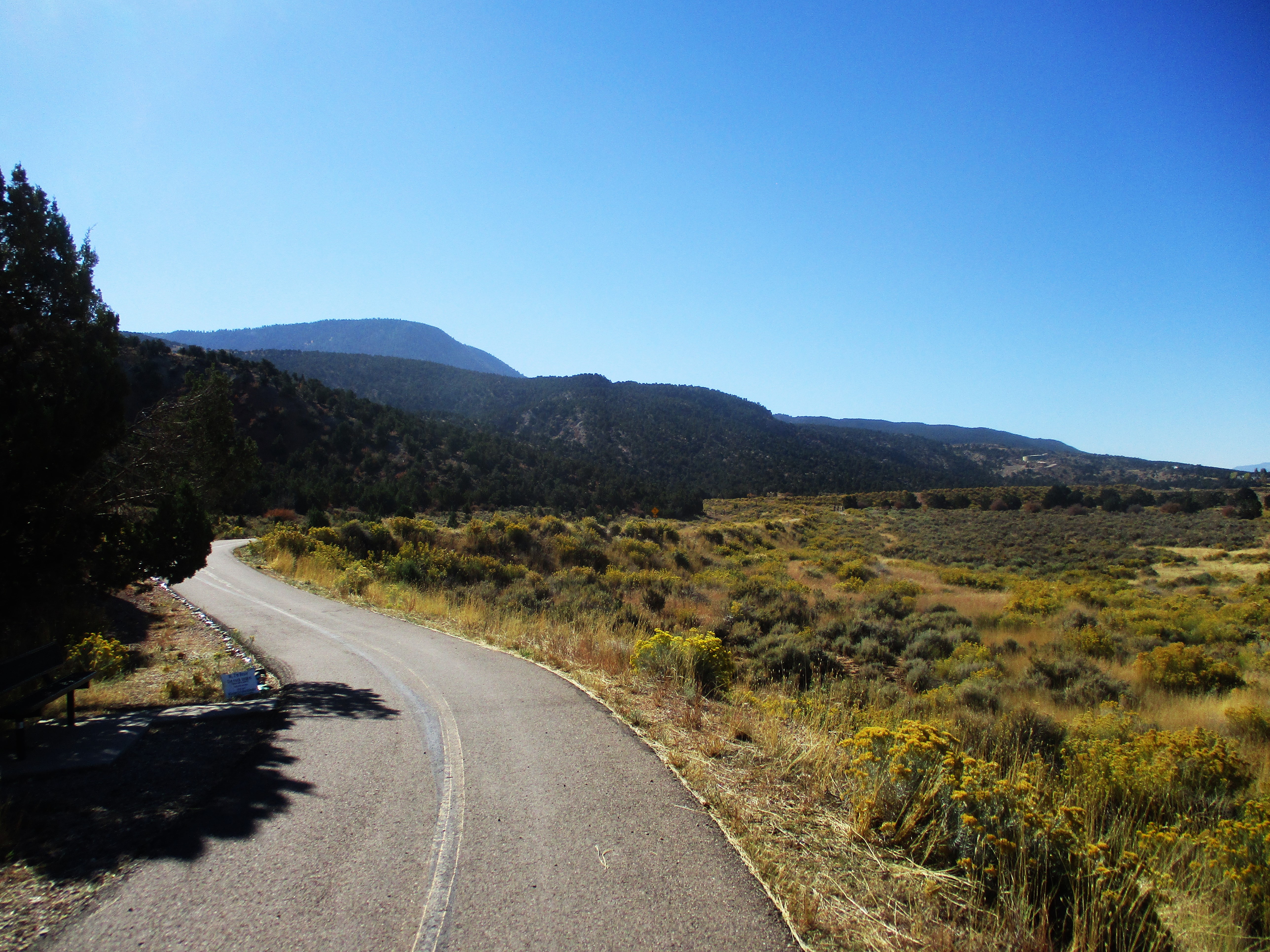
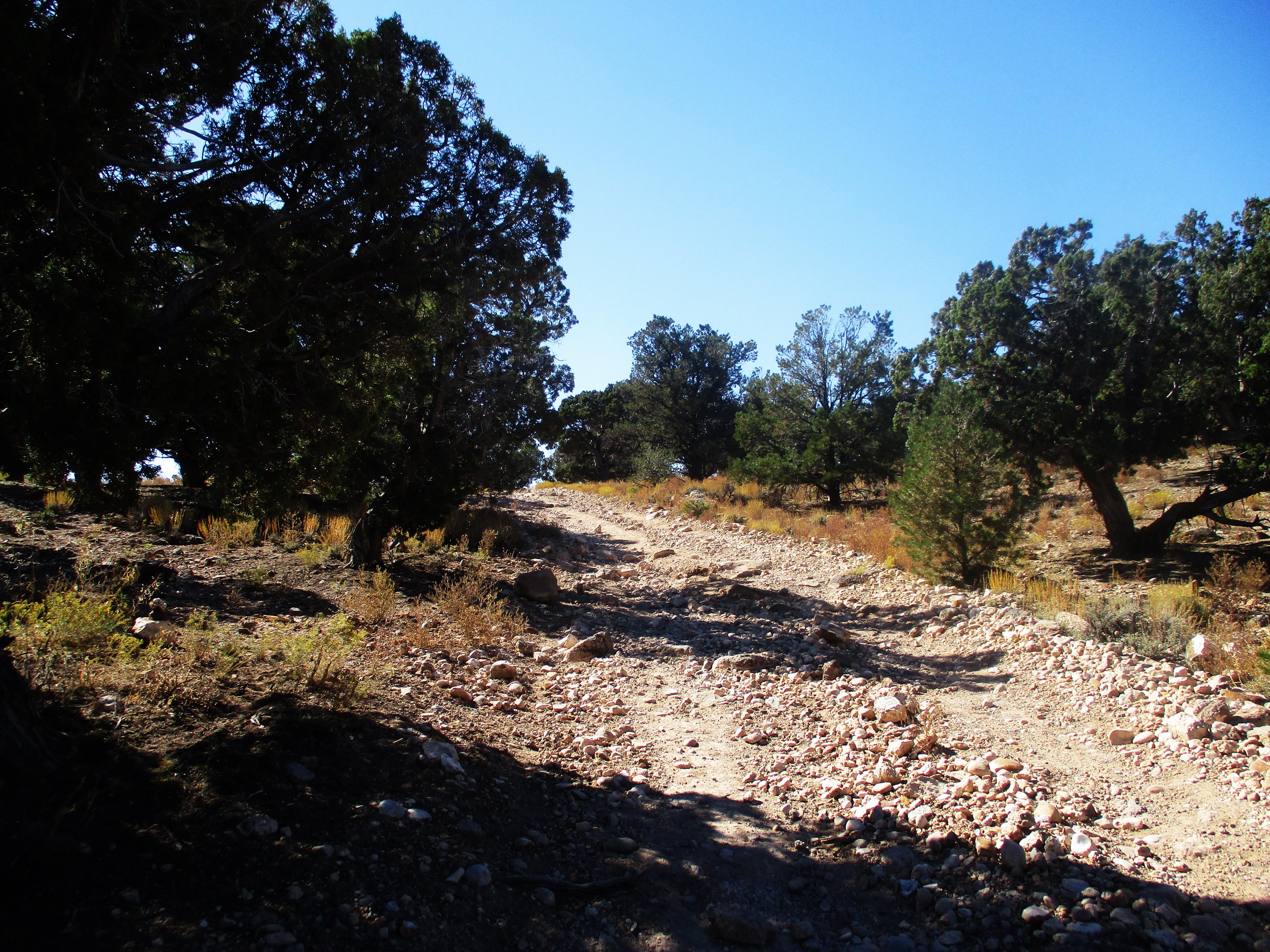
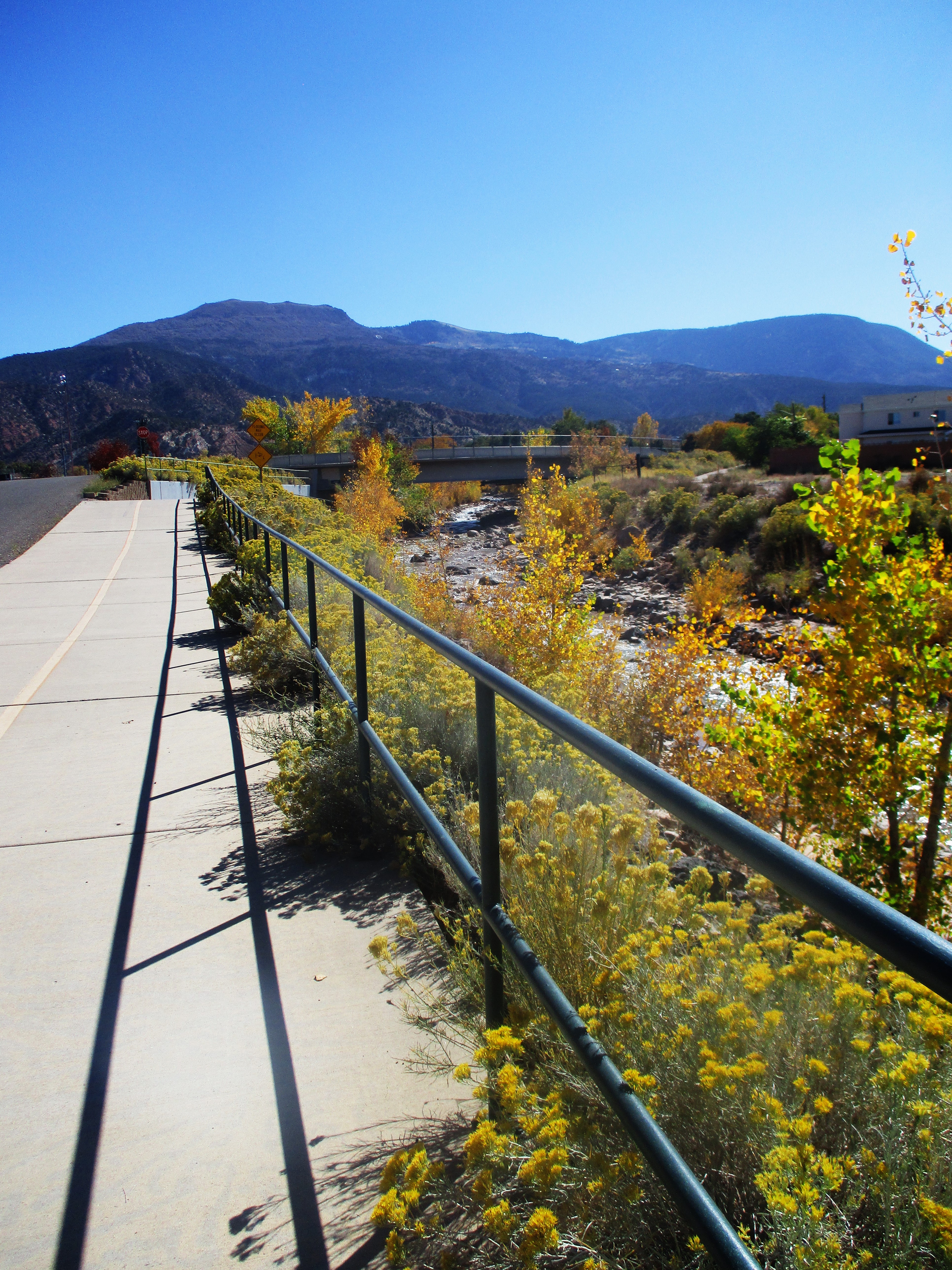
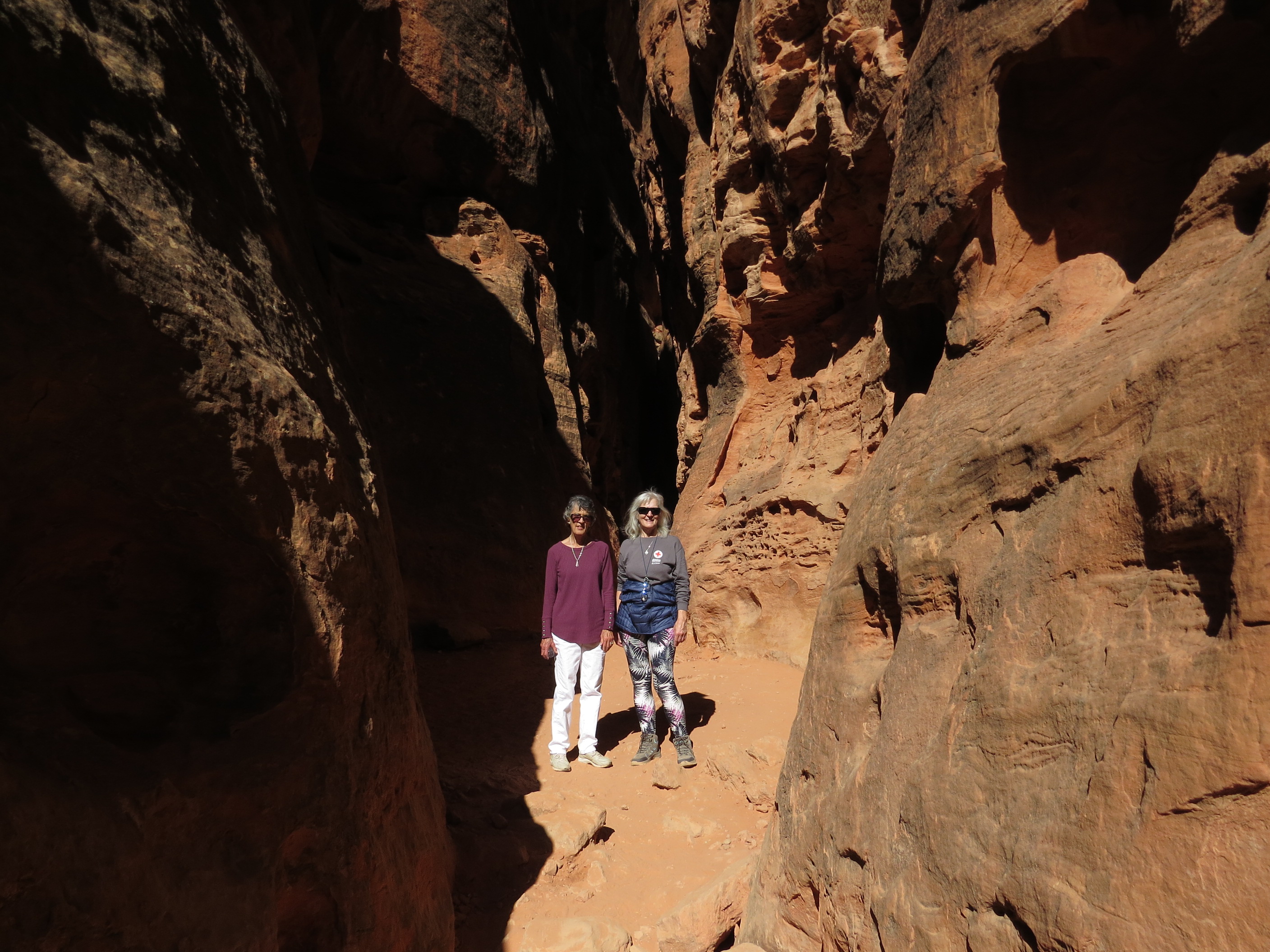
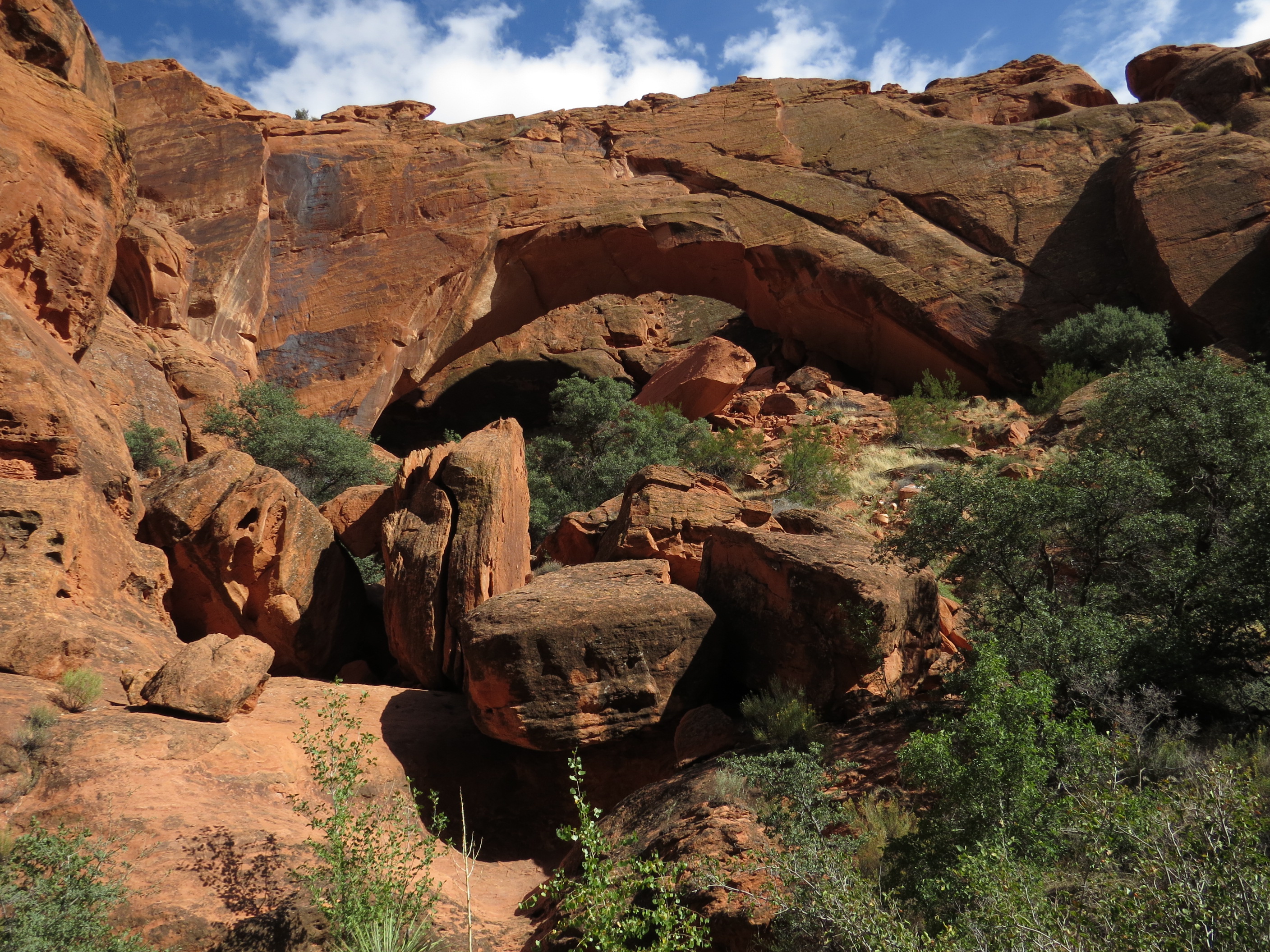
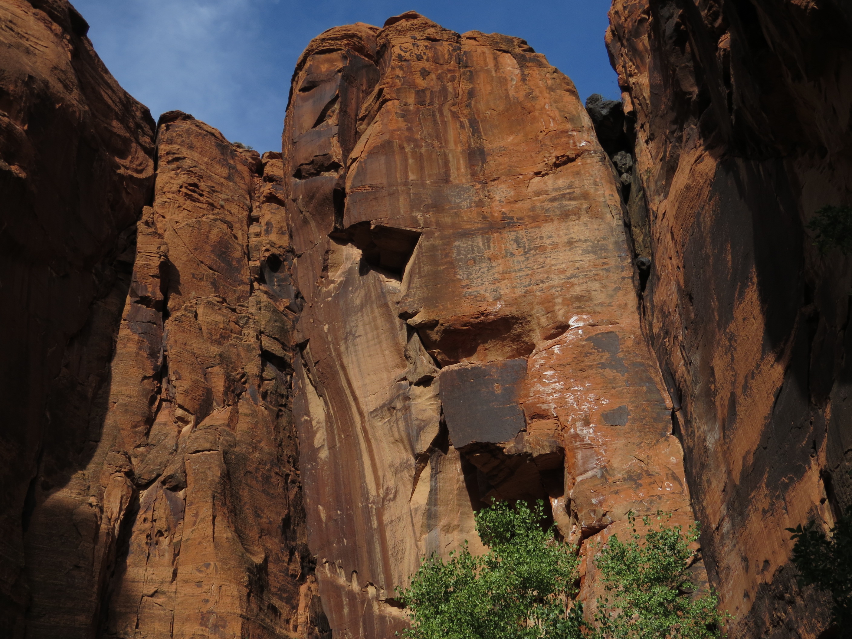
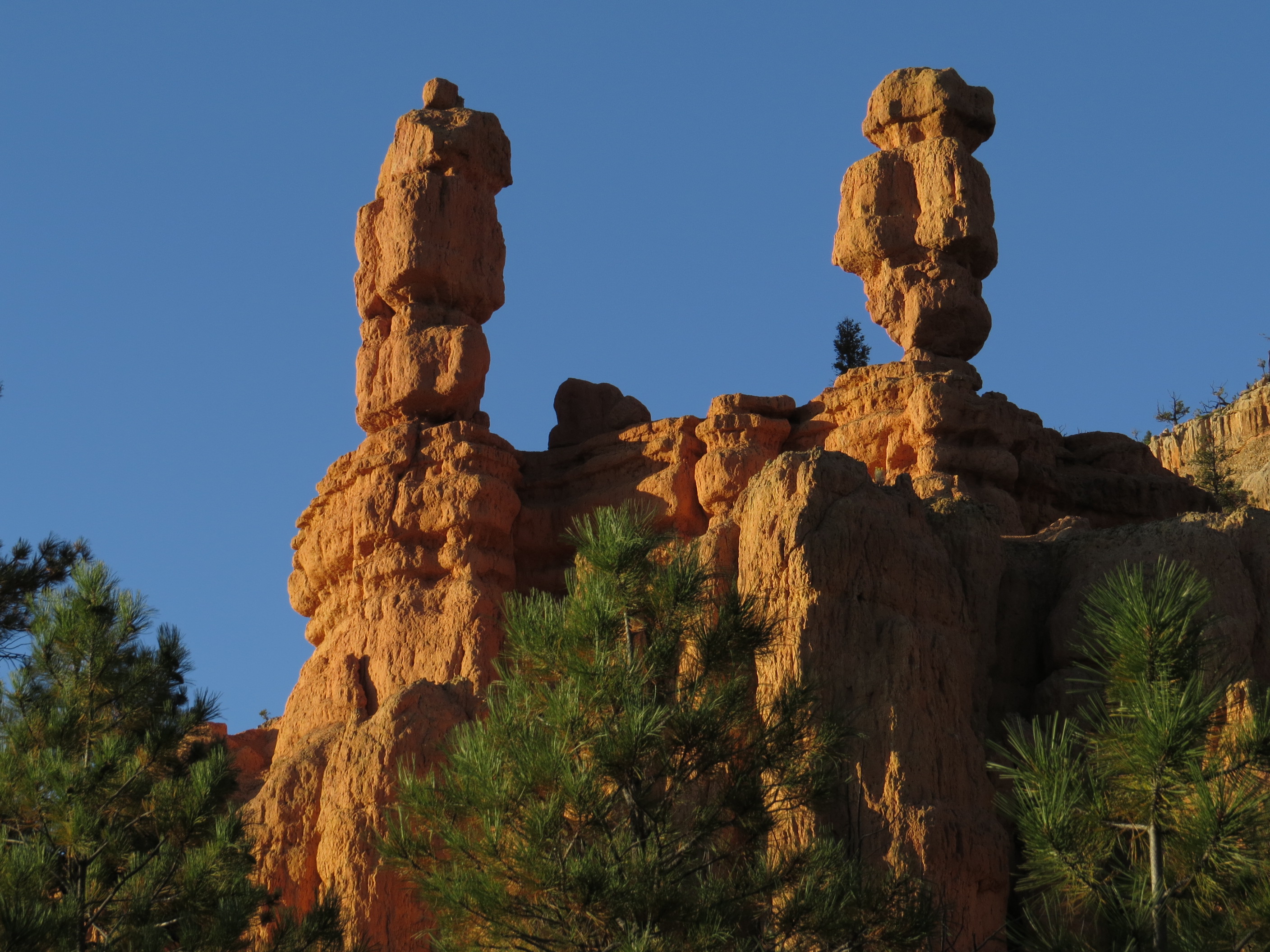
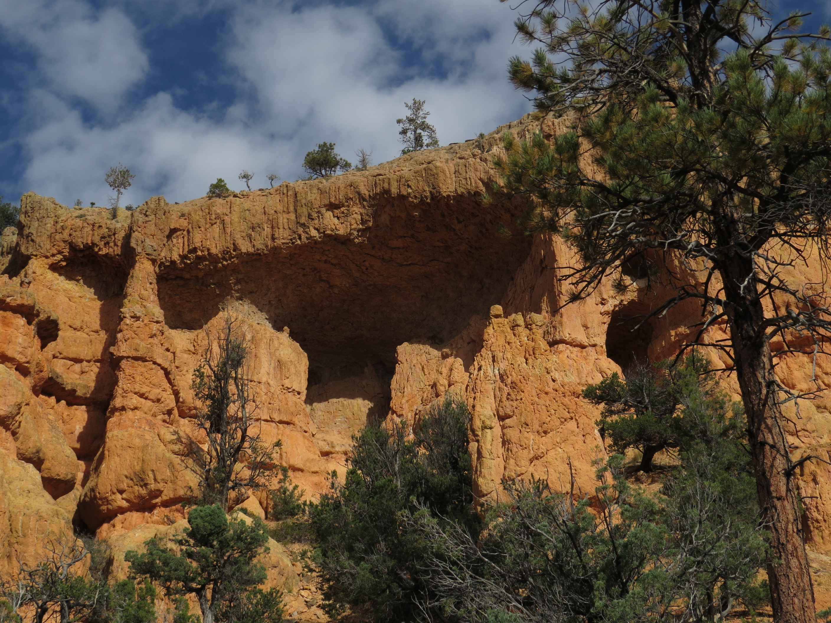
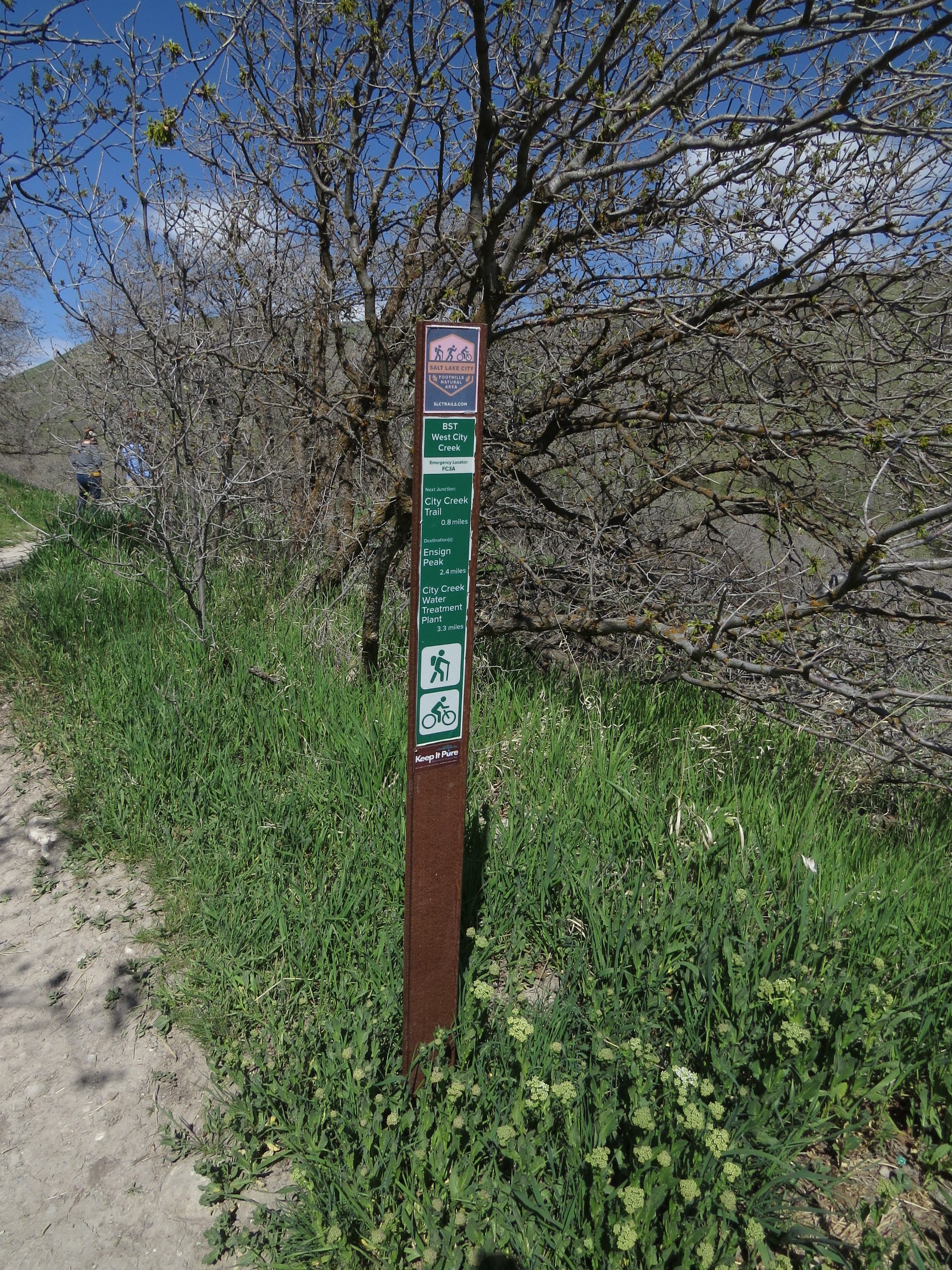
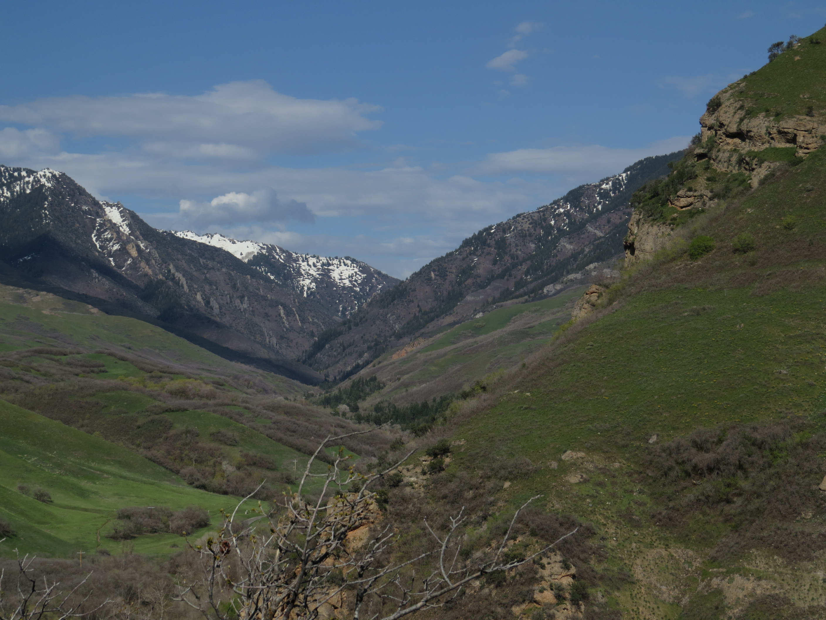
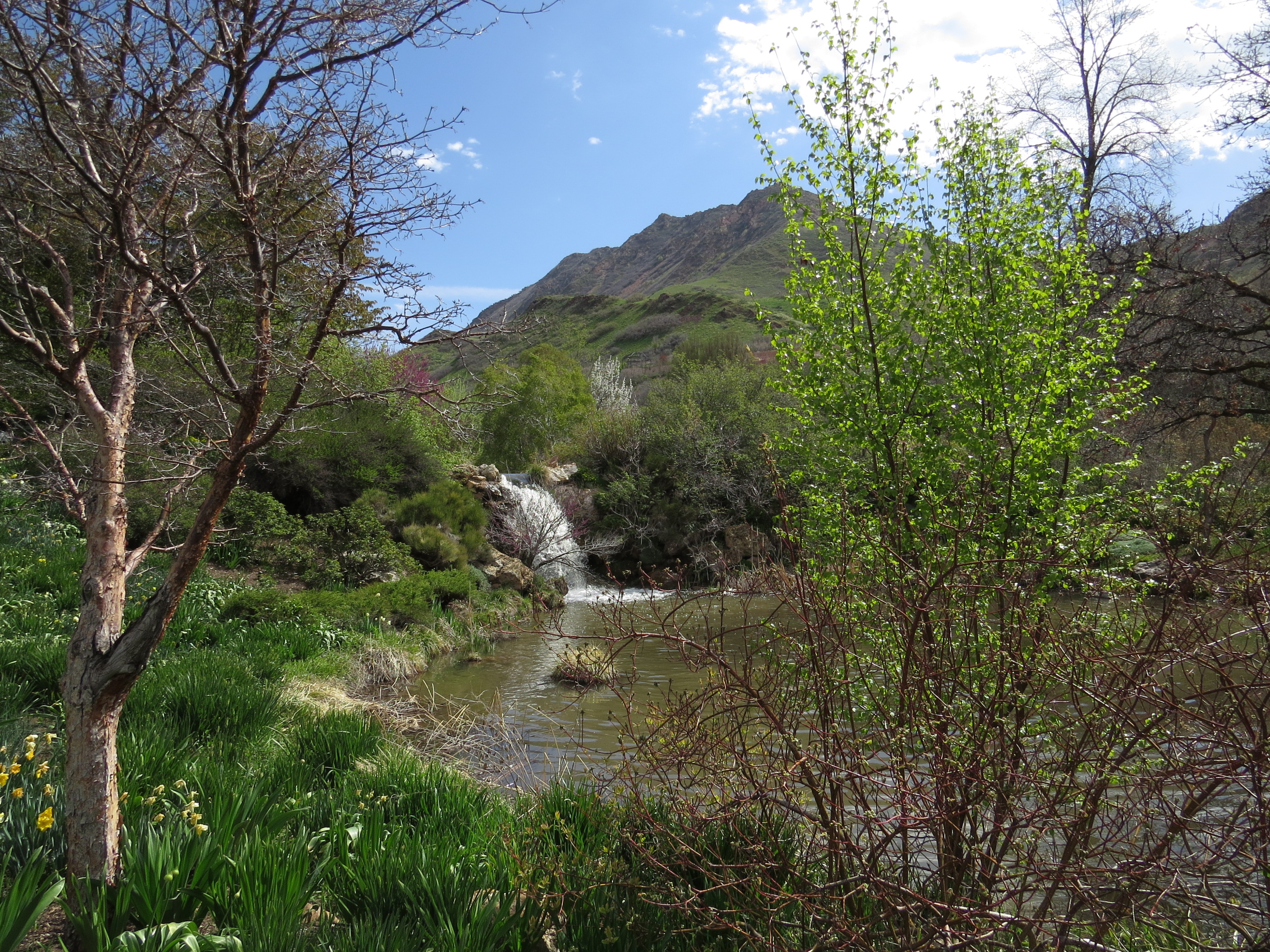
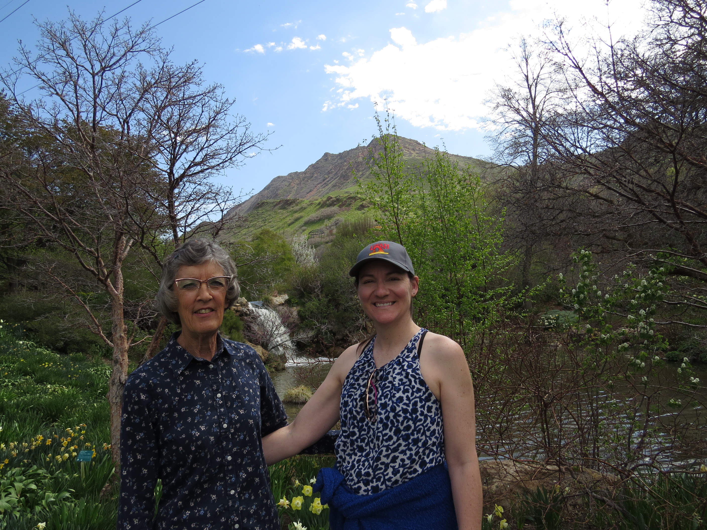
Dave and Jan have lived in Utah for four years as of June, 2024, but they had never visited Salt Lake City during that time until their daughter, Alissa, traveled from South Dakota to take some classes and participate in some evaluations in connection with her pursuit of a degree as a mid-wife. She had a Tuesday afternoon/evening and Wednesday morning free, so Dave and Jan went to Salt Lake City to spend her free time with her. They met for lunch at an In-N-Out restaurant, because they each enjoy In-N-Out meals, and they are not available in Huron, South Dakota. Because Dave took a wrong freeway entrance, Alissa was pretty much finished with lunch by the time their meeting took place, but it was good to connect. Next was a very enjoyable hike at a Foothill Natural Area north-east of the city.
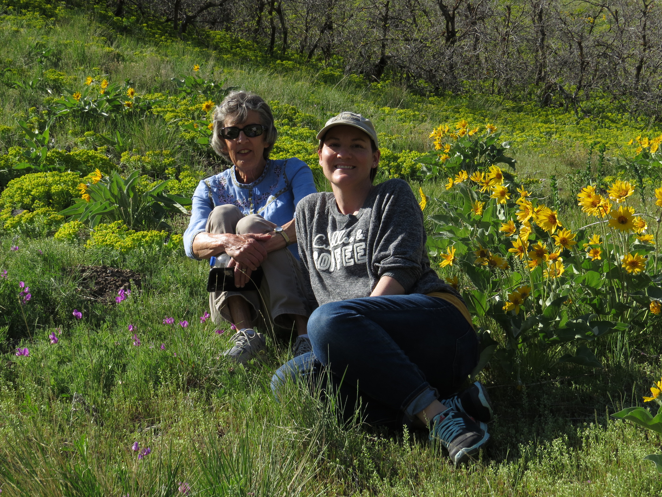
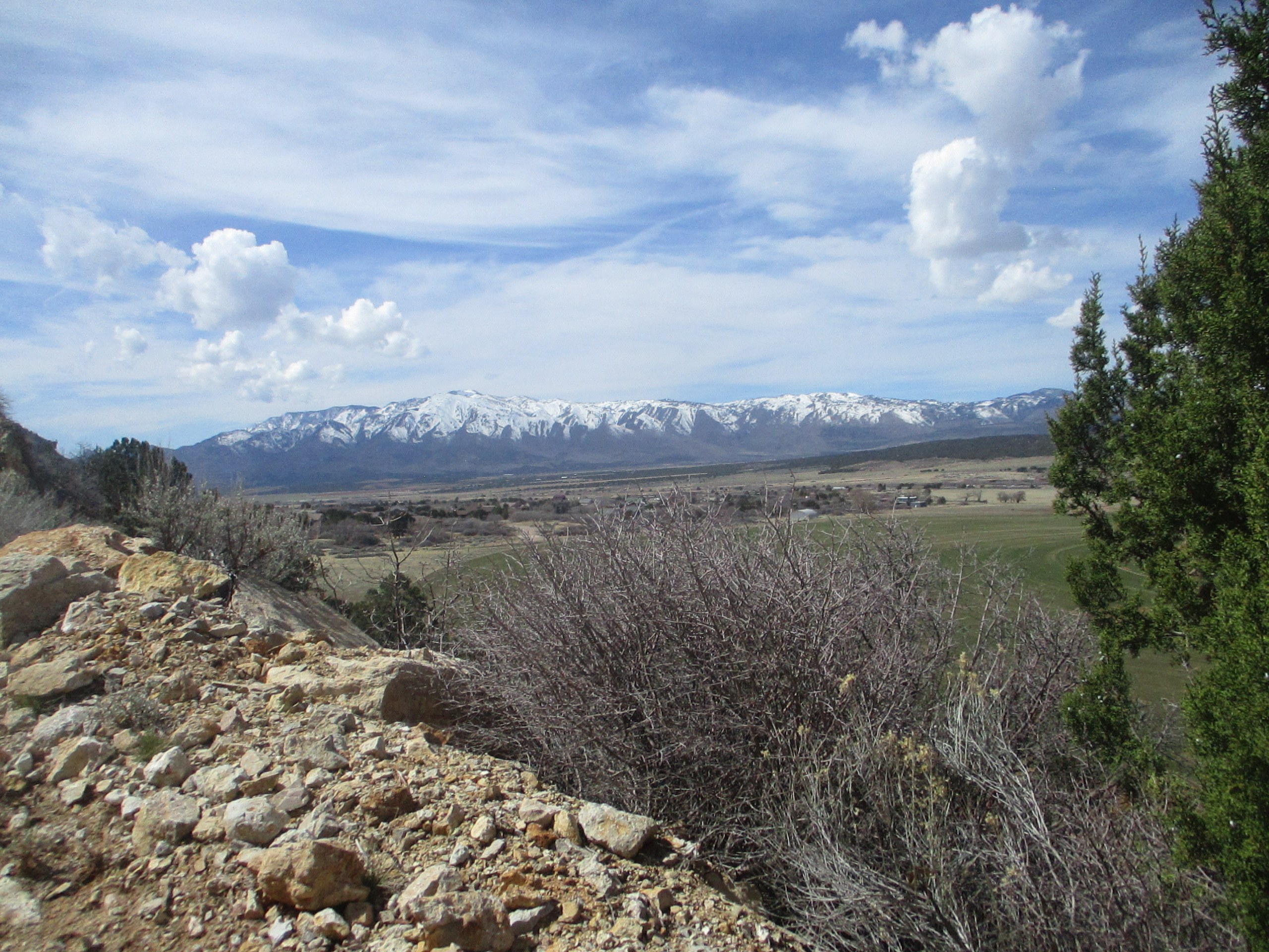
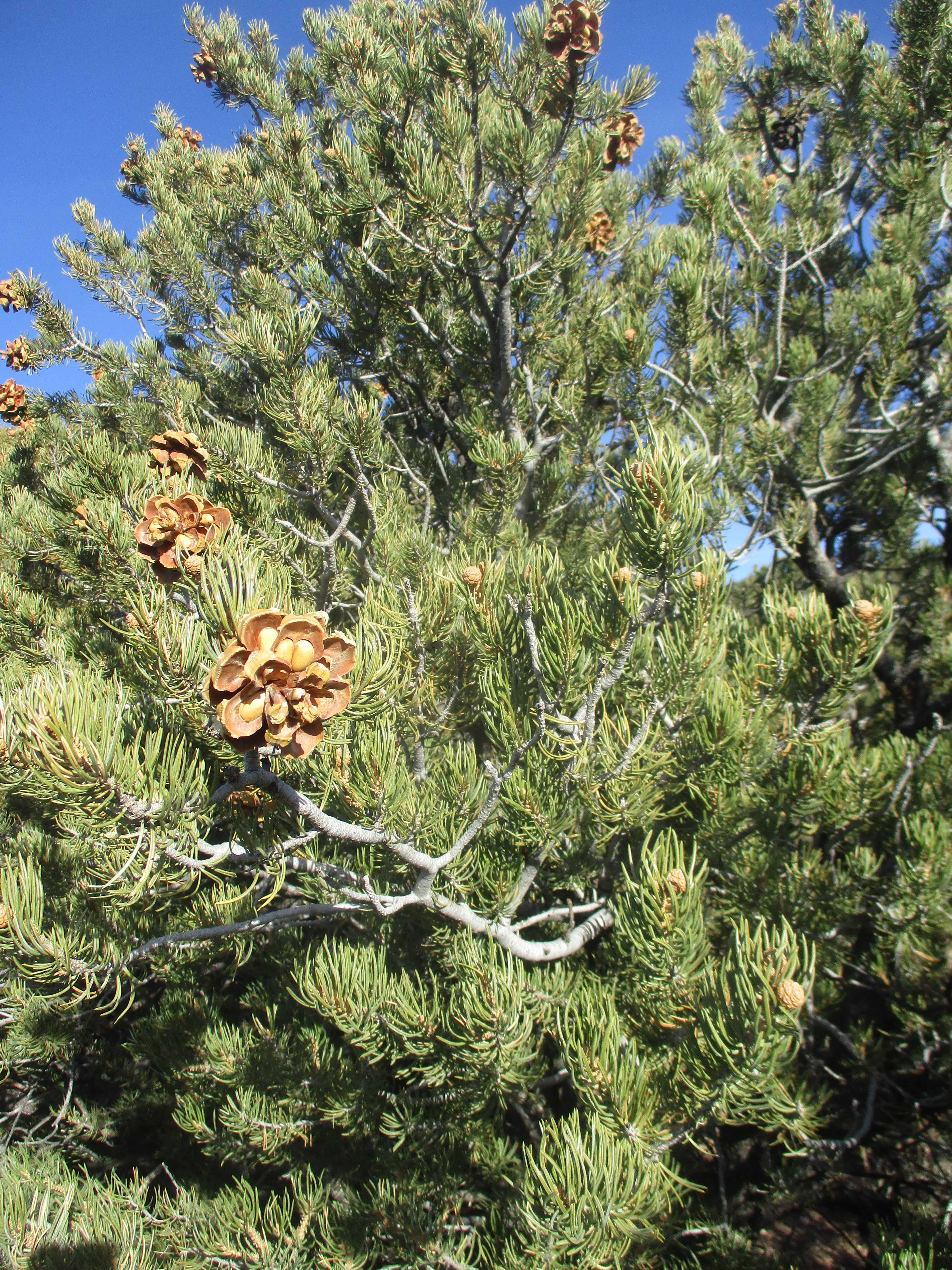
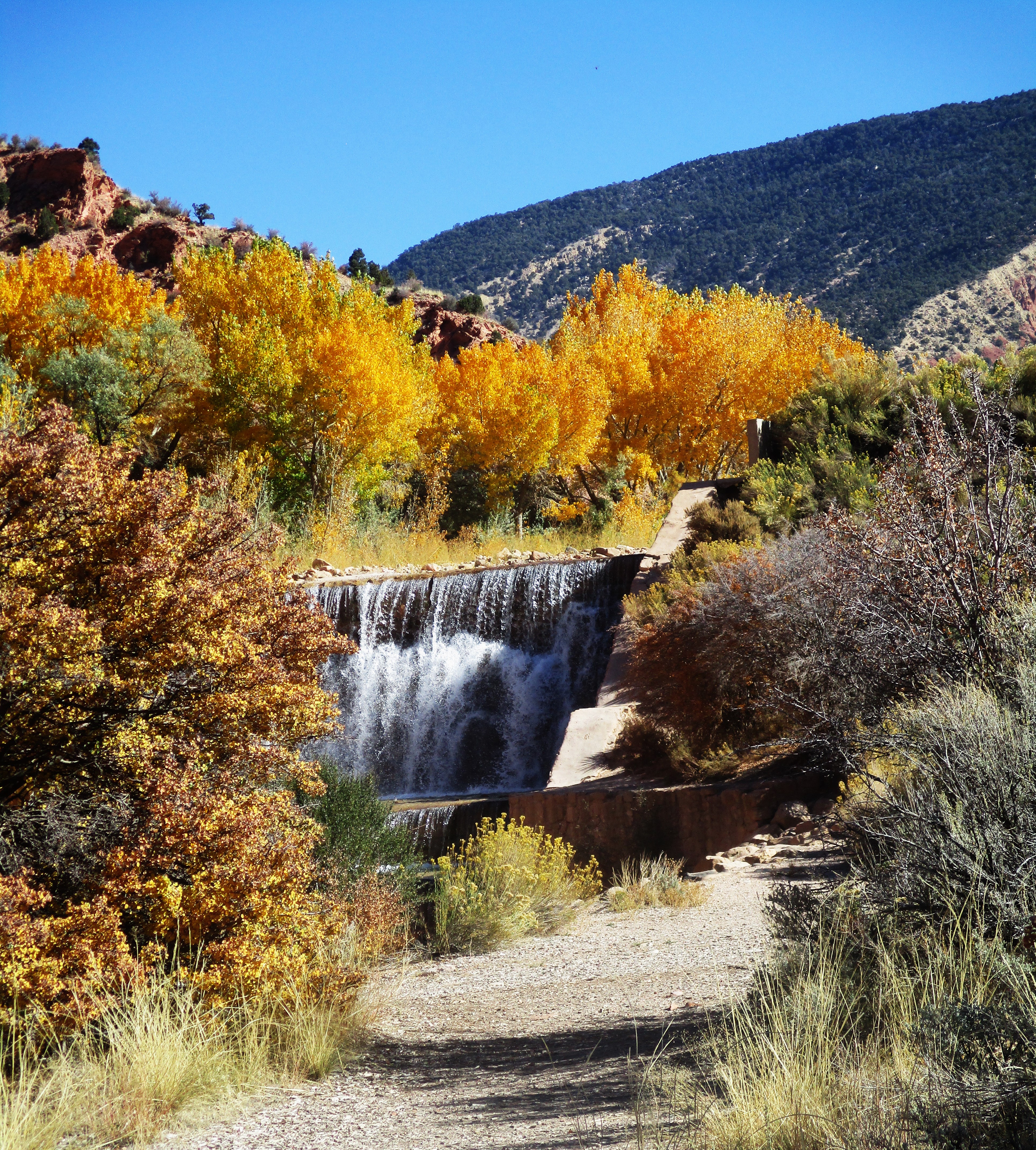
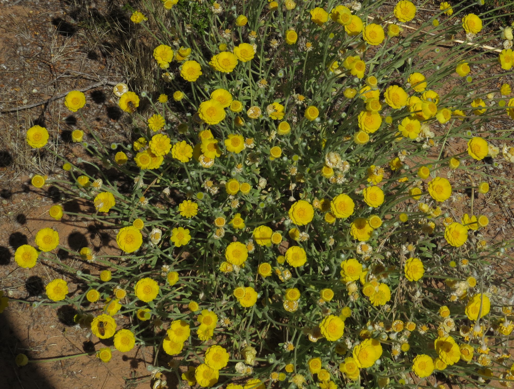
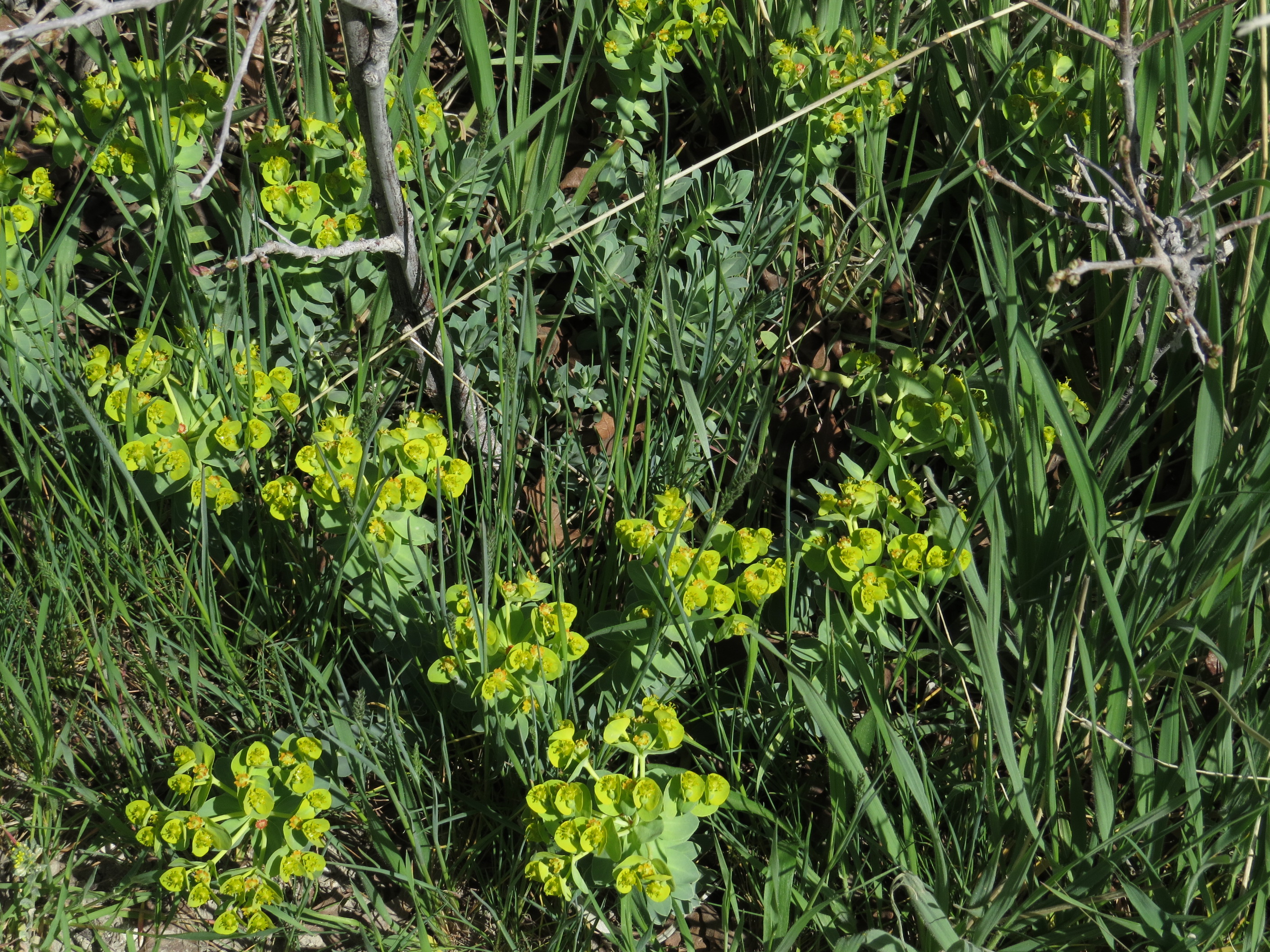
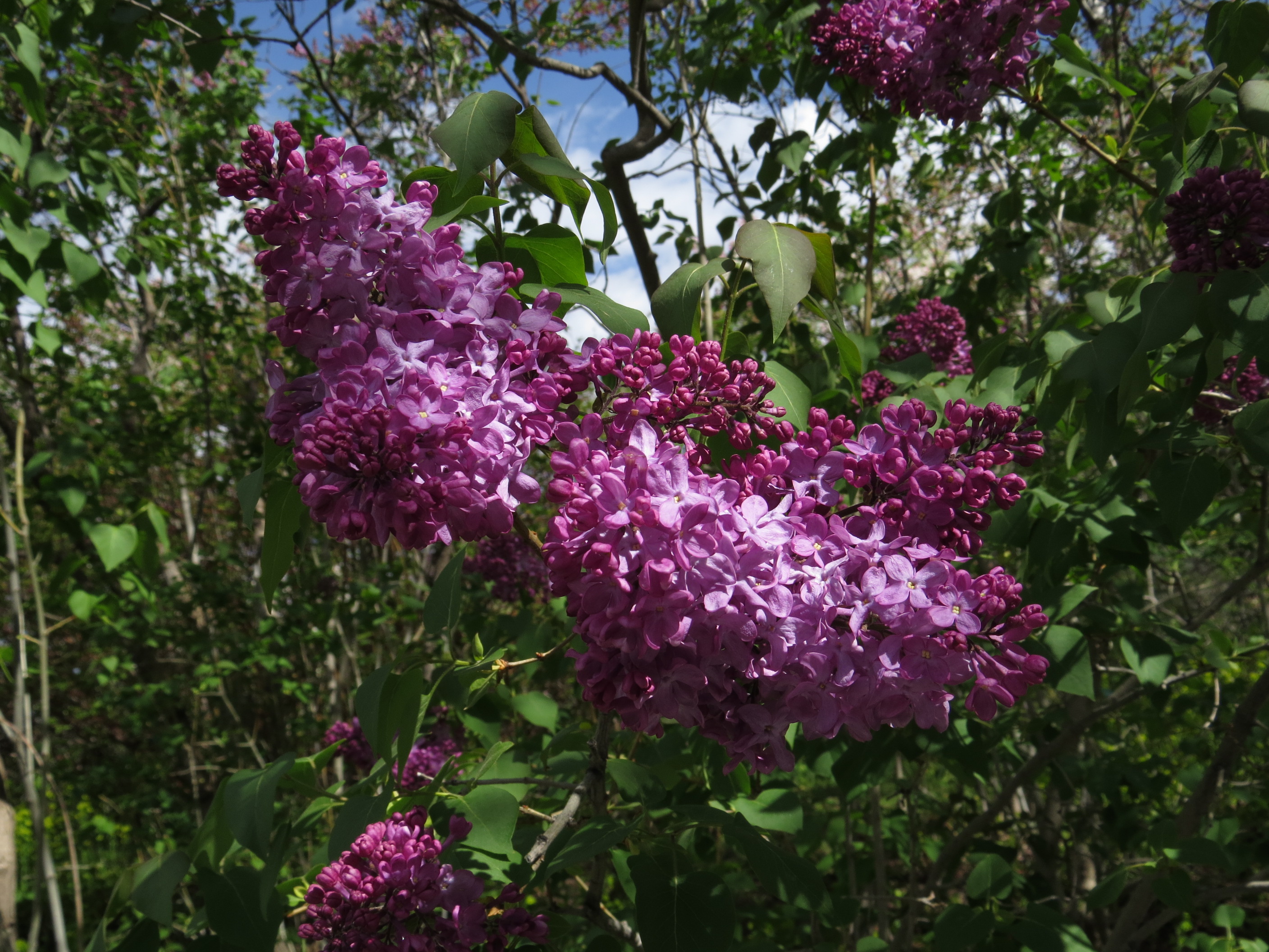
There were lots of spring flowers to enjoy along the trails – being enjoyed as well by many others.
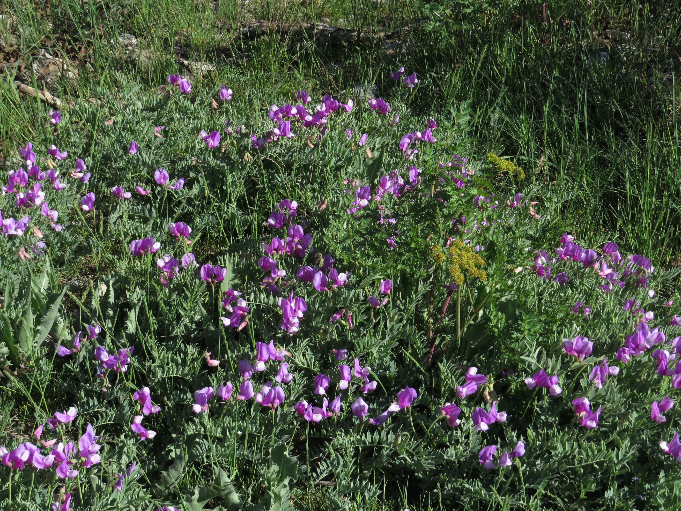
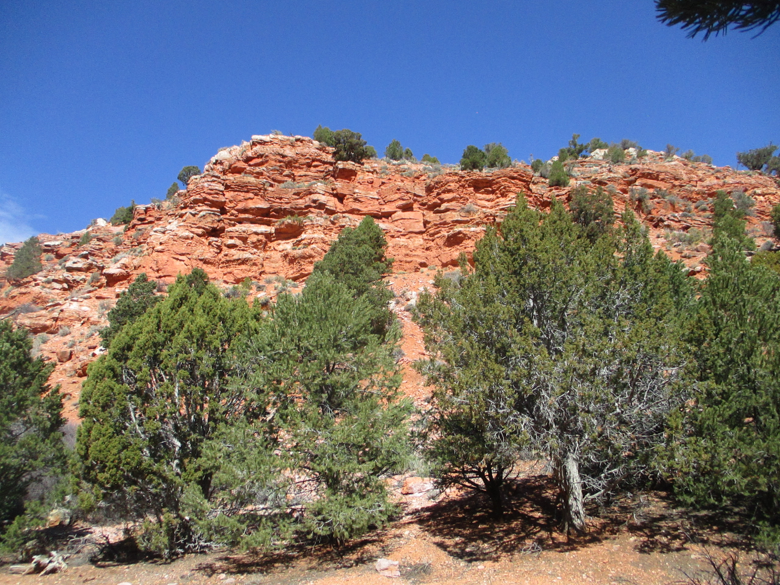
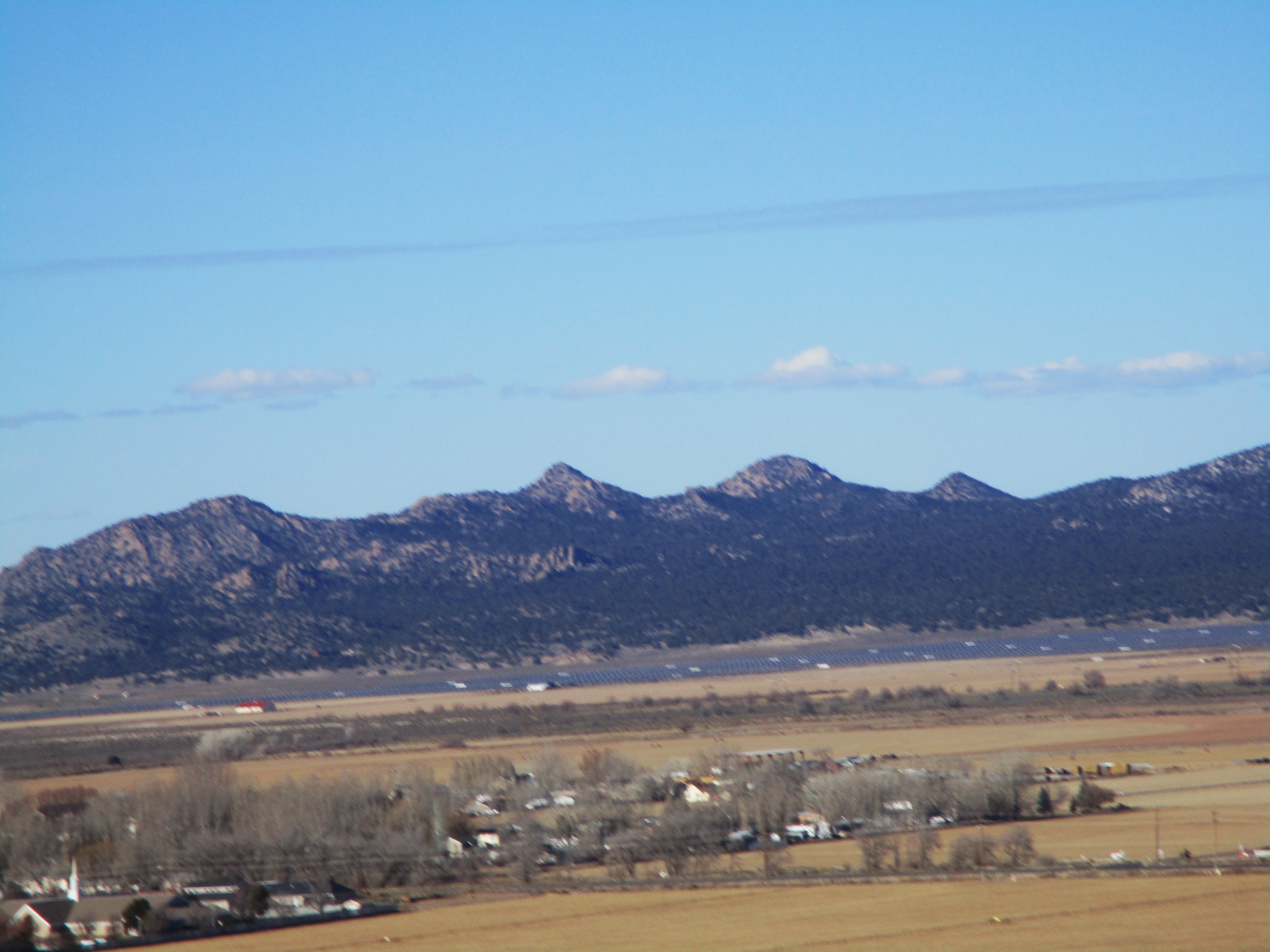
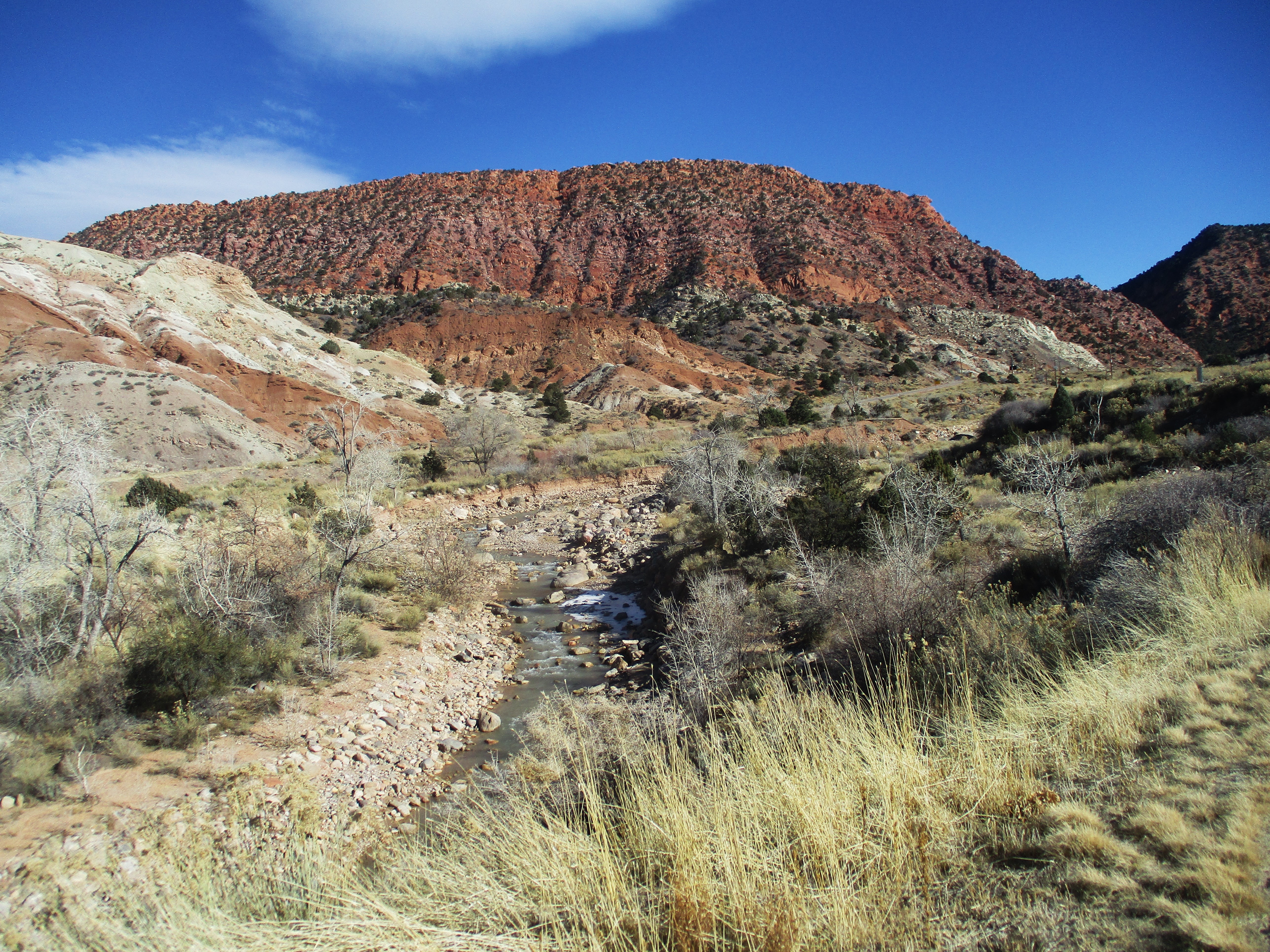
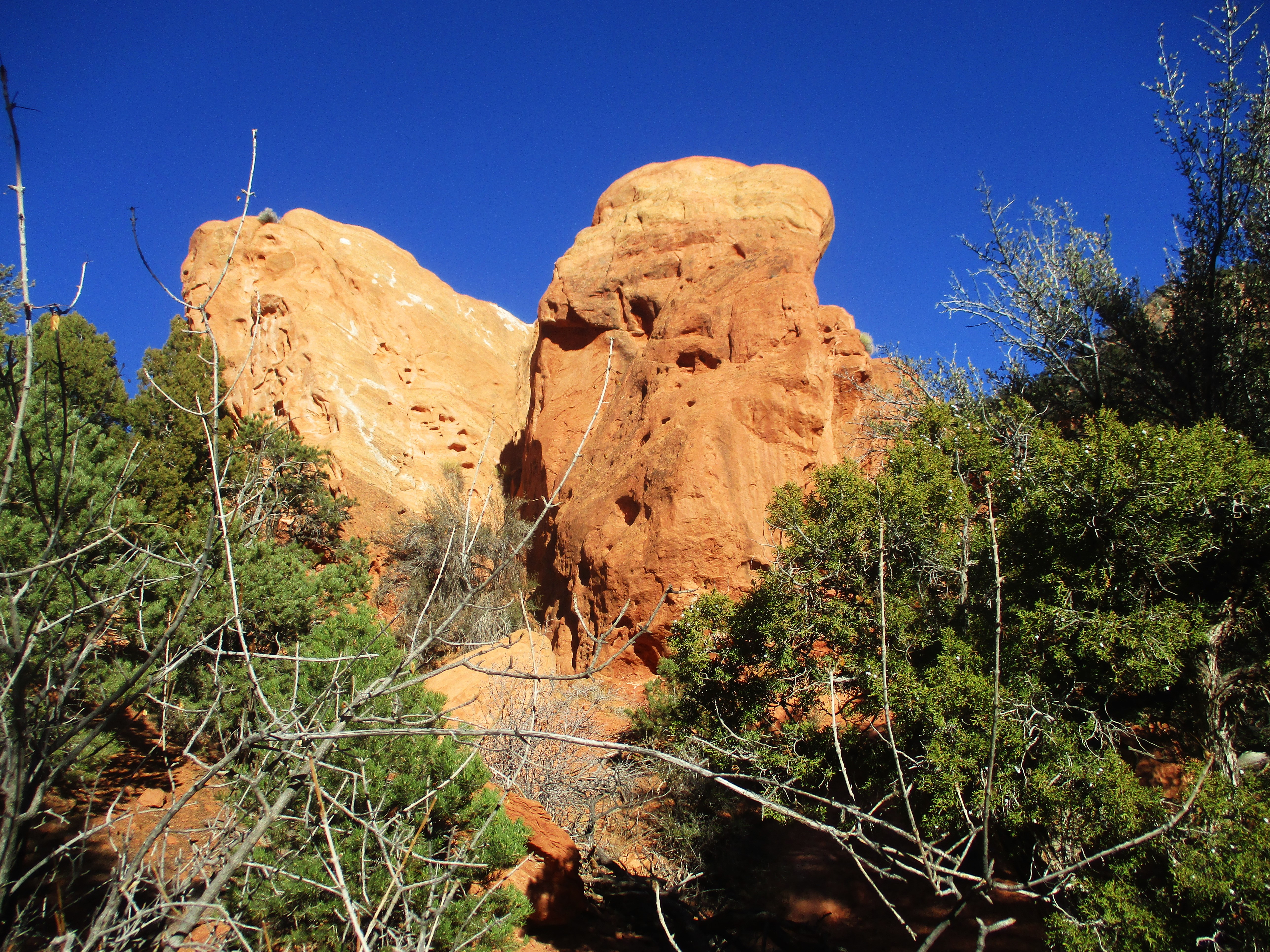
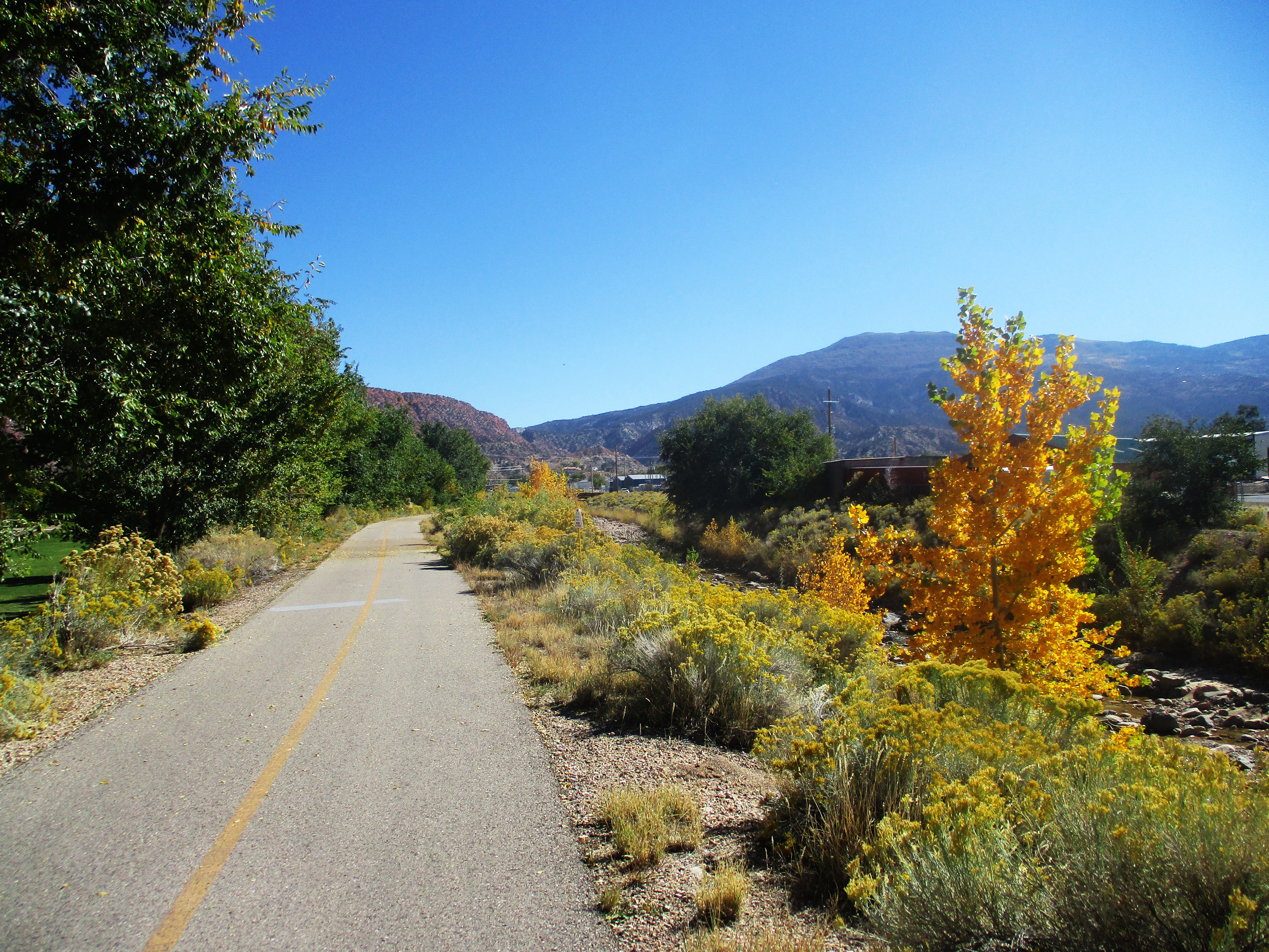
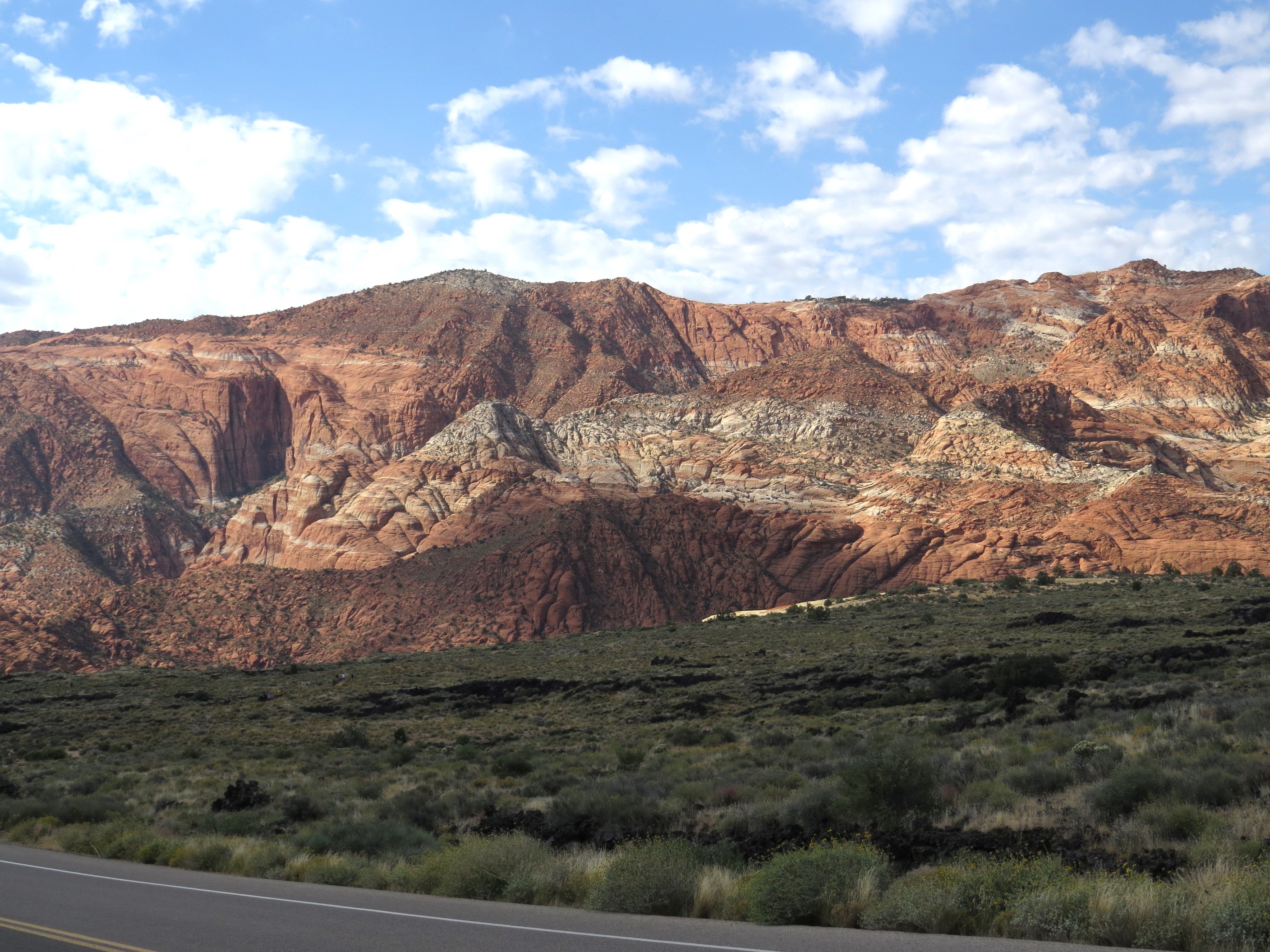
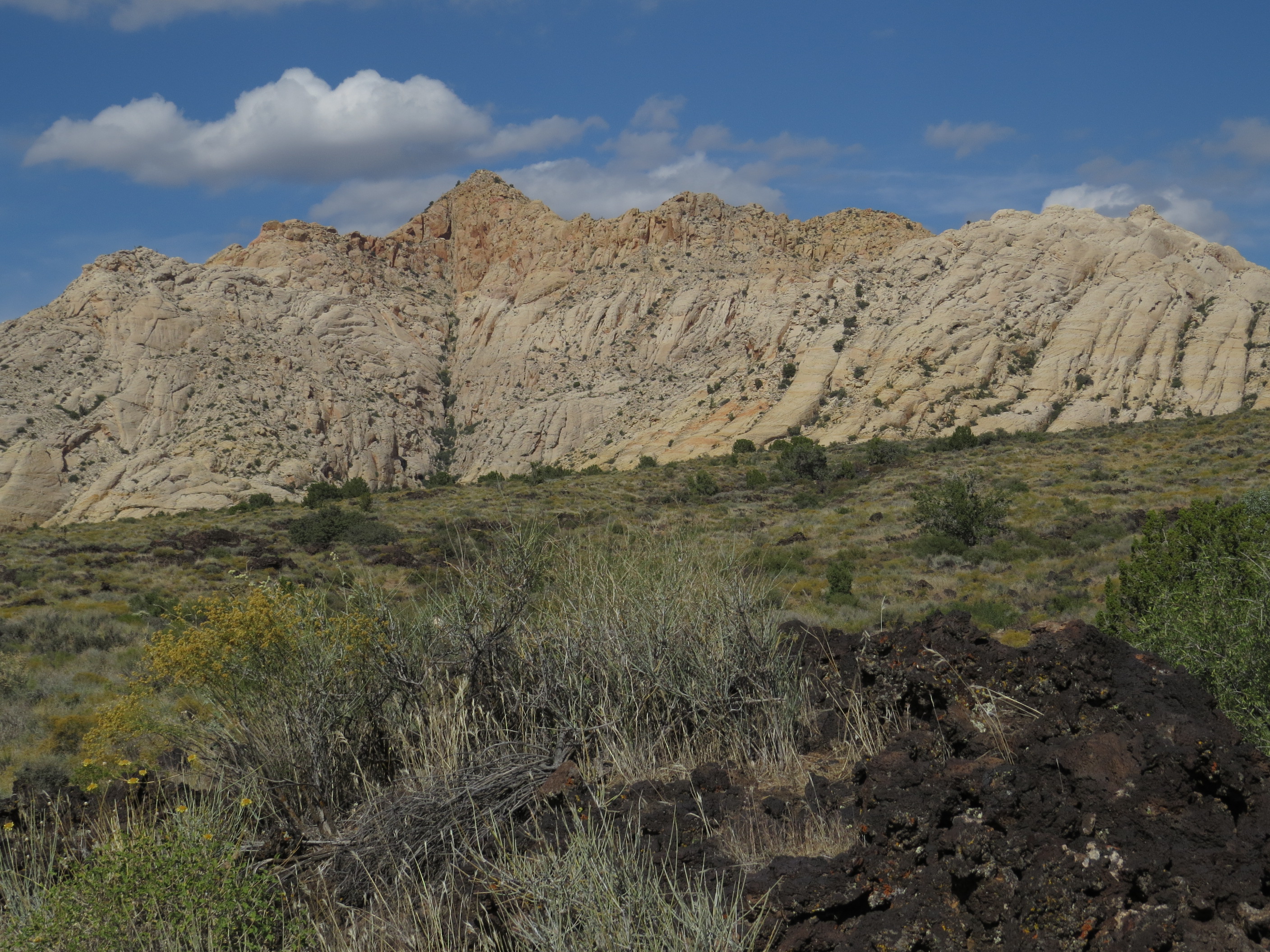
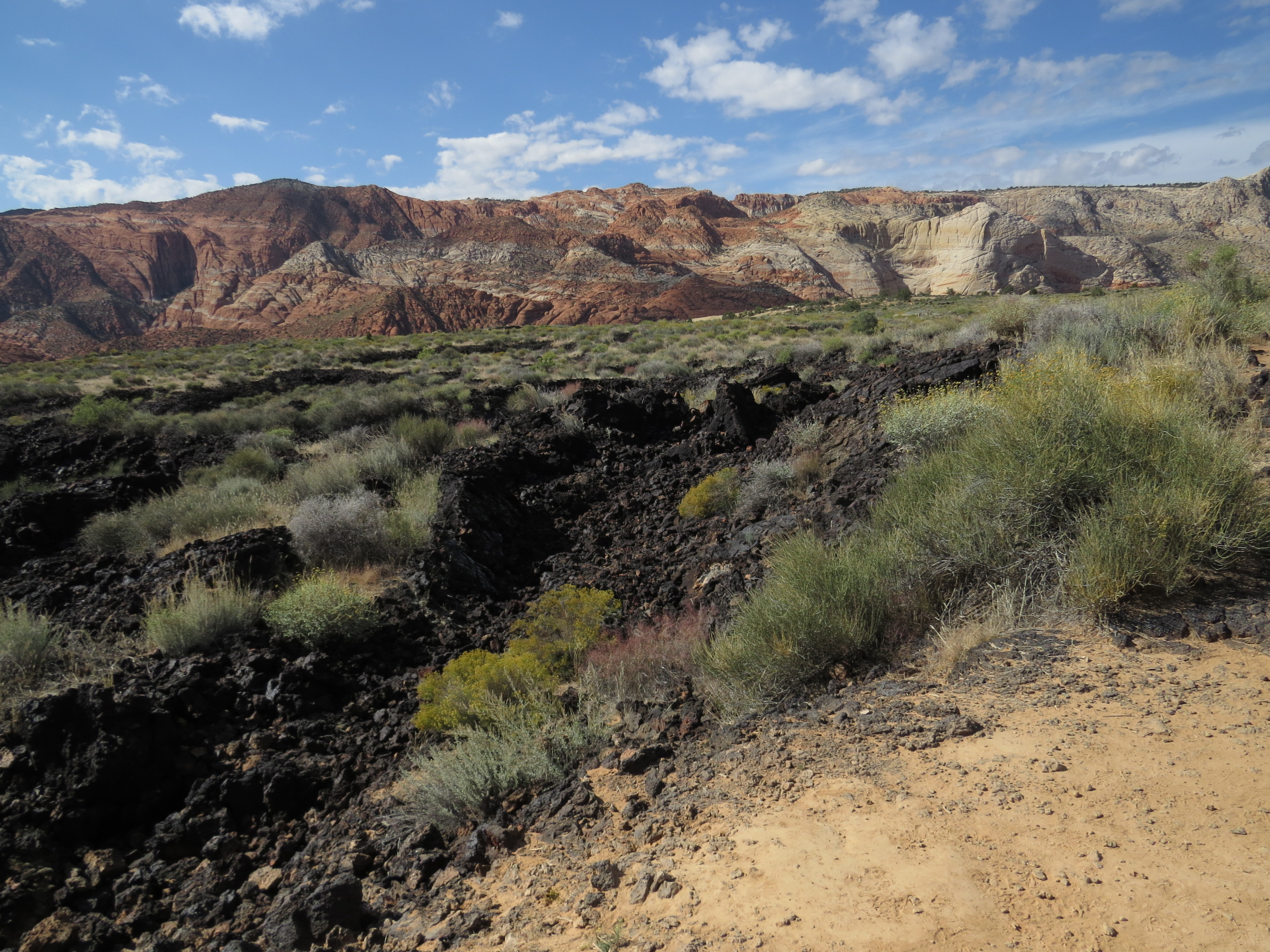
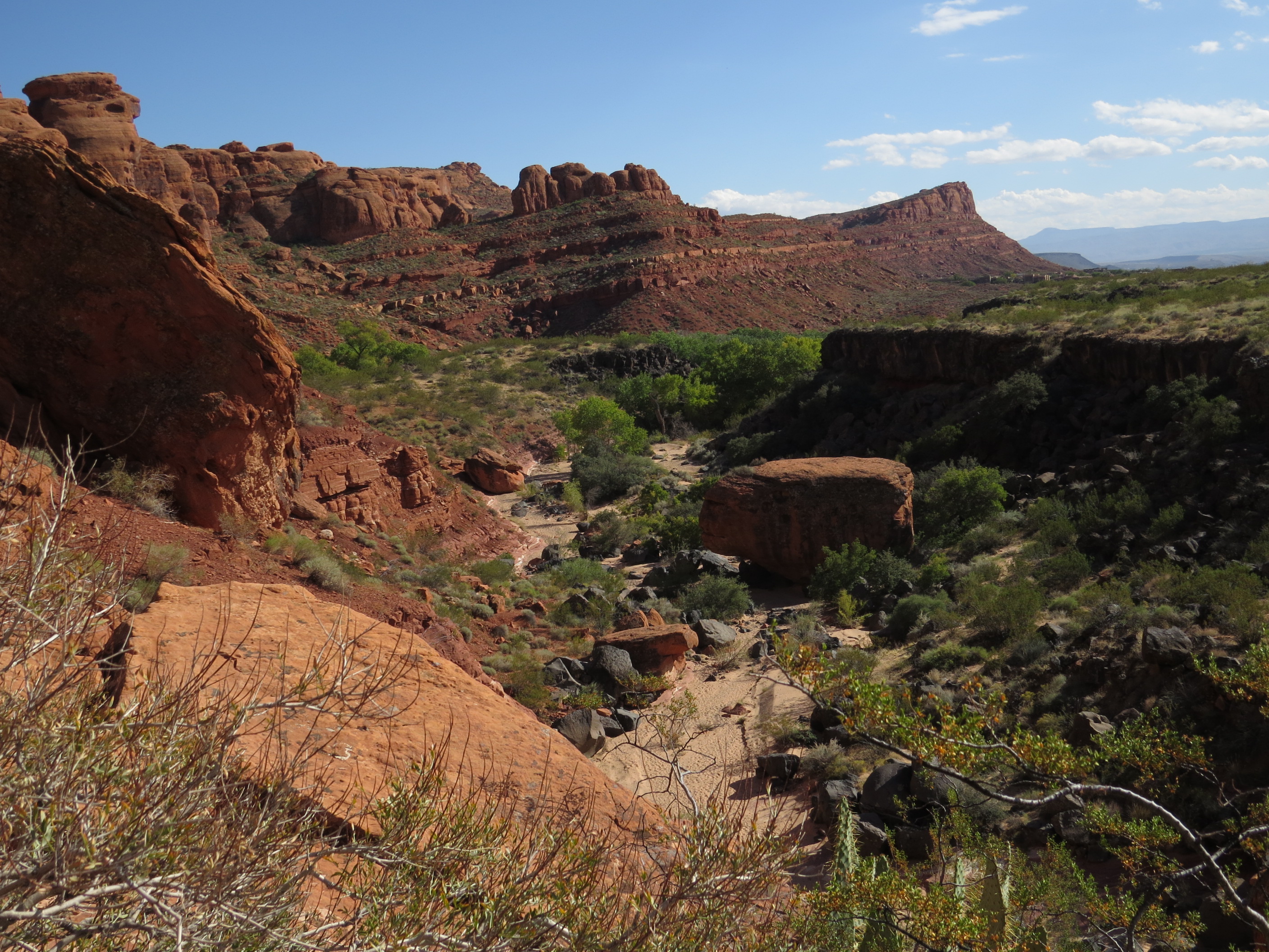
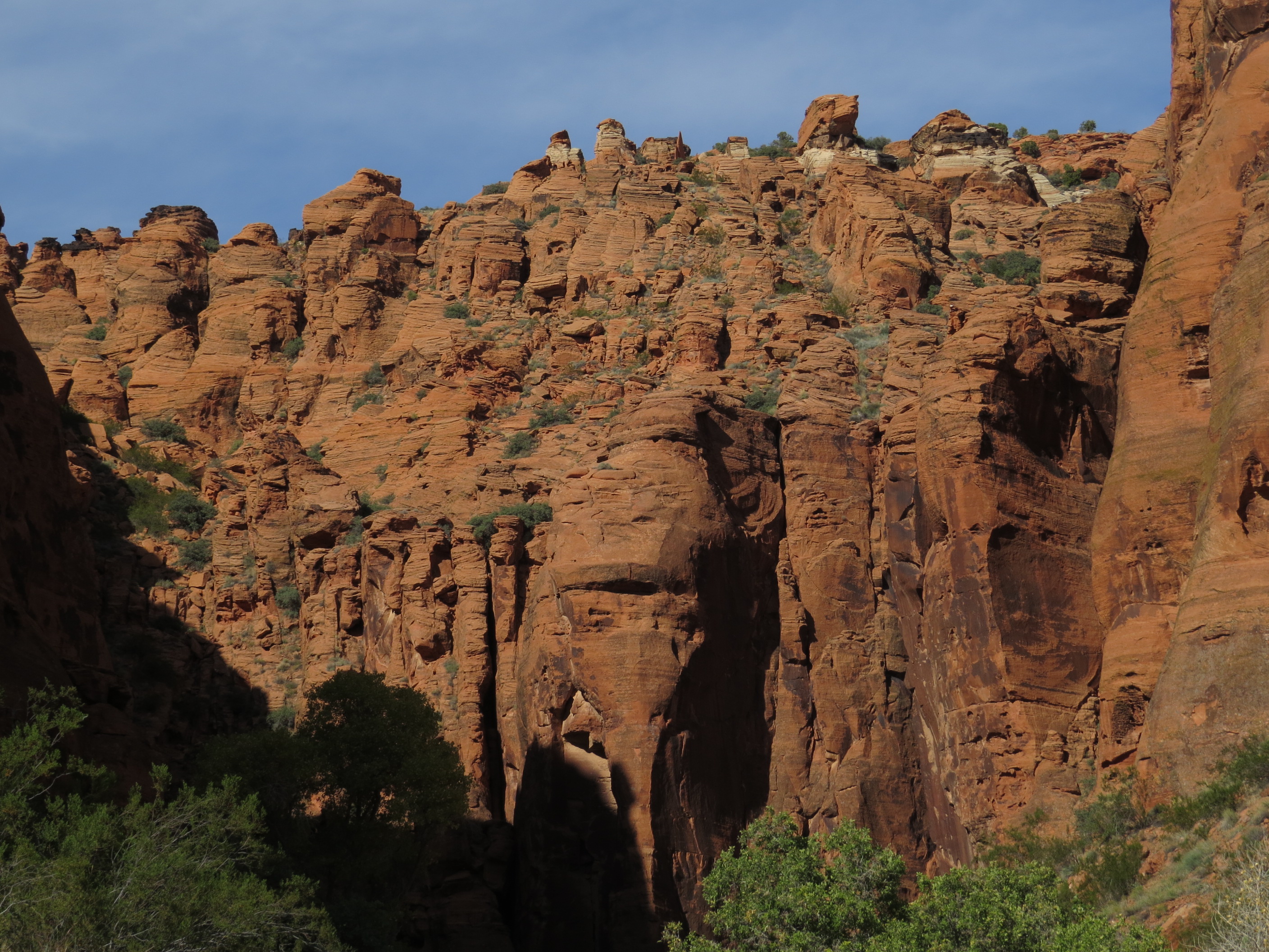
And the beautiful setting provided the distinct impression that Salt Lake City is surrounded by mountains!
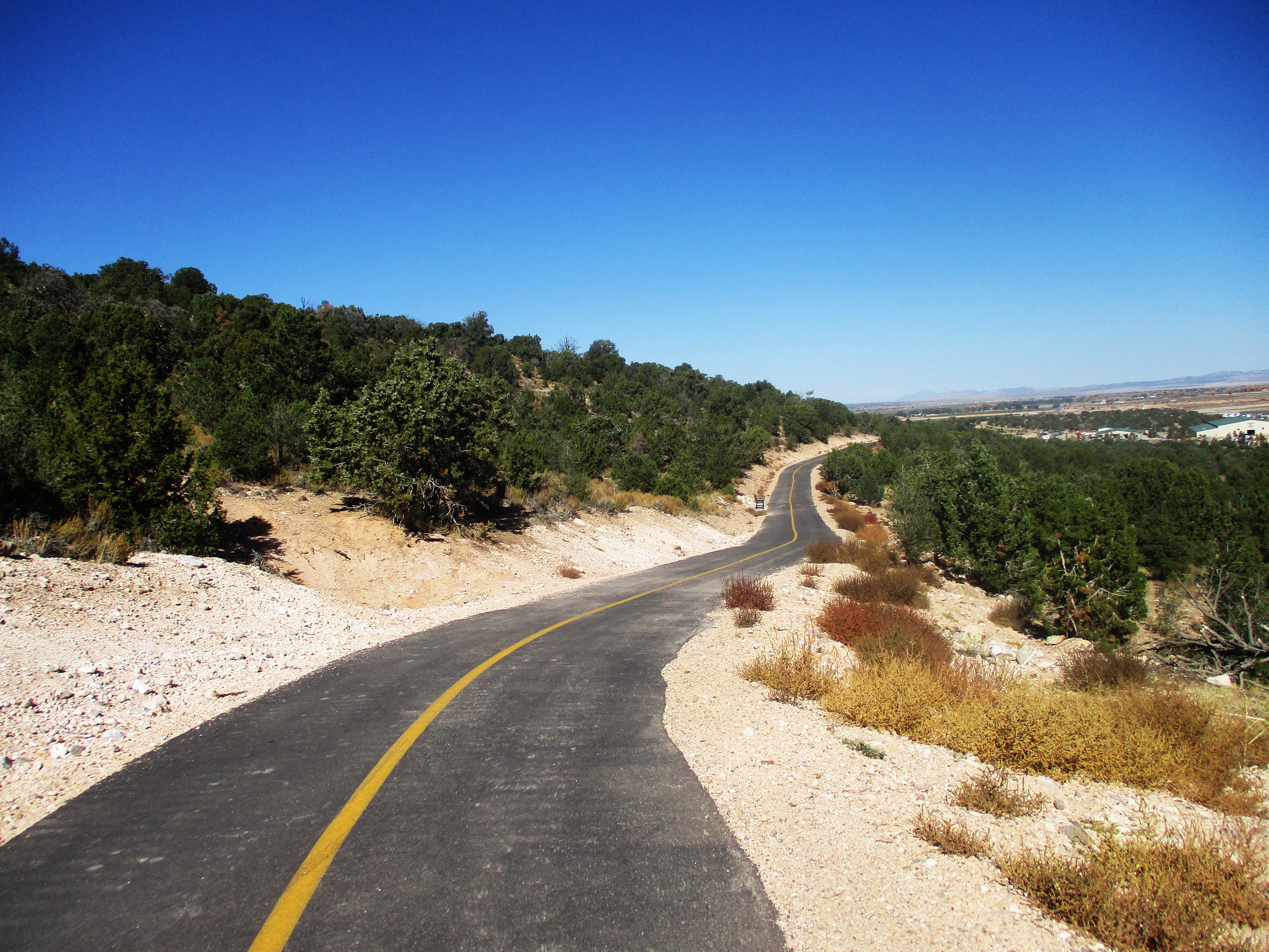
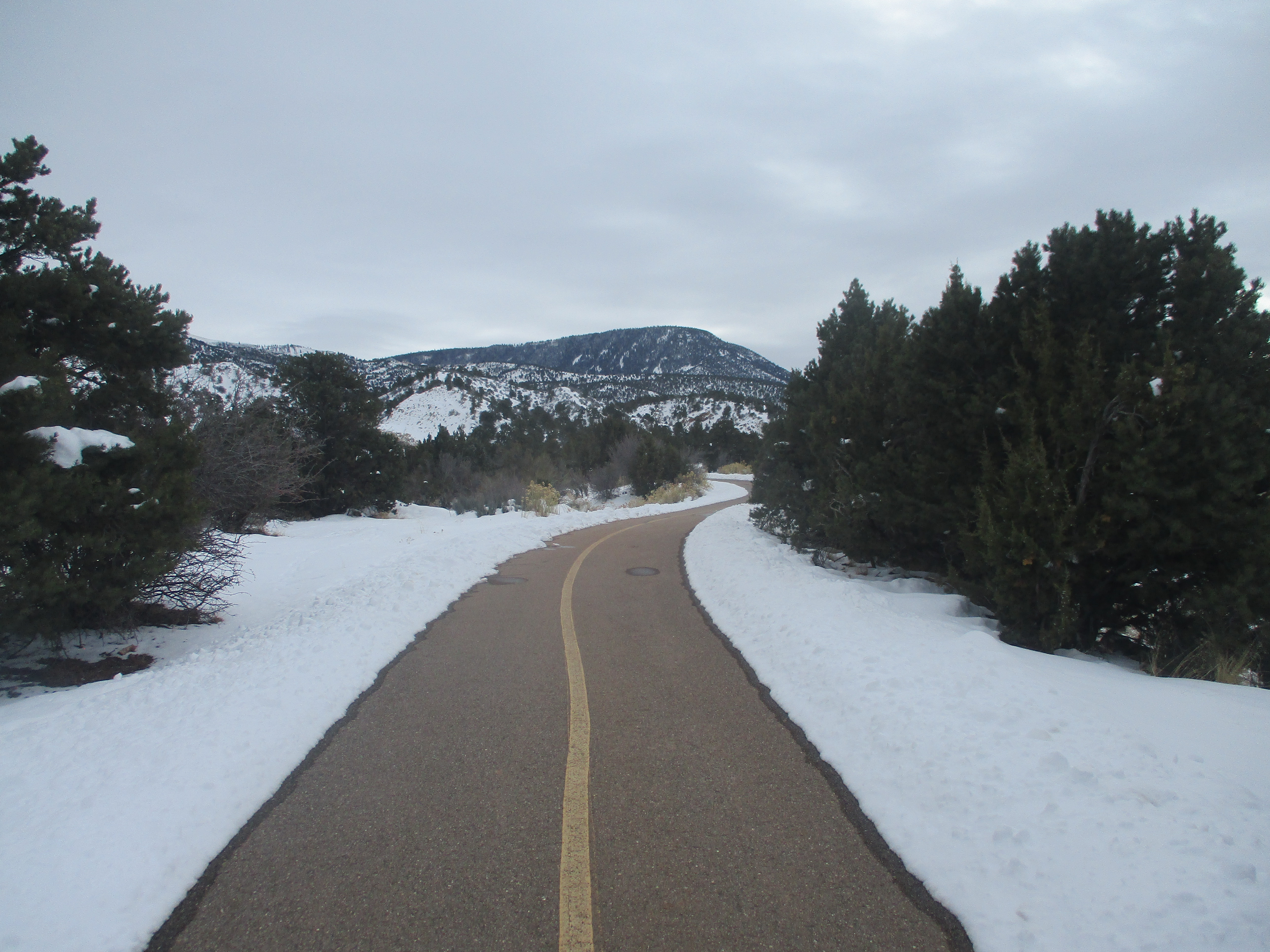
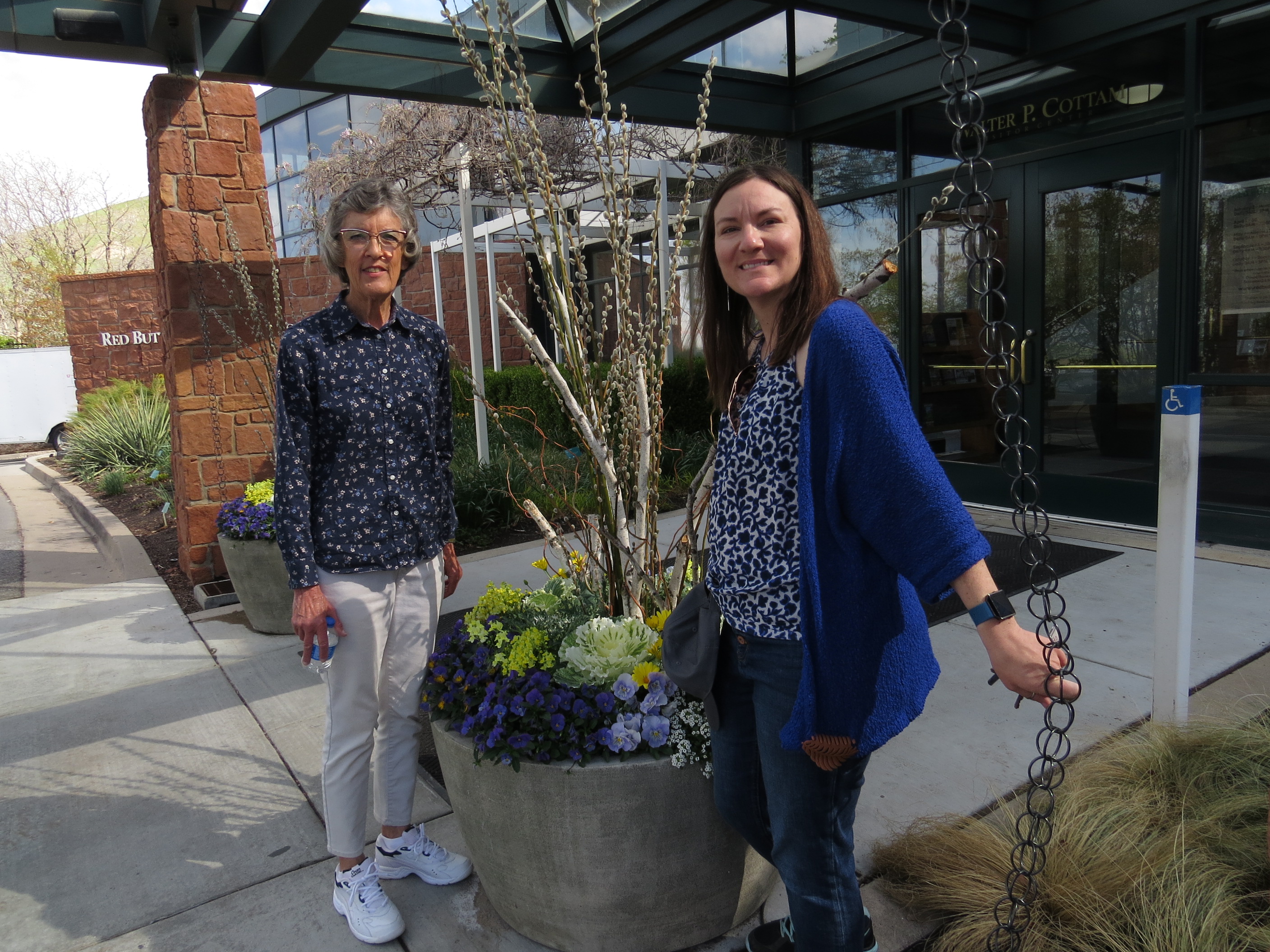
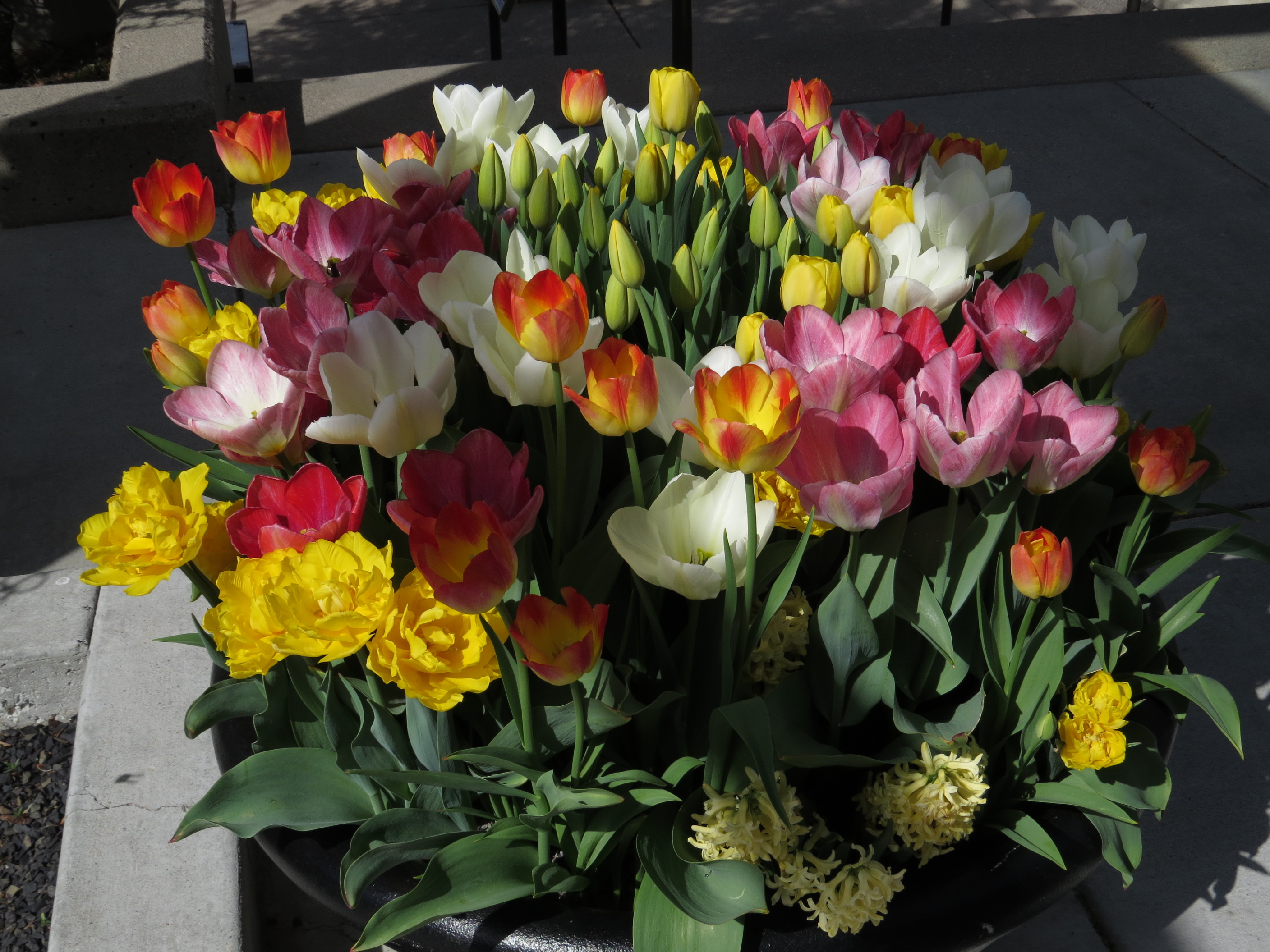
The hike was followed by a tasty dinner at a Sizzler Steakhouse – another restaurant not found in Huron in South Dakota. Following breakfast on Wednesday morning Alissa led the way to the University of Utah’s Red Butte Garden where the arboretum’s large collection of spring flowers was on full display.
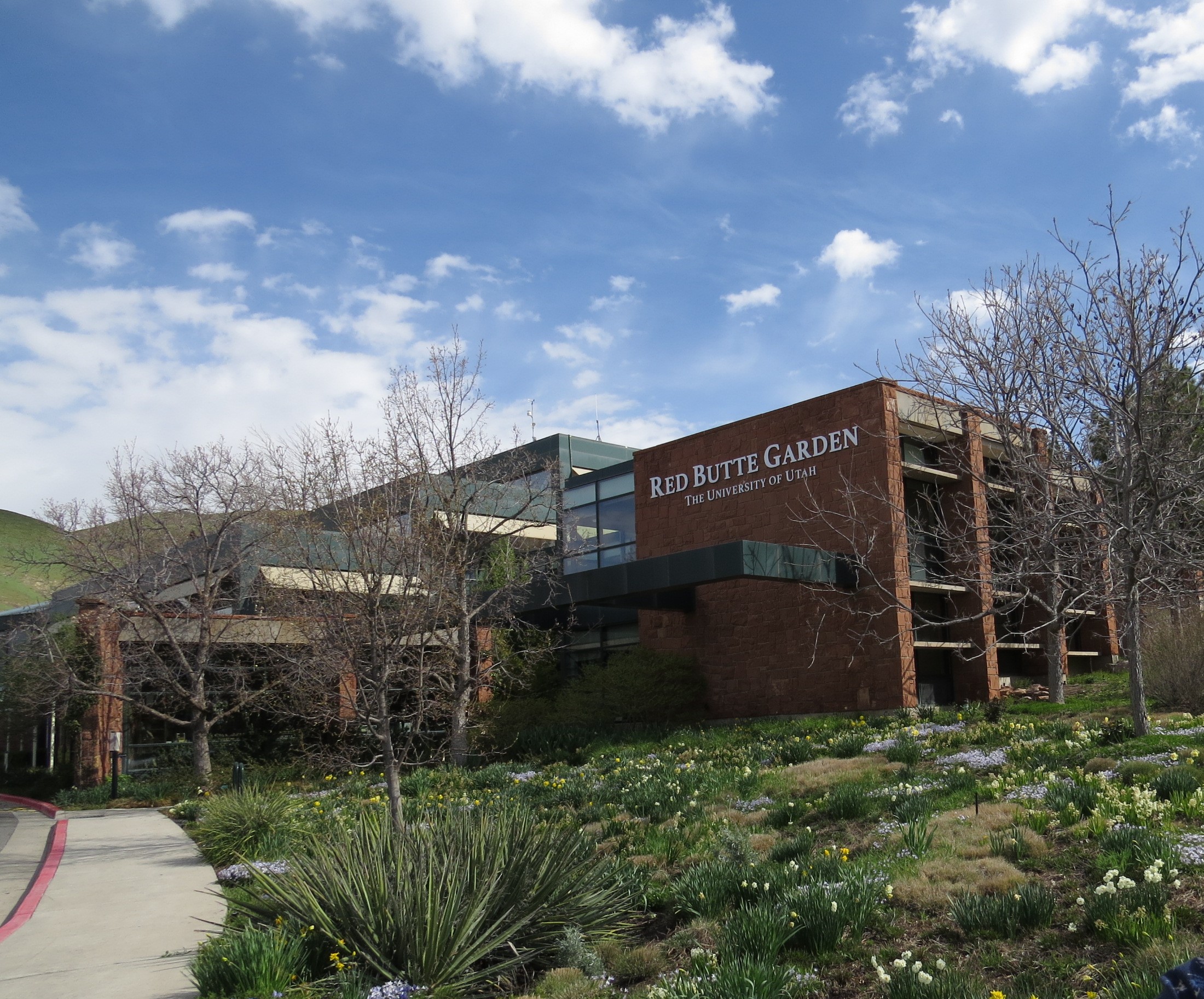
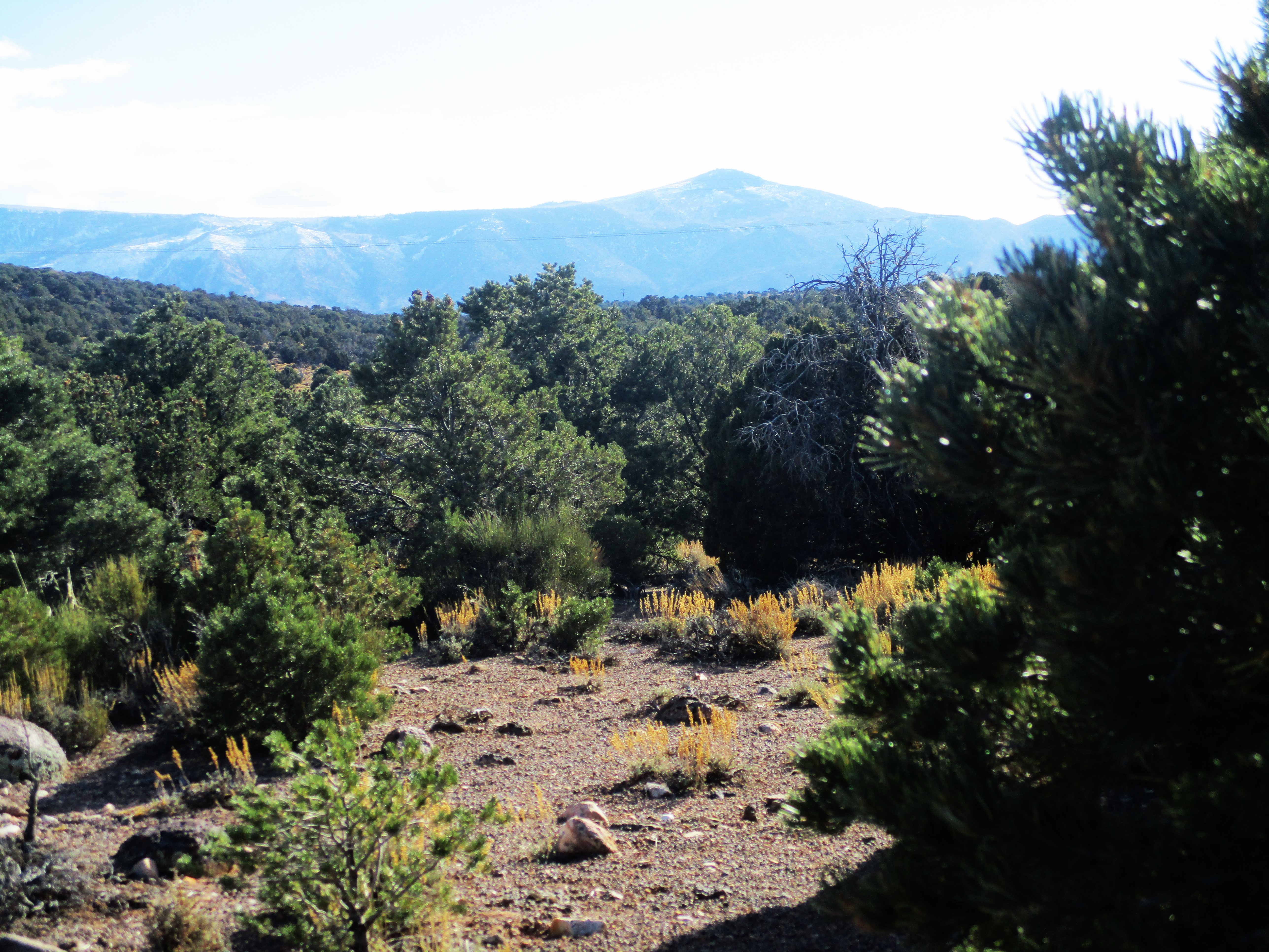
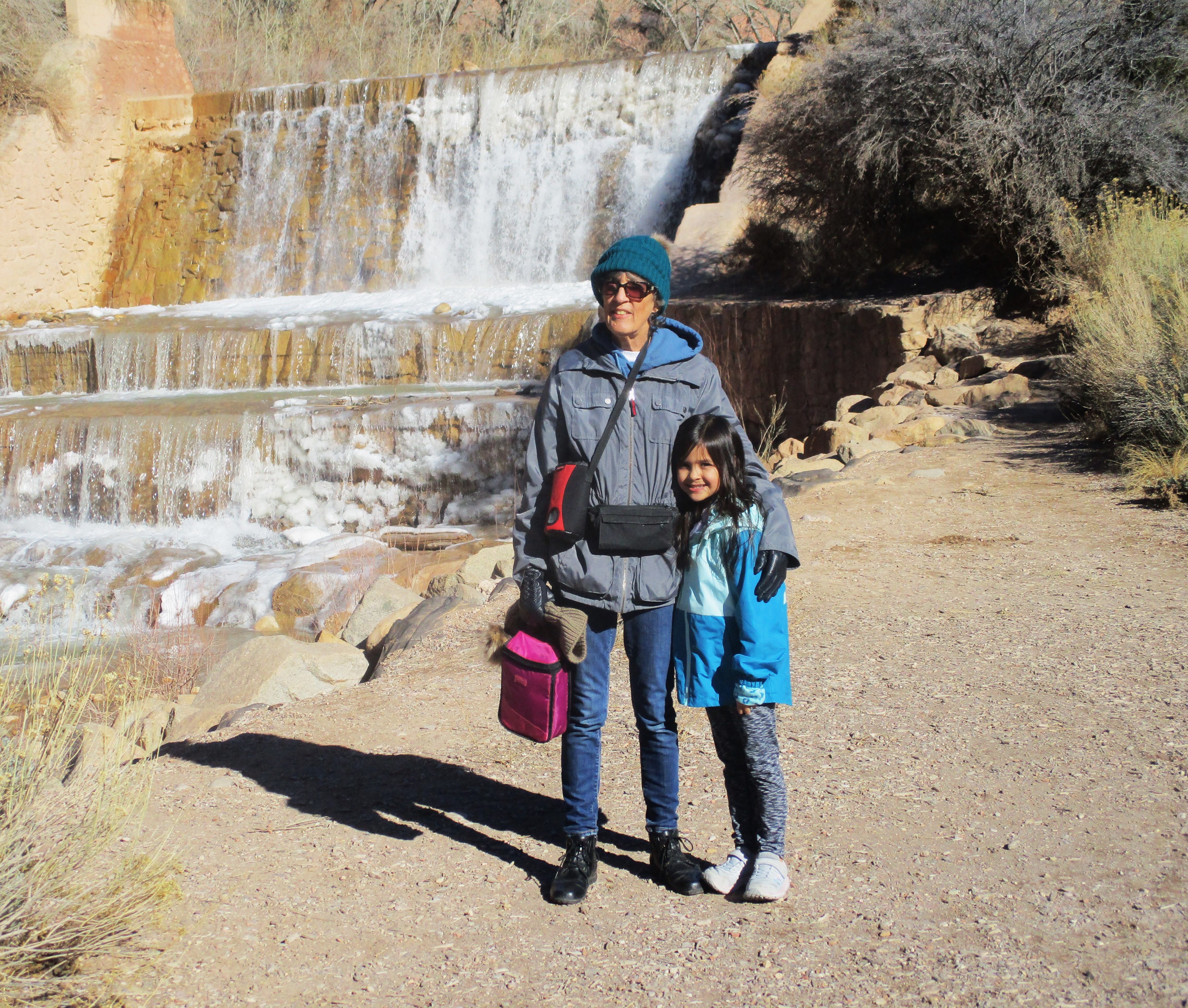
The arboretum’s paved walkways wound through many beautiful displays of flowers and other scenery.

The pleasant arboretum tour was followed by an enjoyable lunch at a nearby Corner Market – after which Alissa returned to her study schedule and Dave and Jan drove back to Cedar City. Dave and Jan are very blessed to enjoy occasional visits with Alissa and family – in spite of the distances involved. And they enjoy having Stephen and family living nearby in Cedar City. As the psalmist expressed it in Psalm 127:3, “Behold, children are a gift from the LORD.”